
8 Flat Lakeside Walks Near Vancouver for a Clear Winter Day
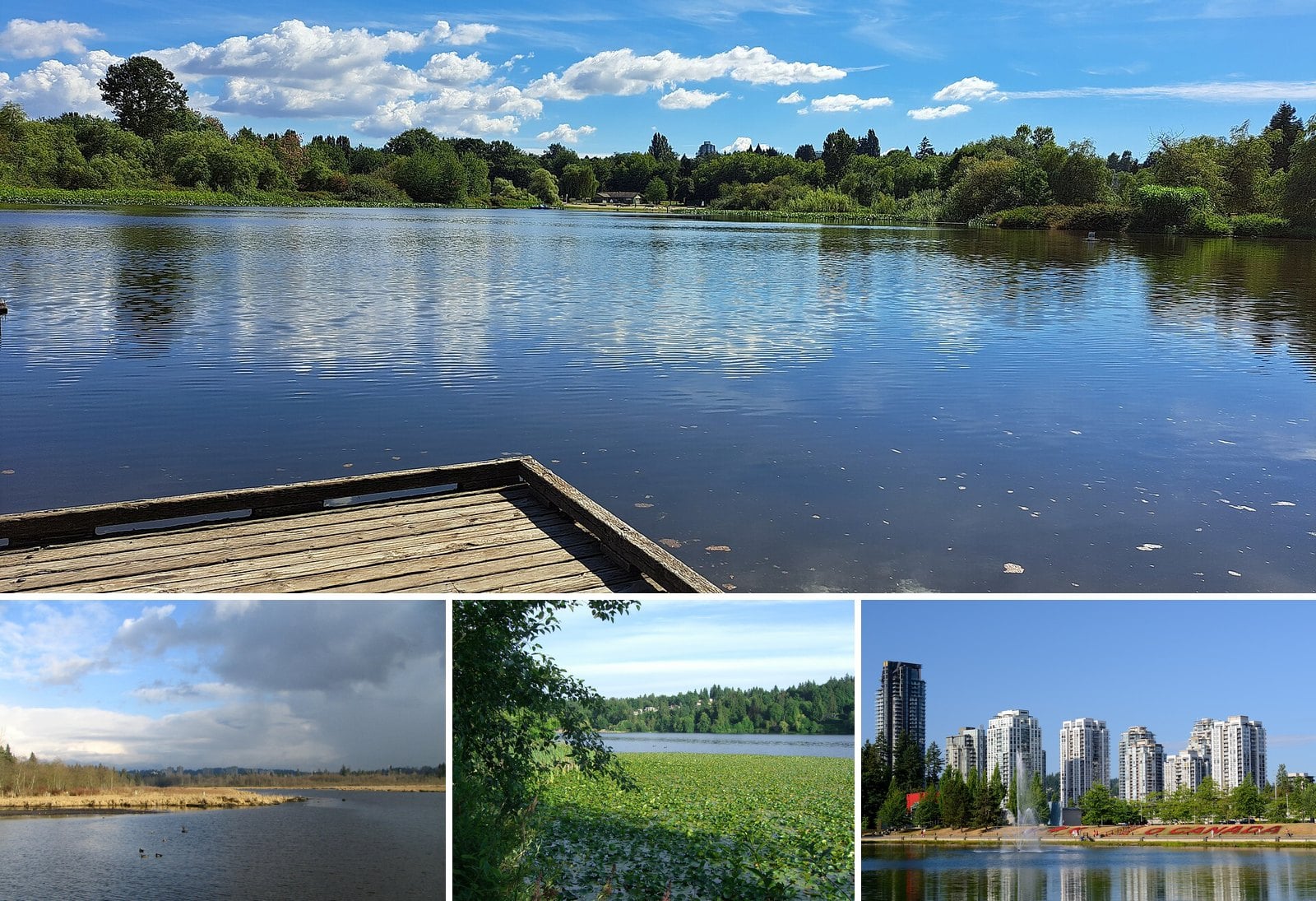
A clear day in December is rare enough that you should use it. The air is sharp, the mountains have snow on them, and the lakes sit still. You don’t need to climb anything to see it.
This guide covers lake walks from East Vancouver out to Mission. They range from a city loop you can finish in 15 minutes to a 10 km marsh circuit that takes most of an afternoon. Each entry has the loop length where an official source gives one, the surface, the dog rules and how to get there.
Winter light is the catch. Some gates close as early as 4:30 p.m., and the summer parking systems are off until next season. Pick your walk, check the gate time, and leave early.
| Walk | Length or time | Surface notes | Dogs |
|---|---|---|---|
| Trout Lake | 1.23 km, 15 to 25 min | Loop around the lake | Off-leash area at north end |
| Burnaby Lake Loop | 10 km, about 3 hours | Flat, boardwalk; stairs at Cariboo Dam and Deer Lake Brook bridge | Not listed |
| Deer Lake | Not posted | Crushed gravel, hard-packed dirt, boardwalk | Not listed |
| Lafarge Lake | 1.2 km | Asphalt, except nature trail to pier | Not listed |
| Rice Lake | Not posted | Forest; short stroll from lot | Not allowed |
| Alouette South Beach and Spirea | Not posted | Beach plus wheelchair-accessible trail | Leashed, boat launch to canoe rental only |
| Rolley Lake Lakeside Loop | About 40 min return | Mostly flat, marsh boardwalk | Not listed |
| Buntzen Energy Trail | 1 km | Stay near South Beach for level ground | Leashed on all trails |
8. Buntzen Lake: South Beach and the Energy Trail (Anmore)
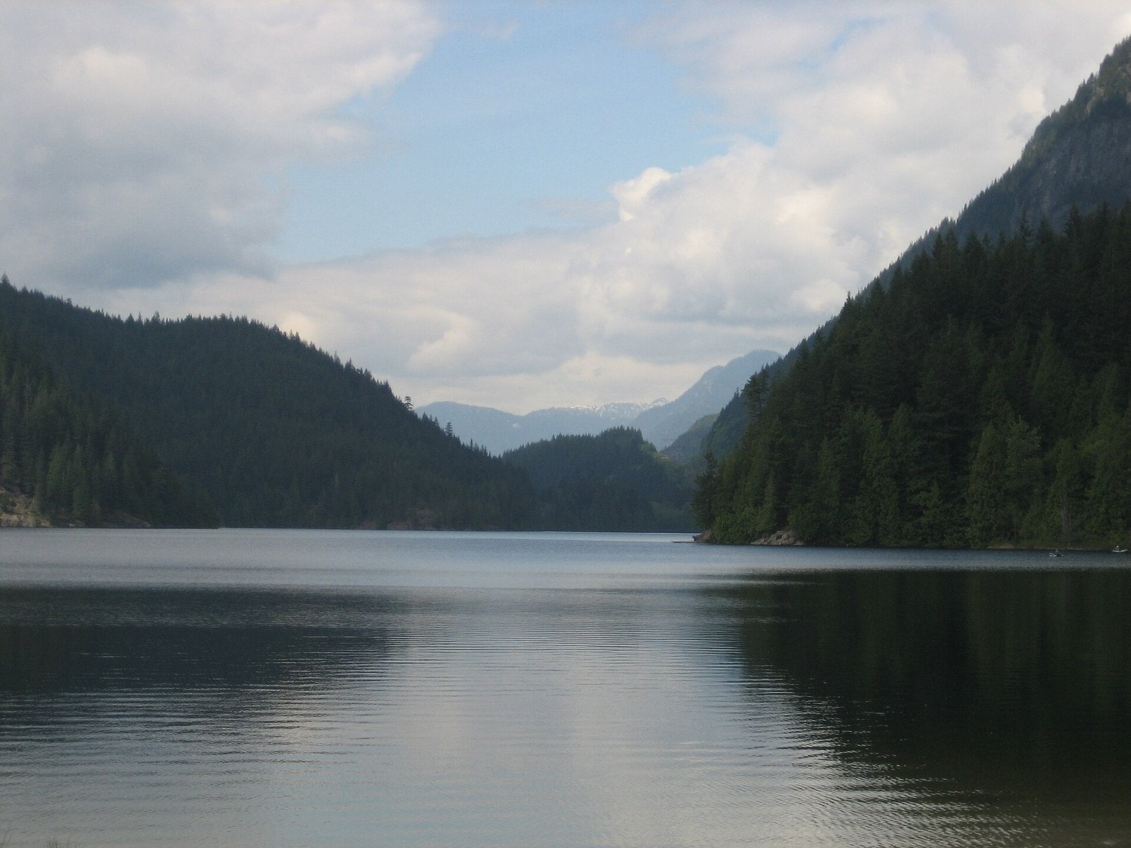
Where: BC Hydro recreation area, Anmore
When: 8 a.m. to 4:30 p.m., November 2 to January 31
Cost: Free
Getting there: Bus 182 to Anmore Grocery
Buntzen is a BC Hydro reservoir north of Port Moody. The full Buntzen Lake Loop Trail is 8 km. It is not flat. For a level walk, stay near South Beach or do the short Energy Trail.
BC Hydro suggests returning along Powerhouse Road as a shorter, easier option. Right now that shortcut isn’t available. After a rockslide, there’s no pedestrian access on Powerhouse Road between North Beach and Buntzen Dam.
Leashed dogs are allowed on all trails, but not in the main beach area; BC Hydro allows dogs only in designated areas. Parking reservations only apply in summer, from May 14 to September 7, 2026. This winter, the gates are open 8 a.m. to 4:30 p.m. from November 2 to January 31. Confirm on the BC Hydro Buntzen Lake page.
Don’t arrive before opening, because there’s no parking in Anmore. Bus 182 stops at Anmore Grocery, about a 30-minute walk from South Beach. With a 4:30 p.m. close, plan to be driving out by about 4 p.m.
7. Rolley Lake Lakeside Loop (Mission)
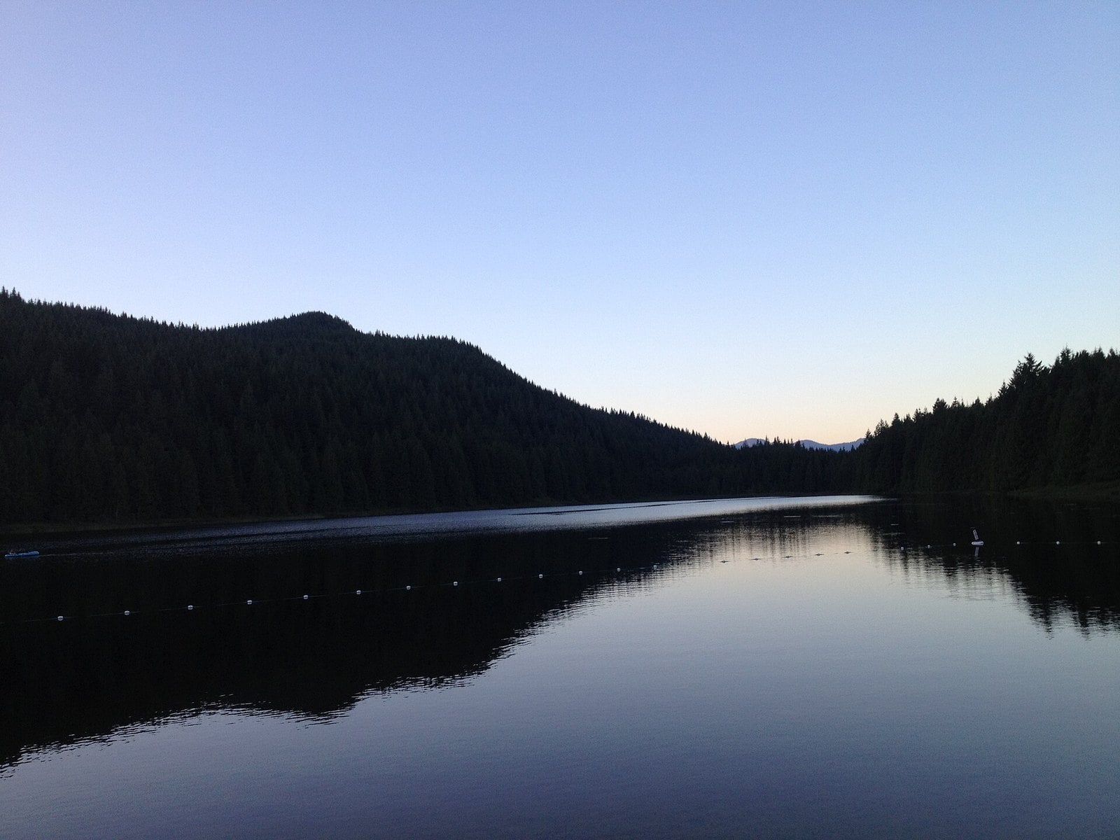
Where: Rolley Lake Park, northwest of Mission
When: Campground open year-round; confirm winter day-use gate times
Cost: Free for day use
Getting there: Highway 7 to 287th St, Dewdney Trunk Rd, then Bell St
BC Parks times the Lakeside Loop at about 40 minutes return. The Province describes the park as mostly flat and covered in tall trees. It’s a good middle option between a city loop and a full afternoon.
The highlight is the wooden boardwalk over the marsh at the southwest end. BC Parks points to it for wildlife viewing. Bring patience and stand still for a few minutes.
The campground is open year-round and grew to 92 drive-in sites in 2026. E-bikes are not allowed on the trails. The 10-minute Rolley Falls spur is not part of the flat loop. Skip it if anyone in your group needs level ground.
The park is 23 km northwest of Mission. Take Highway 7 to Maple Ridge, turn north on 287th St, turn right on Dewdney Trunk Rd, then left on Bell St. Check winter day-use gate times on the BC Parks Rolley Lake page first.
6. Alouette Lake South Beach and the Spirea Universal Access Trail (Maple Ridge)
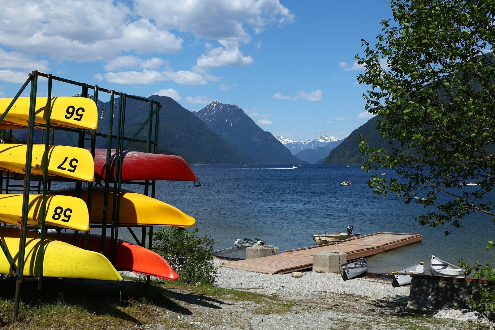
Where: Golden Ears Park, north of Maple Ridge
When: Main gate closed 5:30 p.m. to 8 a.m., mid-October to March 31
Cost: Free; day-use passes apply May 15 to Sept 7 only
Getting there: Wheelchair beach access from South Beach parking lot #2
This one isn’t a lake loop. It’s a flat beach stroll at South Beach plus a short forest trail at the Spirea trailhead. BC Parks lists the Spirea Universal Access Trail as wheelchair-accessible. There’s also wheelchair access to the beach from South Beach parking lot #2.
Alouette Lake is in Golden Ears Park, north of Maple Ridge. In summer the beach is crowded enough to need a day-use pass system. In winter you get the shoreline and the mountains without the paperwork. Vehicle passes only apply from May 15 to September 7, 2026.
Dogs are not allowed on the main part of South Beach. Leashed dogs are allowed in the day-use area between the boat launch and the canoe rental shop. Current rules are on the BC Parks Golden Ears page.
The main gate is closed from 5:30 p.m. to 8 a.m. from mid-October to March 31. Be back at your car with time to spare. Being locked in is a long, cold evening.
5. Rice Lake (North Vancouver)
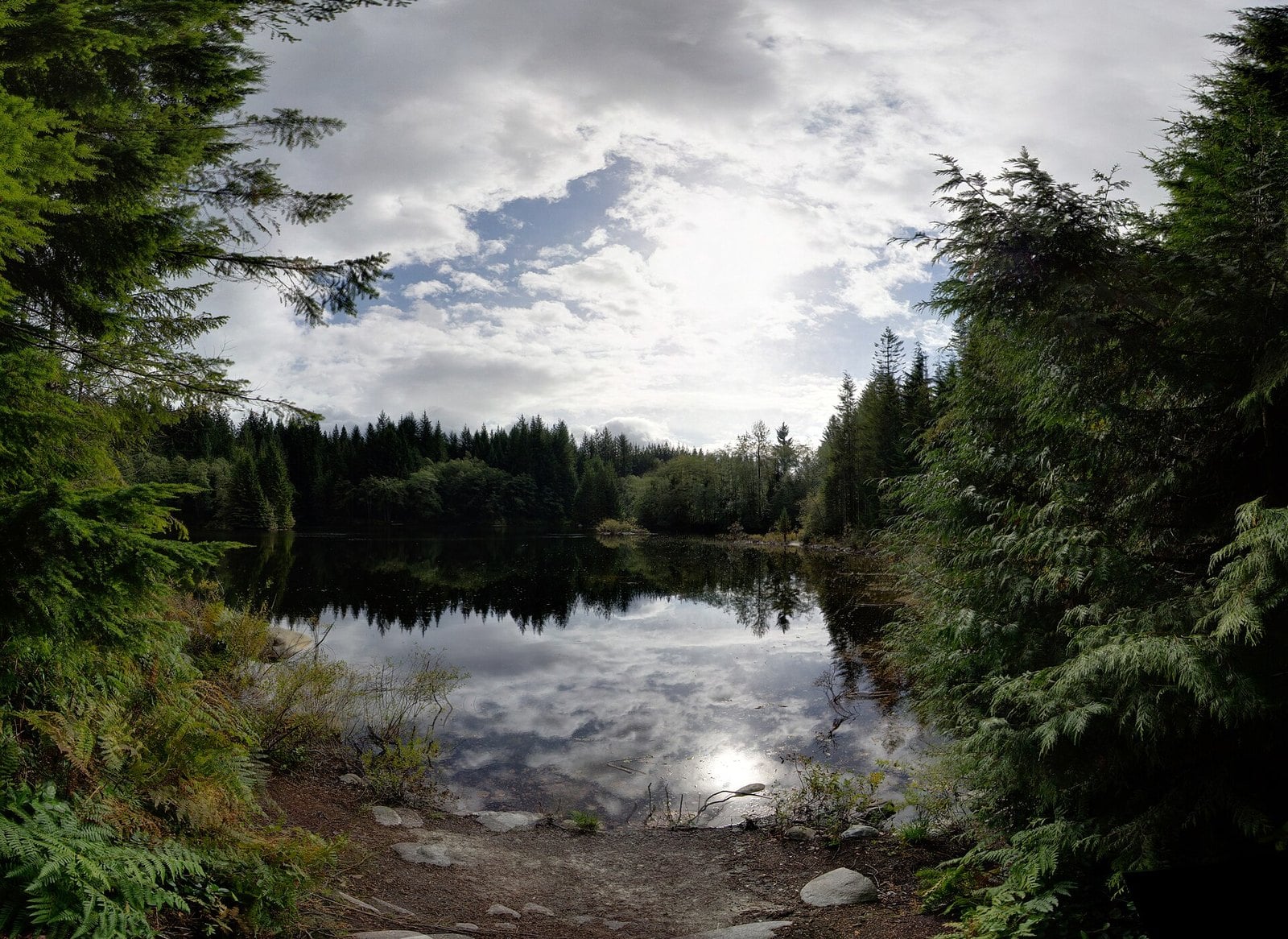
Where: Lower Seymour Conservation Reserve, North Vancouver
When: Year-round; confirm winter gate hours with Metro Vancouver
Cost: Free
Getting there: Highway 1 exit 22B to Lillooet Road
Rice Lake sits inside the Lower Seymour Conservation Reserve, a 5,668-hectare protected area on the Shore. It’s a forest walk. The view is a calm lake with trees reflected in it, not a mountain panorama. On a still winter morning that’s no downgrade.
The lake is a short stroll from the Rice Lake Gate lot on Lillooet Road. A wheelchair-accessible fishing dock sits at the south end. The lake is heavily stocked with rainbow trout in spring and fall, so expect anglers. Low-mobility anglers can call ahead and ask to be driven in along the access road.
Dogs are not allowed. Leave them home for this one.
By car, take Highway 1 exit 22B and follow Lillooet Road to the last lot. On foot, you can also start near Rice Lake Road on the other side of Lynn Creek, cross the Lynn Valley Pipeline Bridge and follow the Baden Powell Trail to the Rice Lake Gate. For transit, check translink.ca. For winter gate hours, check the Metro Vancouver reserve page before you go.
4. Lafarge Lake (Coquitlam)
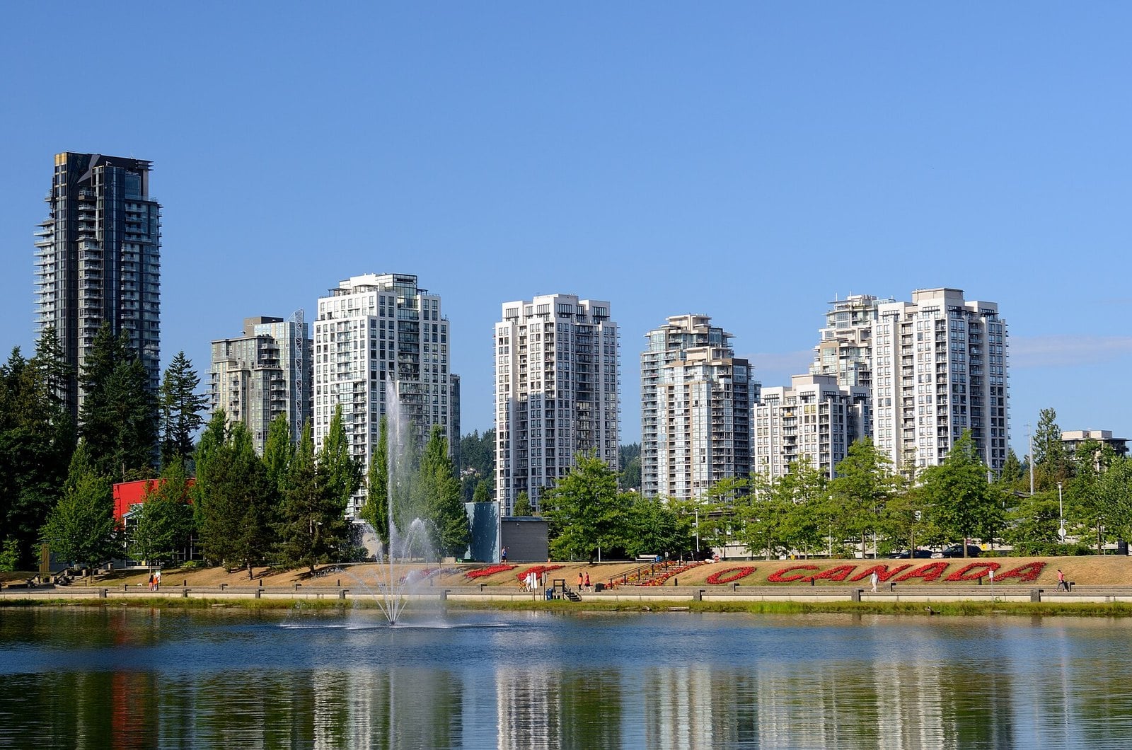
Where: Town Centre Park, 1299 Pinetree Way, Coquitlam
When: Year-round
Cost: Free
Getting there: Lafarge Lake-Douglas SkyTrain station, beside the park
The Lafarge Lake Loop is 1.2 km on hard asphalt. The one exception is the nature trail at the south end that leads to the fishing pier. For strollers, walkers and wheelchairs, the paved loop is an easy option.
The lake wasn’t always here. The site was a gravel plant and pit. The Lafarge company donated the excavated lake to the City in the mid-1980s. Today it sits in Town Centre Park and is stocked with rainbow trout between March and November.
The City suggests coming in the evening for the fountain colours and seasonal light displays. Lights at Lafarge opens November 27, 2026, according to news and event listings. Park details are on the City of Coquitlam’s Town Centre Park page.
Transit makes this easy. Lafarge Lake-Douglas SkyTrain station is at Guildford Way and Pinetree Way, right beside the park. Walk the loop at golden hour, then stay as the lights come on.
3. Deer Lake Park (Burnaby)
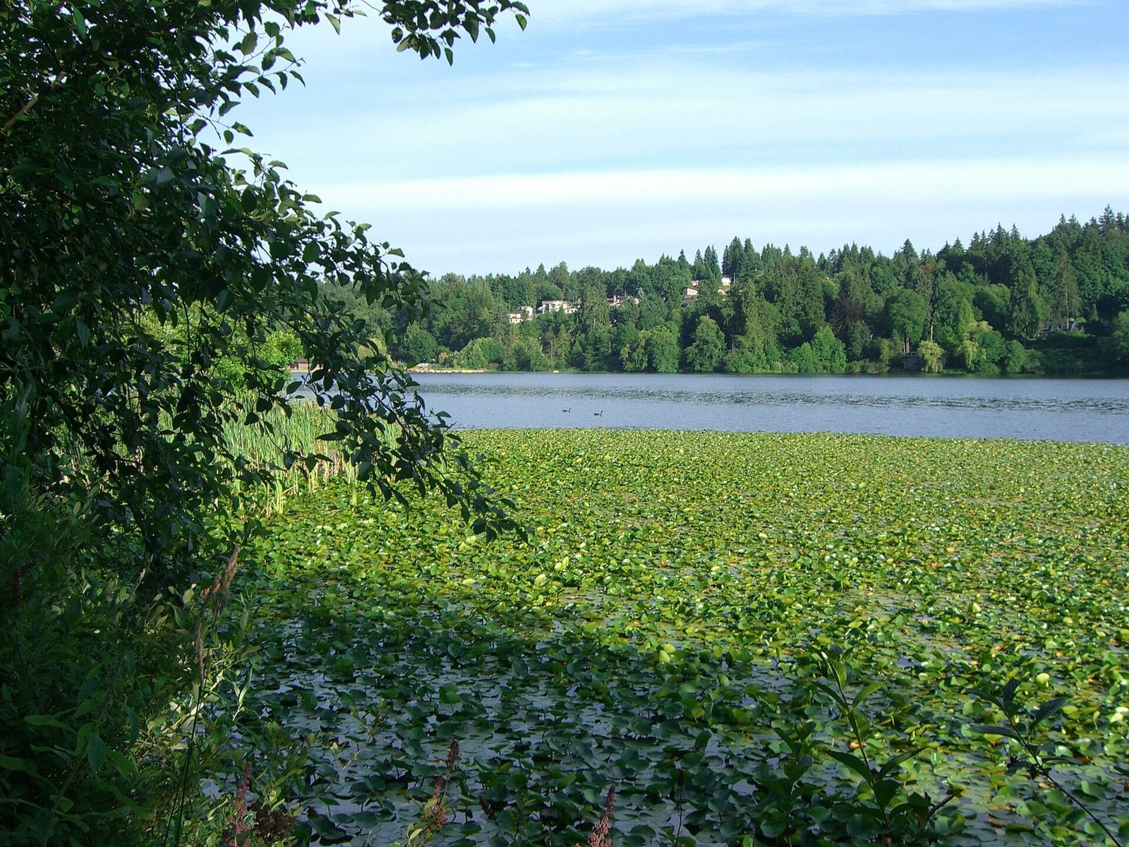
Where: Central Burnaby, off Canada Way
When: Dawn to dusk, daily
Cost: Free to walk
Getting there: Deer Lake Ave entrance near the Shadbolt Centre
Deer Lake is the walk with things attached. The main trail mixes finely crushed gravel, hard-packed dirt and wooden boardwalk. It links the lake with the Burnaby Art Gallery, the Shadbolt Centre for the Arts, Burnaby Village Museum and Hart House restaurant. You can turn a lap into a half day. Note that the boardwalk section by the boat launch is closed for a full replacement (since September 21, scheduled to finish by winter 2027); follow the signed detour along Sperling Avenue and Deer Lake Drive, about five extra minutes of walking.
The City describes ‘many connecting trails’ around the lake but doesn’t give a loop length, so pick by feel.
Watch for turtles on logs and red-tailed hawks overhead. Beavers sometimes work on dams at the marshy west end. That end is the slowest part of the walk, in a good way.
Burnaby parks are open dawn to dusk, every day. The boat launch and beach area, off Sperling Ave at the east end, is one access point; the cultural centre sits on the north side. Route details are on the City of Burnaby’s Deer Lake Park page. If you plan to stop at the museum or Hart House, check their own sites for winter hours first.
2. Burnaby Lake Loop (Burnaby)
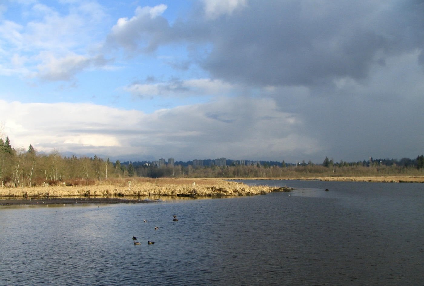
Where: Burnaby Lake Regional Park, Burnaby
When: Opens 7 a.m.; earliest closing 5 p.m.
Cost: Free
Getting there: Piper Ave, Glencarin Dr or the Sperling-Burnaby Lake SkyTrain side
This is the long one. Metro Vancouver signs the Burnaby Lake Loop at 10 km. The City of Burnaby calls it 11 km. Either way, budget the afternoon. The trails are flat, with boardwalk along the marsh edge. The only stairs are at Cariboo Dam and the Deer Lake Brook bridge.
The lake is a marsh at heart, and that’s why it holds wildlife. Blue herons, turtles and beavers all live here year-round. Check the park brochure for which trails allow cycling or horses.
The park opens at 7 a.m. The earliest posted closing is 5 p.m. In December that means starting the full loop by about 1:30 p.m. Check the Metro Vancouver park brochure for the map and trailheads.
1. Trout Lake (East Vancouver)
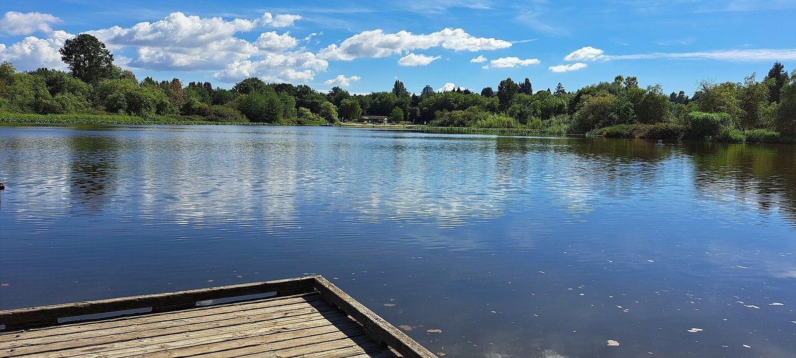
Where: Victoria Dr at E 19th Ave, Cedar Cottage
When: Year-round
Cost: Free
Getting there: Community centre at 3360 Victoria Dr
Trout Lake is the only accessible freshwater lake in the City of Vancouver. That alone makes it worth knowing. The walking trail around it measures 1.23 km in a 2010 City document. It takes about 15 to 25 minutes. Later planning boards put it closer to 1.25 km, so treat it as a short loop and don’t worry about the decimals.
The park around the lake is John Hendry Park. Part of the land came to the Vancouver Park Board through a 1926 donation. The grassy south end has open views of the North Shore mountains. On a clear winter day that view is the reason to come. The modern Trout Lake Community Centre opened in 2012 at 3360 Victoria Dr.
Dog owners use the off-leash area at the north end of the lake. Fishing, boats and other watercraft are not allowed on the lake without authorization. The City is running a water-quality assessment until the end of 2027. Details are on the City’s Trout Lake beach page.
Local tip: start at the beach on the south end and look north across the water. That’s where the mountains line up behind the lake.
| Column 1 | Column 2 |
|---|---|
| Golden Ears | Day-use pass, May 15–Sept 7 |
| Buntzen | Parking reservation, May 14–Sept 7 |
When to go
Go early in the day. Winter closing times are the main thing that can spoil a clear afternoon. Buntzen closes at 4:30 p.m. The Golden Ears main gate shuts at 5:30 p.m. Burnaby Lake’s earliest closing is 5 p.m. Burnaby city parks, including Deer Lake, run dawn to dusk.
For the full Burnaby Lake loop, start by about 1:30 p.m. in December. Check Rice Lake and Rolley Lake winter gate times before you leave.
What to bring
- A light that works, in case the walk runs past sunset.
- Warm layers and dry footwear. Boardwalk and marsh edges stay damp in winter.
- A leash, even at parks with dog-friendly sections.
- Your fishing licence if you plan to fish a stocked lake.
Go prepared. Short days leave little margin if a walk takes longer than planned.
Dogs
- Rice Lake: no dogs.
- Buntzen: leashed dogs are fine on all trails, but keep them out of the main beach area.
- Trout Lake: the off-leash area is at the north end.
- Alouette South Beach: leashed dogs only between the boat launch and the canoe rental shop.
Accessibility
- Lafarge Lake: hard asphalt all the way round, except the nature trail to the pier.
- Spirea Universal Access Trail at Golden Ears: wheelchair-accessible, with beach access from South Beach parking lot #2.
- Rice Lake: wheelchair-accessible fishing dock at the south end.
- Burnaby Lake Loop: flat, but with stairs at Cariboo Dam and the Deer Lake Brook bridge.
Etiquette on the water
Lafarge and Rice lakes are stocked with trout. Give anglers room on docks and piers. At Trout Lake, fishing and boats are not allowed without authorization.
Getting there
- SkyTrain: Lafarge Lake-Douglas station sits beside Lafarge Lake. Burnaby Lake has a trailhead on the Sperling-Burnaby Lake SkyTrain side.
- Bus: check translink.ca for the bus to Lynn Valley Rd near Rice Lake Rd, then walk in. Bus 182 stops at Anmore Grocery, about a 30-minute walk from Buntzen’s South Beach.
- Car: Rice Lake is off Highway 1 exit 22B. Rolley Lake is reached via Highway 7, 287th St, Dewdney Trunk Rd and Bell St.
- Summer systems: Golden Ears day-use passes and Buntzen parking reservations are summer-only and not in effect now.
The lakes don’t change much in winter. The light does. A cold, clear day turns a familiar loop into something worth the drive. Pick the walk that fits your afternoon, check the gate time, and be back at the car before the sun drops behind the hills.
Get the weekend plan in your inbox. Burrard Bulletin is a free email on what’s actually on from Vancouver to Whistler. Sign up here.
Photo credits
- North Trout Lake.jpg by Cascadia630, CC BY-SA 4.0 (combined into a montage, cropped). Via Wikimedia Commons.
- Burnaby Lake on a cloudy day.JPG by The original uploader was Flying Penguin at English Wikipedia., CC BY-SA 3.0 (combined into a montage, cropped). Via Wikimedia Commons.
- Deer lake bc 2.jpg by Napa, CC BY-SA 3.0 (combined into a montage, cropped). Via Wikimedia Commons.
- Coquitlam Lafarge Lake.jpg by Greg_Salter (talk) (Uploads), CC BY 2.5 (combined into a montage, cropped). Via Wikimedia Commons.
- Rice Lake – panoramio (1).jpg by Jeff Hitchcock, CC BY 3.0 (resized). Via Wikimedia Commons.
- Golden Ears Provincial Park – Alouette Lake (7278134912).jpg by GoToVan, CC BY 2.0 (resized). Via Wikimedia Commons.
- Blacky Pool Lake.jpg by Jmkwalkow, CC BY-SA 4.0 (resized). Via Wikimedia Commons.
- BuntzenLakePL280507.jpg by Patrick Leahy (Patleahy), CC BY 2.0 (resized). Via Wikimedia Commons.
