
23 BC Waterfront Towns Where Homes Are Still Valued Under $600K
In the Lower Mainland, $600,000 doesn’t go far. In a long list of BC towns on the ocean, an inlet or a big lake, it’s still above what the typical house was assessed at this year. In Granisle, on Babine Lake, that figure is $113,000.
The numbers come from BC Assessment’s 2026 rolls. They estimate market value as of July 1, 2025, and the “typical” figure is a median. These are not sale prices or listing prices. Across the province, total assessed real estate value fell almost 2.5 percent from 2025.
Some familiar names didn’t make the cut. Campbell River came in at $680,000, Salmon Arm at $658,000 and Lake Cowichan just missed at $606,000. What’s left runs from the upper Sunshine Coast to Haida Gwaii, the North Coast and the Kootenays. Each section covers the 2026 value, what you’ll actually find on the water and how to get there.
| Town | On the water | 2026 typical value | Change from 2025 |
|---|---|---|---|
| Granisle | Babine Lake | $113,000 | +12% |
| Stewart | Portland Canal | $179,000 | 0% |
| Tahsis | Tahsis Inlet | $204,000 | +2% |
| Fraser Lake | Fraser Lake | $206,000 | +4% |
| Fort St. James | Stuart Lake | $244,000 | +14% |
| Masset | Haida Gwaii | $251,000 | +8% |
| Alert Bay | Cormorant Island | $320,000 | +7% |
| Port Alice | Neroutsos Inlet | $335,000 | 0% |
| Kitimat | Douglas Channel | $364,000 | +6% |
| Port Hardy | Hardy Bay | $370,000 | +3% |
| Slocan | Slocan Lake | $407,000 | +1% |
| New Denver | Slocan Lake | $409,000 | +2% |
| Daajing Giids | Haida Gwaii | $428,000 | +8% |
| Prince Rupert | North Coast | $429,000 | +3% |
| Port McNeill | North Vancouver Island | $434,000 | -2% |
| Nakusp | Upper Arrow Lake | $438,000 | +5% |
| Williams Lake | Williams Lake | $440,000 | +5% |
| Silverton | Slocan Lake | $443,000 | +3% |
| Port Alberni | Alberni Inlet | $485,000 | -3% |
| Kaslo | Kootenay Lake | $488,000 | 0% |
| Chase | Little Shuswap Lake | $505,000 | +3% |
| Sicamous | Mara and Shuswap lakes | $514,000 | +2% |
| Powell River | Upper Sunshine Coast | $580,000 | +1% |
23. Stewart (Portland Canal)
Where: District of Stewart, head of the Portland Canal
When: July to September
Cost: Free to drive
Getting there: Highway 37A off Highway 37 (Stewart-Cassiar)
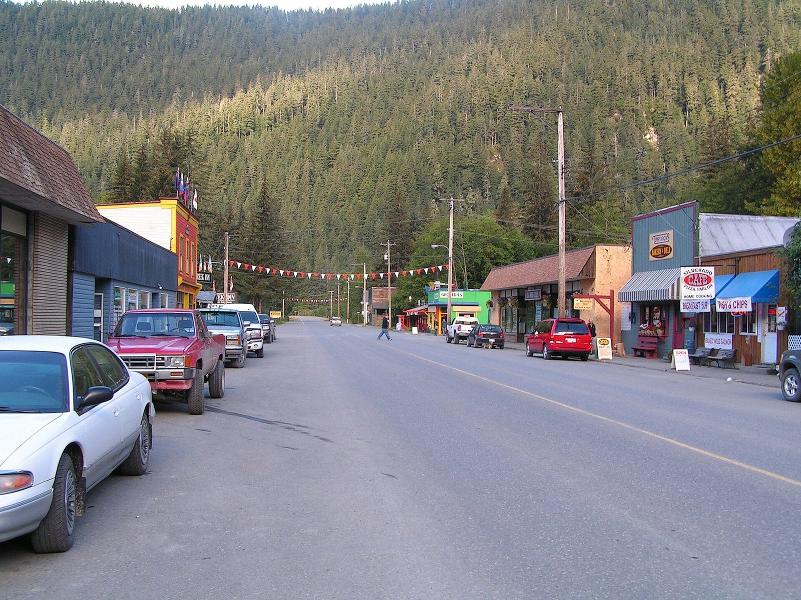
Stewart’s typical 2026 single-family value is $179,000, the same as 2025.
The drive in is the first reason to go. On the 65 km of Highway 37A you pass more than 20 glaciers, including Bear Glacier. From Stewart, the road continues through Hyder, Alaska, up to the Salmon Glacier viewpoint.
From July to September, bears feed on the salmon run at Fish Creek, just past Hyder, Alaska. That’s across the border, and the U.S. Forest Service viewing platform needs a ticket from July 15 to September 20 ($10 US for one day plus a $1 reservation fee, for everyone 16 and older, through Recreation.gov; there’s no cell signal at the site, so buy in Stewart). Details are on the Stewart tourism site.
Stewart is very remote, off Highway 37, the Stewart-Cassiar. The glacier road is gravel and crosses into the US. Check border requirements with the Stewart Visitor Centre first, and enjoy the glaciers from the viewpoints, not on the ice.
22. Sicamous (Shuswap)
Where: District of Sicamous, Shuswap
When: Summer for houseboats
Cost: Check operators for rental prices
Getting there: Trans-Canada at the Highway 97A junction
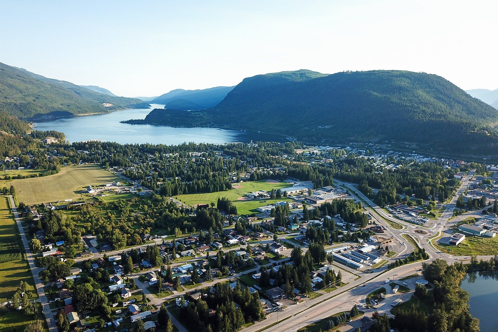
The typical 2026 single-family value in Sicamous is $514,000, up 2% from $503,000.
Sicamous sits at the short narrows where Mara Lake empties into Shuswap Lake. It has trademarked the name Houseboat Capital of Canada. Shuswap Lake has more than 1,000 km of shoreline, which is why a floating week here makes sense.
Summer is houseboat season, and boats book up early. Reserve well ahead. Start with the Explore Sicamous houseboating page for operators and prices.
The town is on the Trans-Canada at the Highway 97A junction.
21. Kaslo (Kootenay Lake)
Where: Village of Kaslo, Kootenay Lake
When: Ship opens in May; final boarding 4:15 p.m.
Cost: Check the historical society; members free
Getting there: Highway 31 north from Balfour and Nelson
Kaslo’s typical 2026 single-family value is $488,000, down slightly from $490,000.
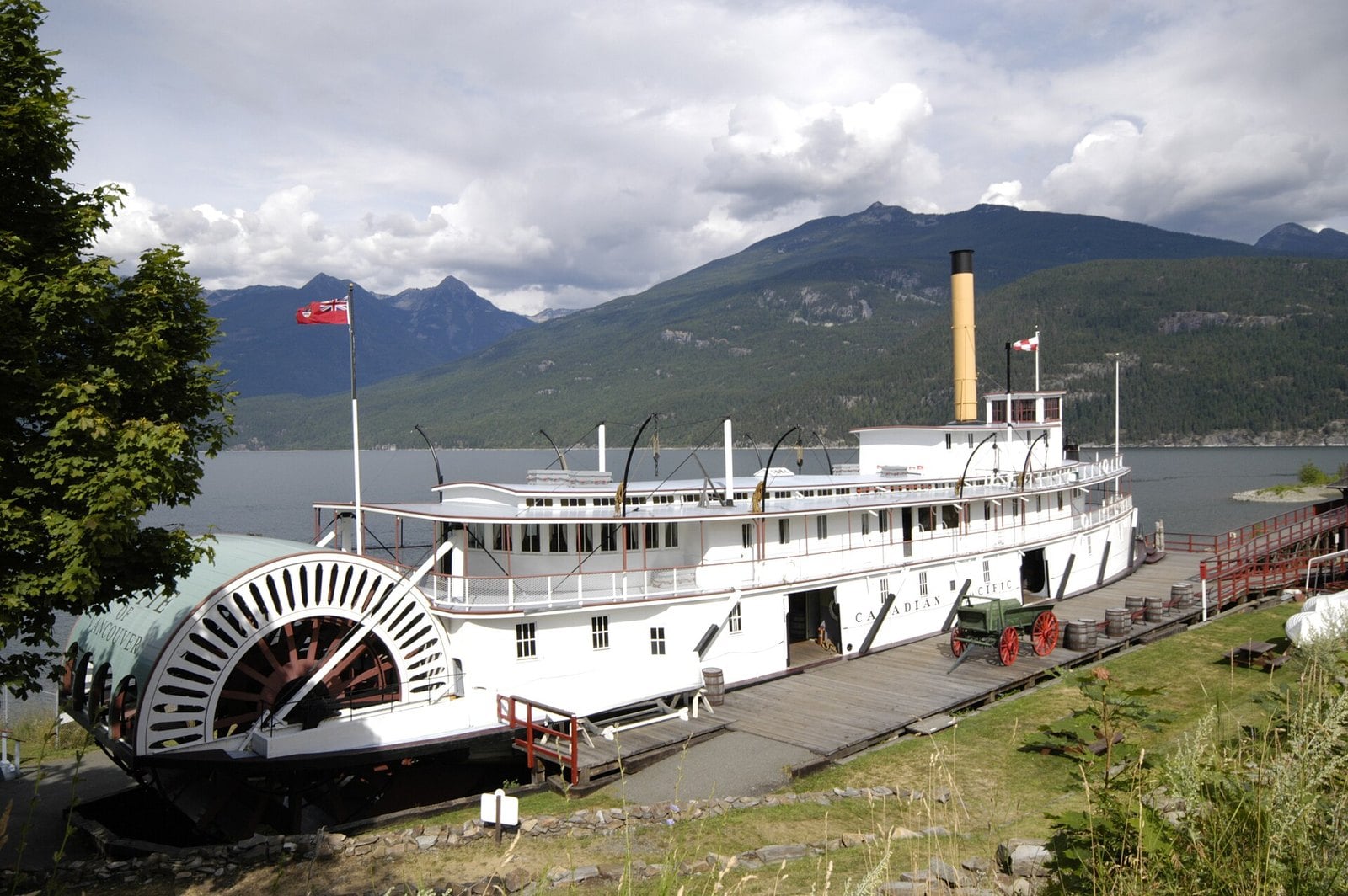
The town’s anchor is the S.S. Moyie. She was built at the Nelson shipyard in 1898 and launched on October 22. She worked Kootenay Lake for 59 years. The then-City of Kaslo bought her for $1.00. She’s now a National Historic Site sitting on the Kaslo waterfront.
The ship opens to the public in May and is closed for the season as of this writing. Final boarding is 4:15 p.m. daily. Members of the historical society get in free. Check the Kootenay Lake Historical Society for admission.
Kaslo is on the west shore of Kootenay Lake, north of Nelson; check DriveBC for the current route. In winter, walk the waterfront and see the Moyie from outside.
20. New Denver (Slocan Lake)
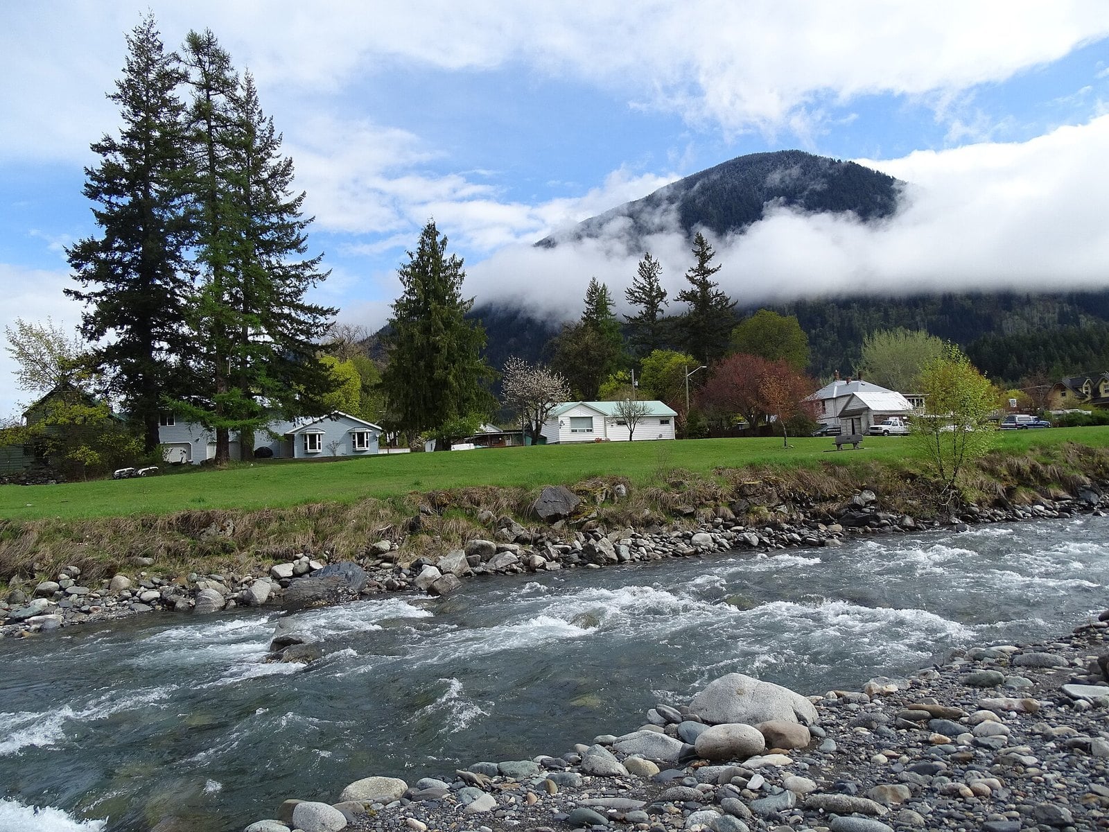
Where: Village of New Denver, east shore of Slocan Lake
When: Nikkei centre May 1 to September 30
Cost: $9 adult, $7 student or senior, $20 family
Getting there: Highway 6 between Nakusp and Slocan
New Denver’s typical 2026 single-family value is $409,000, up 2% from $401,000.
The Nikkei Internment Memorial Centre opened here in 1994, on the east shore of Slocan Lake. It’s a National Historic Site. It tells the story of more than 22,000 Japanese Canadians who were forcibly relocated during the Second World War. Give it time.
The centre is open May 1 to September 30. Admission is $9 for adults, $7 for students and seniors, and $20 for families.
Centennial Campground is right on the lakeshore. New Denver is on Highway 6 between Nakusp and Slocan. Check the village website for any current advisories about Valhalla Provincial Park before heading in.
19. Granisle (Babine Lake)
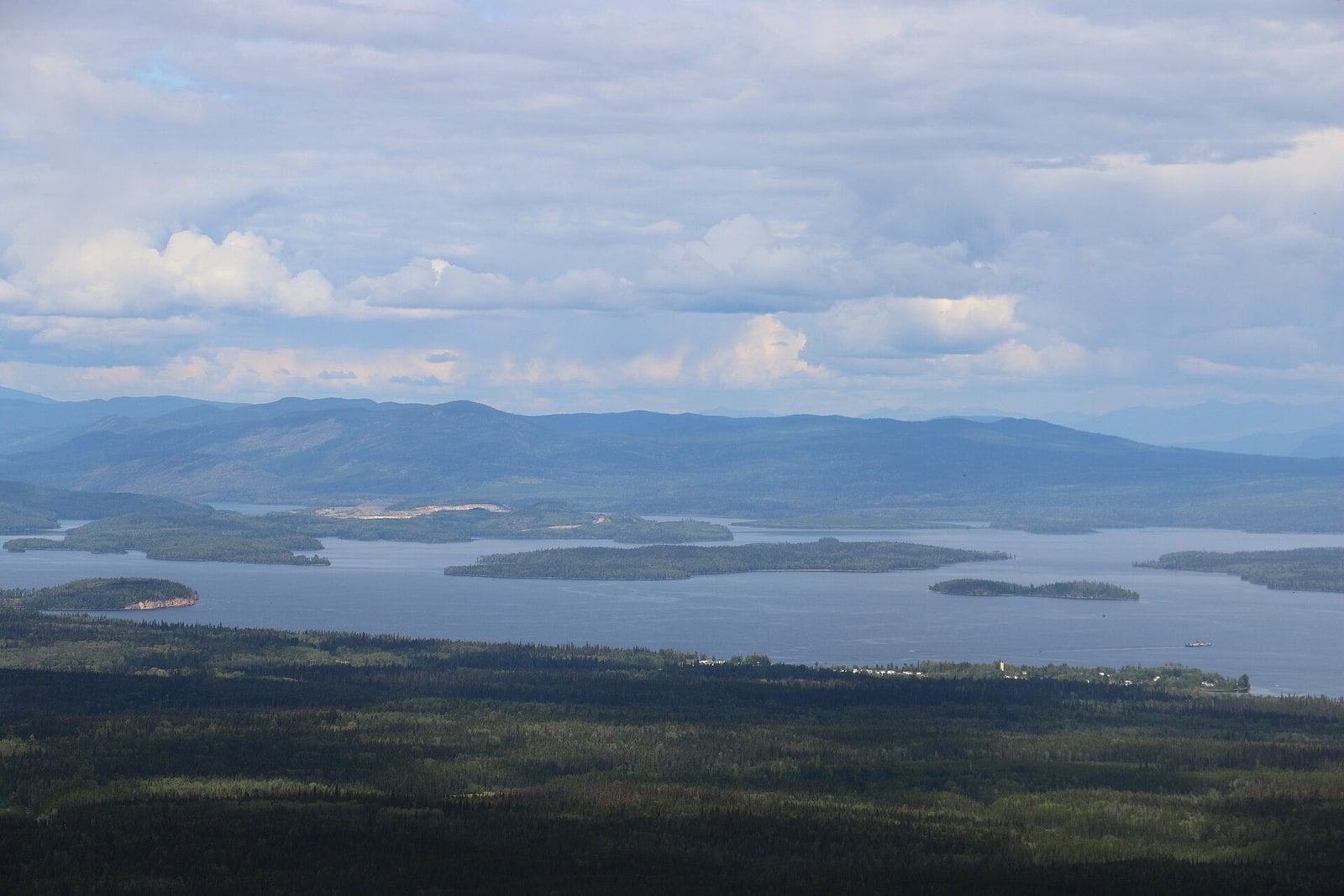
Where: Village of Granisle, Babine Lake
When: Summer for boating and fishing
Cost: Free to visit
Getting there: North off Highway 16 between Burns Lake and Houston; within 1.5 hours of Smithers airport
Granisle has the lowest value here. The typical 2026 single-family value is $113,000, up 12% from $102,000.
The village sits on Babine Lake. The regional district describes it as one of the world’s largest natural lakes. Summer is the season for boating and fishing.
It’s within an hour and a half of the Smithers airport. By road, you turn north off Highway 16 between Burns Lake and Houston. Confirm the route before you set out.
Granisle is small. Check what services are running before you arrive, and carry what you need.
18. Prince Rupert (North Coast)
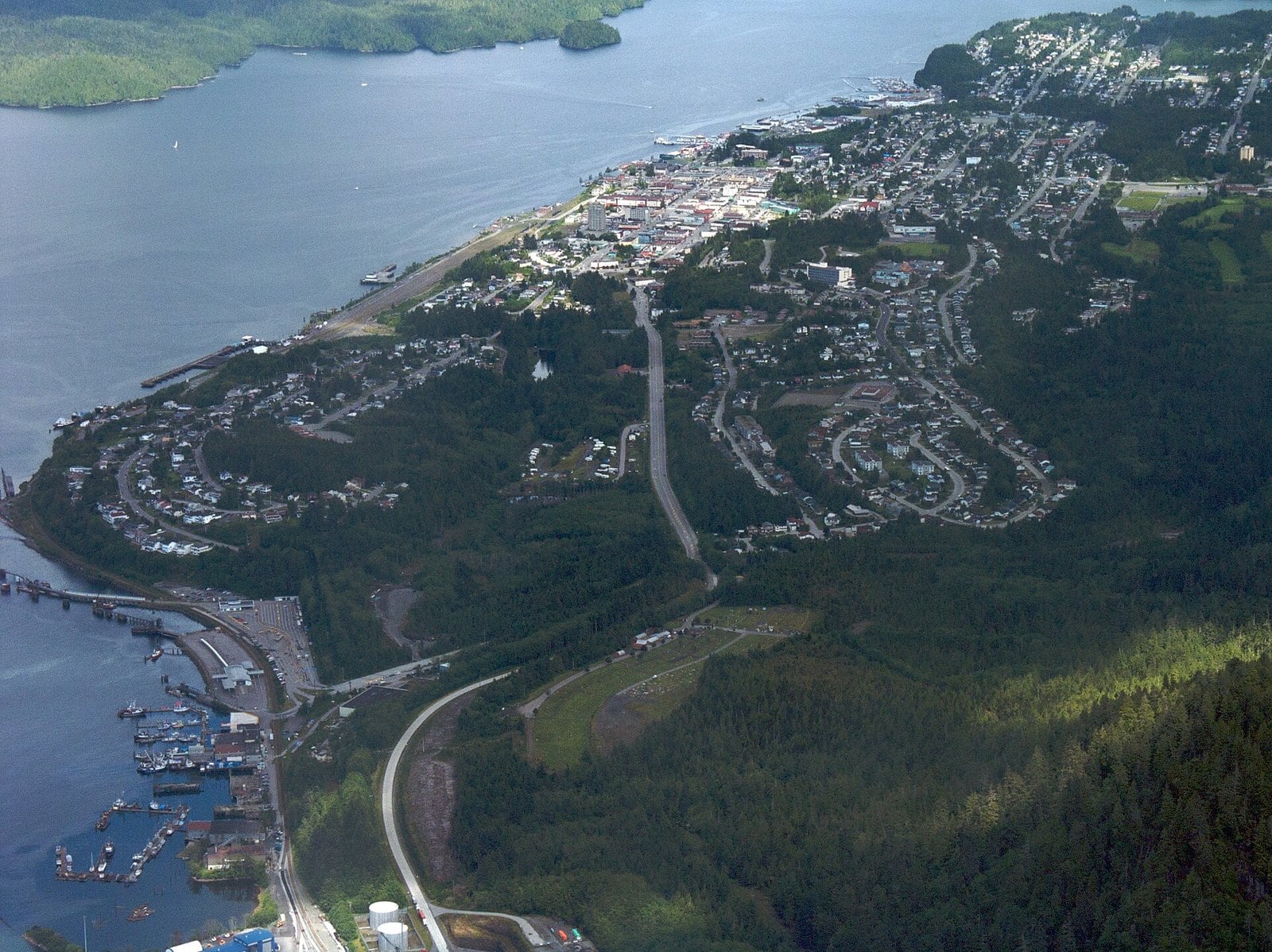
Where: City of Prince Rupert; cannery in Port Edward
When: Cannery May to September, 10 a.m. to 5 p.m. (daily in July and August; closed Mondays in May, June and September); check museum hours outside summer
Cost: Check the cannery for admission
Getting there: Inside Passage ferry from Port Hardy, Highway 16, or fly
Prince Rupert’s typical 2026 single-family value is $429,000, up 3% from $417,000.
The big draw is North Pacific Cannery National Historic Site in nearby Port Edward. It was built in 1889 and runs guided tours. It’s open May to September, 10 a.m. to 5 p.m., daily in July and August and Tuesday to Sunday in May, June and September. The cannery suggests allowing at least 2 to 3 hours.
Downtown, the Museum of Northern BC is built as a monumental Northwest Coast longhouse. Its exhibits cover thousands of years of local Indigenous history. The Kwinitsa Railway Station Museum sits in the waterfront park. Check each museum’s current hours before you go, especially outside summer.
You can arrive on the 16.5-hour Inside Passage sailing from Port Hardy, drive Highway 16 or fly.
17. Tahsis (Nootka Sound)
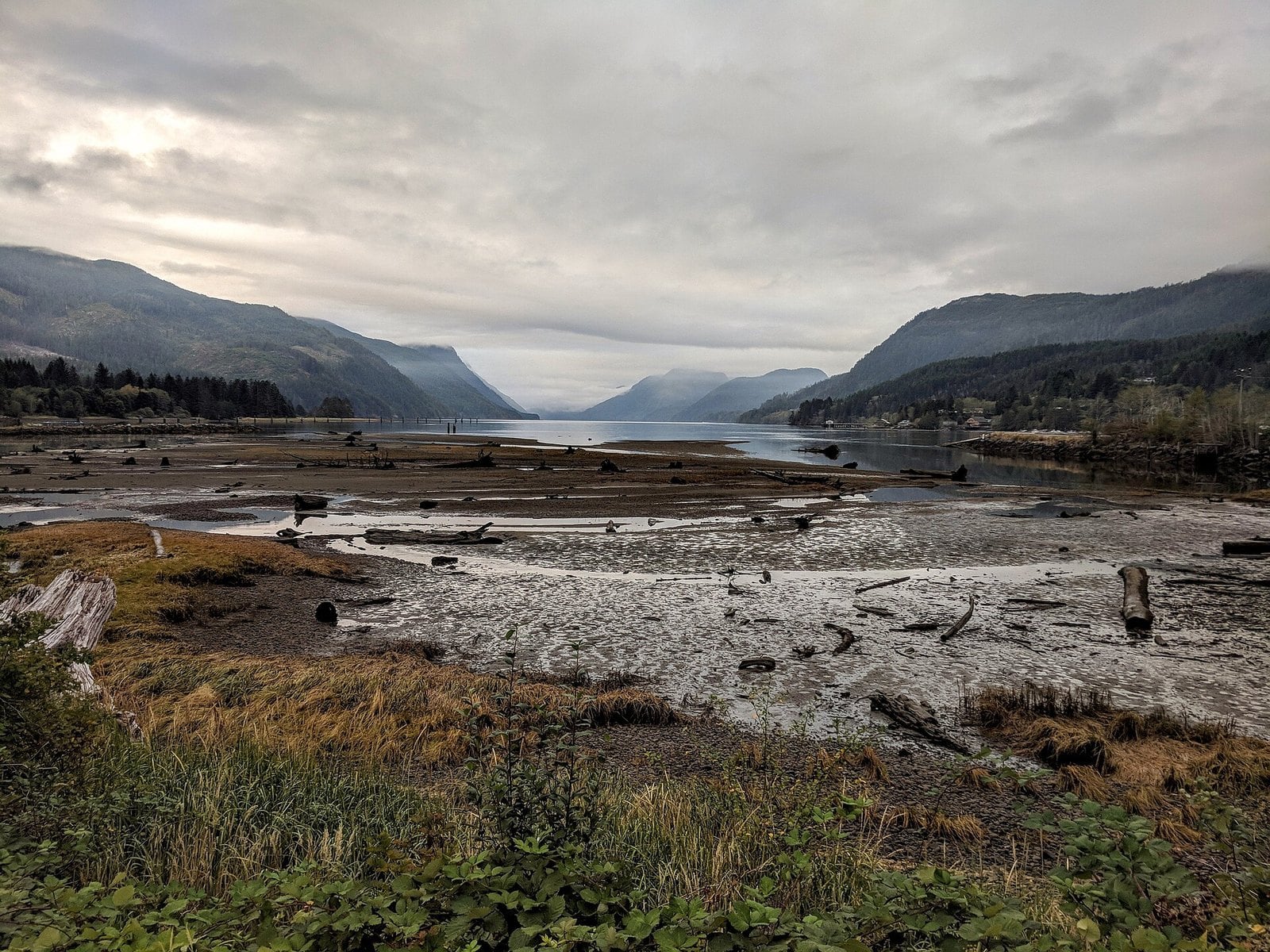
Where: Village of Tahsis, head of Tahsis Inlet, Nootka Sound
When: Best spring to fall
Cost: Free to visit
Getting there: Highway 28 to Gold River, then about 63.5 km of gravel (60 to 90 minutes)
The typical 2026 single-family value in Tahsis is $204,000, up 2% from $201,000.
Tahsis sits at the head of Tahsis Inlet, off Nootka Sound on the island’s west coast. Part of the price is the drive. You reach it on the “Tree to Sea” gravel road from Gold River.
Take Highway 28 from Campbell River to Gold River. Then comes about 63.5 km of gravel. The village’s route page says to allow 60 to 90 minutes for it, depending on conditions.
Spring to fall is the easier season, since winter snow can affect the road. Fill up before you leave Gold River. The gravel has steep grades, so check road conditions first.
16. Chase (Shuswap)
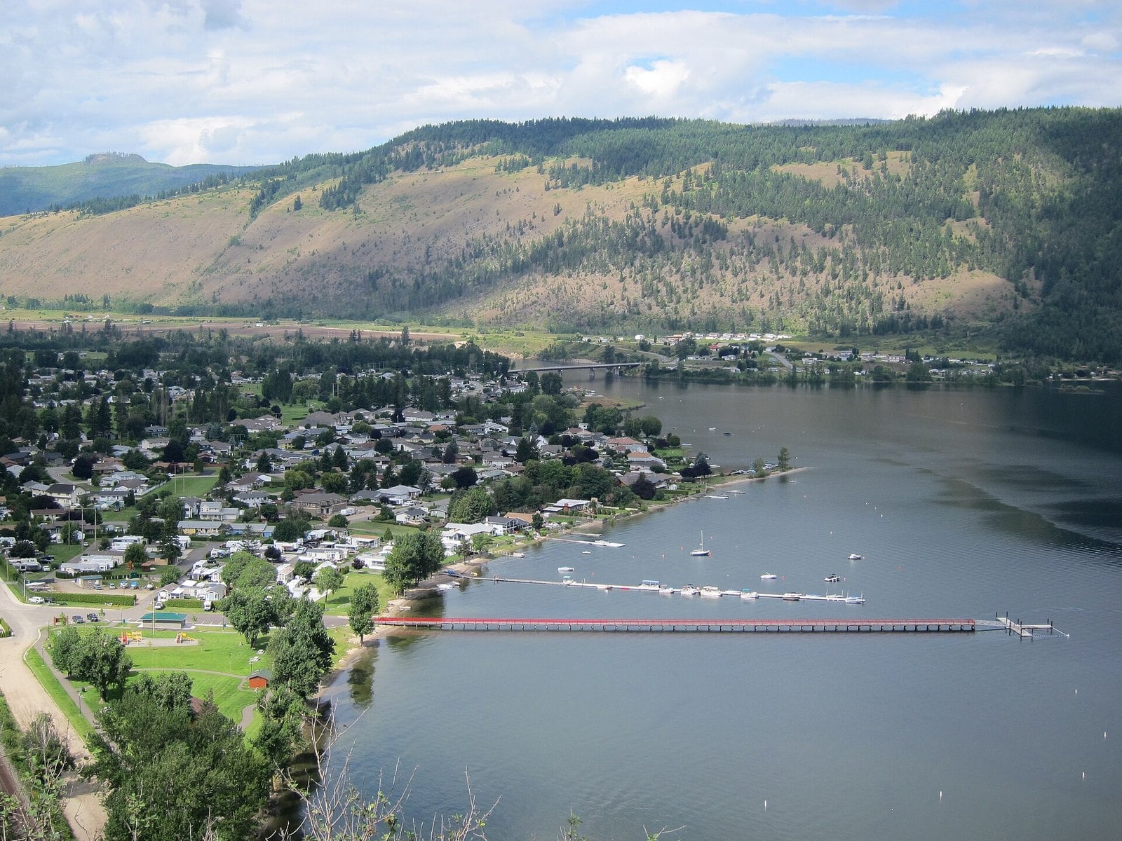
Where: Village of Chase, Little Shuswap Lake
When: Summer for the lake; fall for salmon viewing
Cost: Free to visit
Getting there: Trans-Canada east of Kamloops
The typical 2026 home value in Chase is $505,000, up 3% from $491,000. That was the biggest increase in the Shuswap.
Chase is a Trans-Canada village on Little Shuswap Lake, east of Kamloops. Summer is the time for the lake.
Fall brings salmon viewing nearby. Check BC Parks for viewing conditions before you go, since timing changes year to year.
15. Fort St. James (Stuart Lake)
Where: District of Fort St. James, Stuart Lake
When: Staffed season mid-May to early September (grounds open year-round for self-guided walks); dog sled races in winter; dog sled races in winter
Cost: Check Parks Canada for fees
Getting there: Highway 16 to Vanderhoof, then Highway 27 (about 45 minutes)
Fort St. James had one of the bigger jumps here. The typical 2026 single-family value is $244,000, up 14% from $214,000.
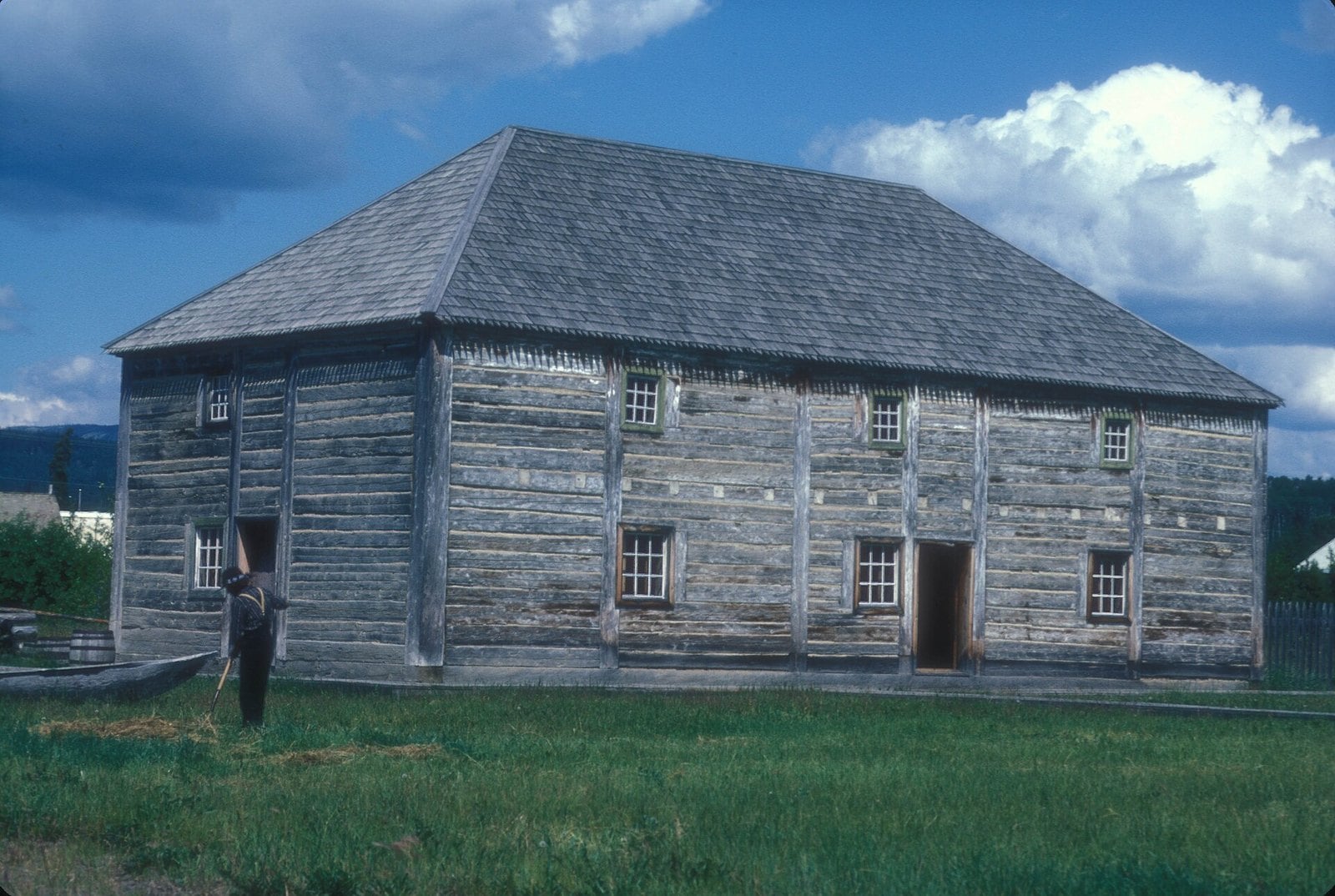
The town sits on Stuart Lake, which runs 80 km. Fort St. James National Historic Site has Canada’s largest collection of wooden buildings restored to the fur-trade era. It’s a working picture of how the inland trade ran.
The 2026 staffed season ran May 16 to September 8, daily, 9 a.m. to 5 p.m. The grounds stay open year-round for self-guided walks, and interpretive tours are available by appointment. 2027 dates aren’t posted yet, so check Parks Canada in spring. In winter, the town has held the Caledonia Classic Dog Sled Races and WinterFest in January or February.
Take Highway 16 to Vanderhoof, then turn right on Highway 27 for about 45 minutes. The site is 164 km northwest of Prince George.
14. Slocan (Slocan Lake)
Where: Village of Slocan, south end of Slocan Lake
When: Summer for the beach; spring and fall for the trail
Cost: Free
Getting there: Highway 6 in the Slocan Valley
Slocan’s typical 2026 single-family value rose 1% to $407,000.
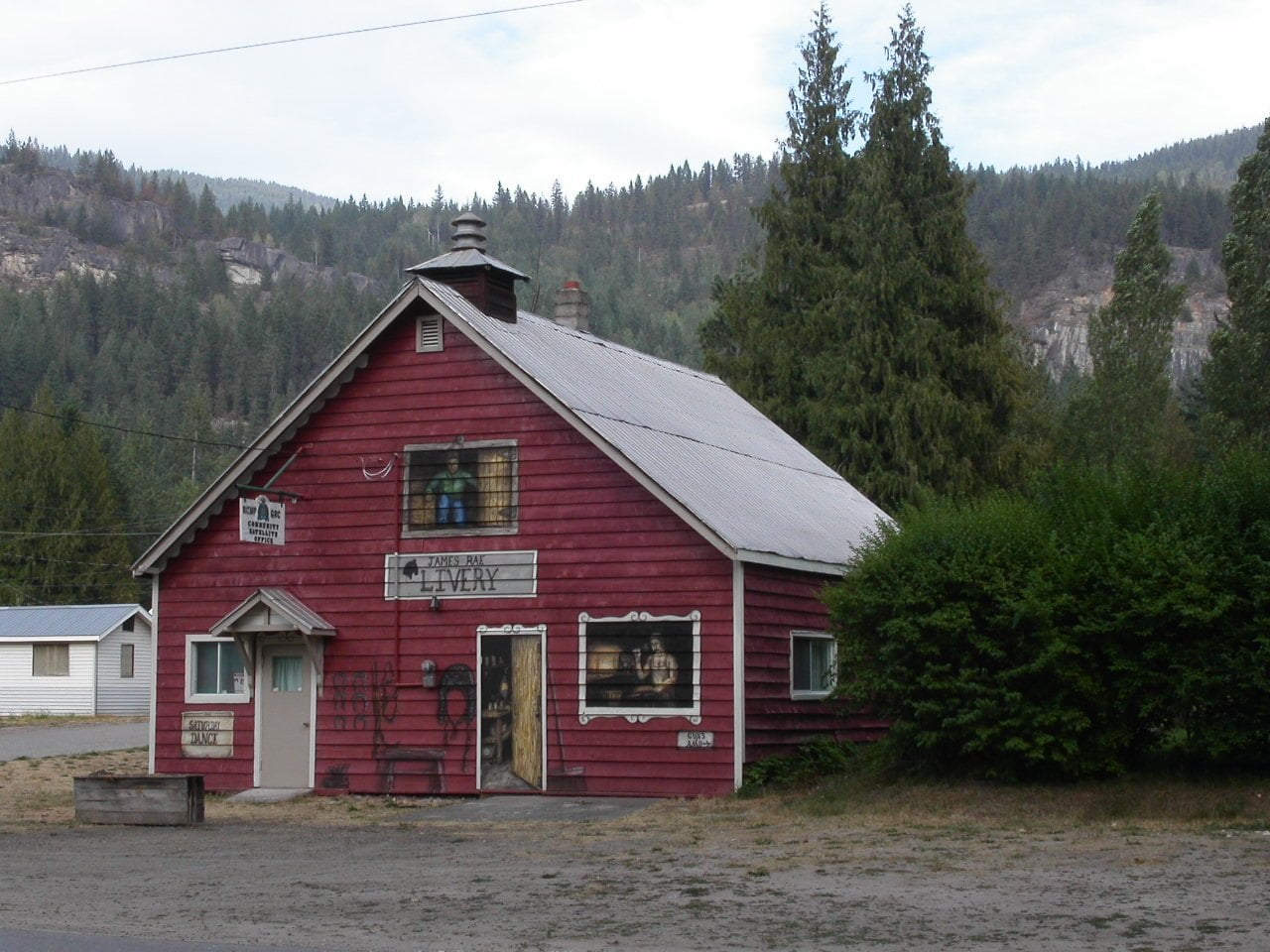
The village sits at the south end of Slocan Lake. Its waterfront has a park, a sandy beach and a boat launch. It’s also the trailhead for the Rails to Trails path along the Slocan River. Summer is beach season, and spring and fall suit the trail.
Slocan is a gateway to Valhalla Provincial Park. Check current park advisories before heading in.
The village is on Highway 6 in the Slocan Valley.
13. Daajing Giids (Haida Gwaii)
Where: Village of Daajing Giids, Graham Island, Haida Gwaii
When: Year-round; most services in summer
Cost: Free to visit
Getting there: BC Ferries from Prince Rupert to Skidegate, or fly
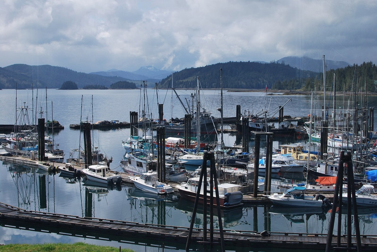
The typical 2026 single-family value in the village of Daajing Giids is $428,000, up 8% from $396,000. BC Assessment also publishes a separate, lower line for the wider Queen Charlotte area. The village figure is the one used here.
Until 2022 this was the Village of Queen Charlotte. On July 13, 2022, the province confirmed the restored ancestral Haida name, effective immediately. It’s pronounced “daw-jean geeds,” according to The Northern View.
Getting there means the BC Ferries crossing from Prince Rupert to Skidegate, or a flight. The village is year-round, but summer has the most services. Plan your bookings around that.
12. Williams Lake (Cariboo)
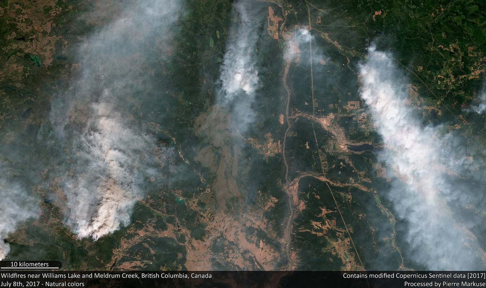
Where: City of Williams Lake, Cariboo
When: Year-round; programs May to September
Cost: Free to walk
Getting there: Highway 97 north through the Cariboo
The typical 2026 single-family value in Williams Lake is $440,000, up 5% from $419,000.
Scout Island is the town’s lakefront. It sits at the west end of the lake and is made of two islands joined to the mainland by a causeway. There’s a beach, a picnic area, a boat launch and nature trails. The Nature Centre covers marsh, island and lake habitat and is a designated provincial wildlife viewing area.
The trails are open every day from dawn until dusk. Interpretive programs run May to September.
Williams Lake is on Highway 97 through the Cariboo. Scout Island is right in town, which makes it an easy stop on a long Highway 97 drive.
11. Kitimat (Douglas Channel)
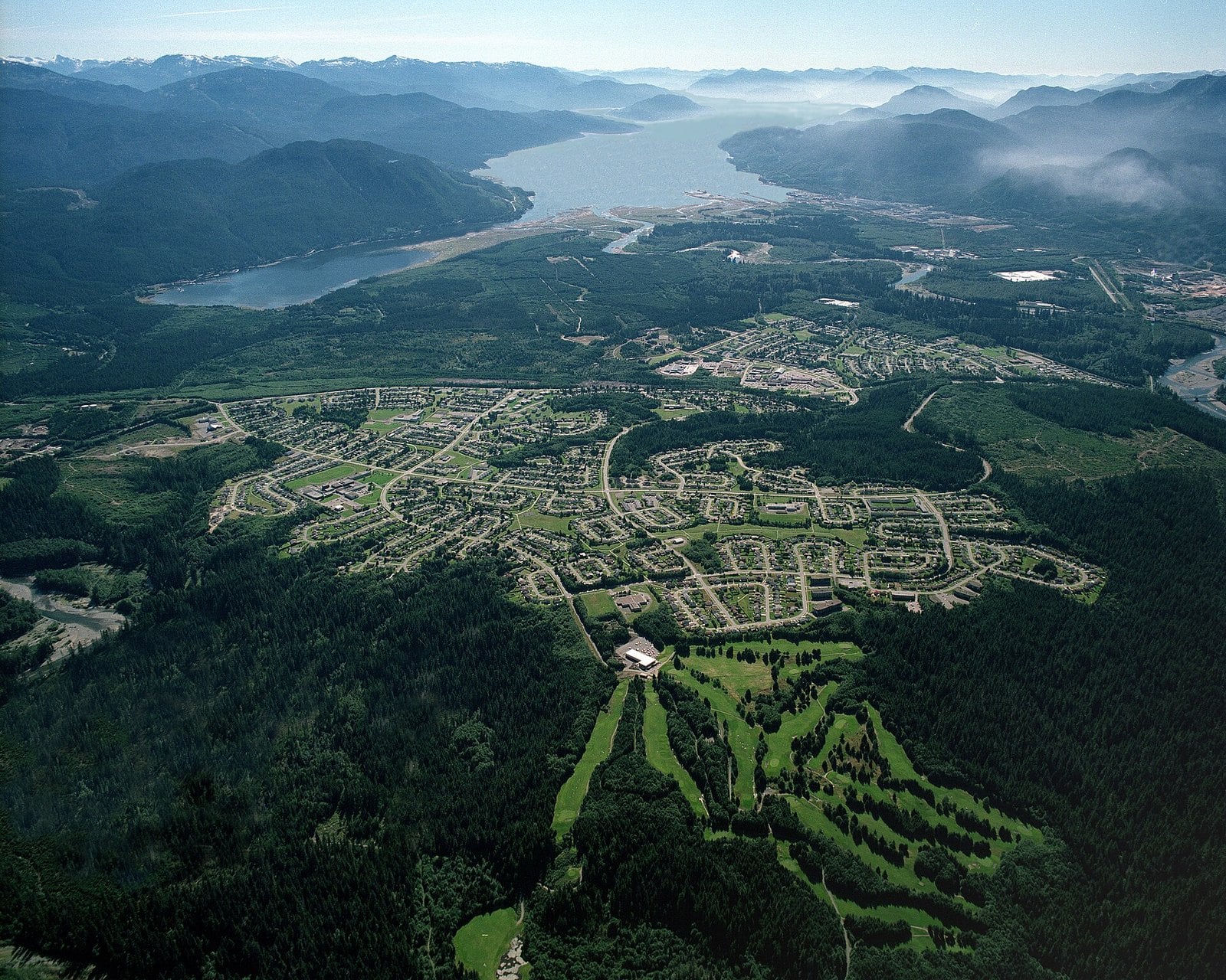
Where: District of Kitimat, head of the Douglas Channel
When: Year-round; summer on the water
Cost: Parks are free
Getting there: Highway 37 south from Terrace (Highway 16)
The typical 2026 single-family value in Kitimat is $364,000, up 6% from $344,000. BC Assessment publishes a separate, lower strata (condo and townhouse) figure for Kitimat, so don’t mix the two up.
Kitimat sits at the head of the Douglas Channel, a saltwater fjord. For the view, head to the top of Haisla Boulevard. The viewpoint is on your left and looks straight down the channel.
Giant Spruce Park holds what’s left of a Sitka spruce once registered as BC’s largest living one. It measures 11.2 m around and once stood 50.32 m tall. The Kitimat visitor site covers it and the town’s other parks.
Take Highway 16 to Terrace, then Highway 37 south. The parks are open year-round, and summer is the best time on the water.
10. Port Alice (Neroutsos Inlet)
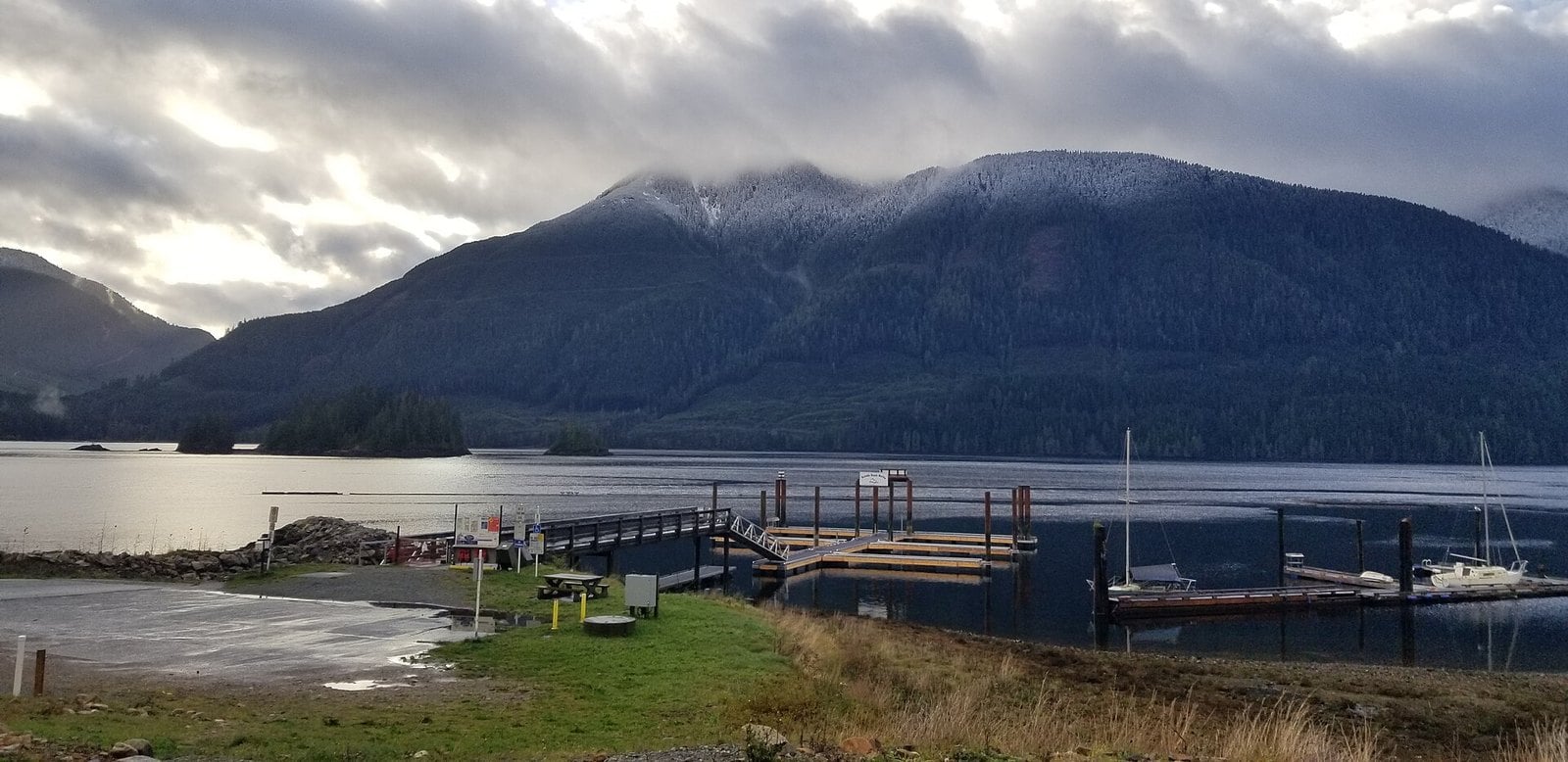
Where: Village of Port Alice, Neroutsos Inlet (Quatsino Sound)
When: Year-round; low tide for Walk-out Island
Cost: Seawalk is free
Getting there: Turn off Highway 19 near Port McNeill and Port Hardy
Port Alice’s typical 2026 single-family value is $335,000, almost unchanged from $334,000.
The village is built on a mountainside above Neroutsos Inlet, off Quatsino Sound. Along the shore runs the Seawalk, a wheelchair-accessible path. At low tide you can walk out to Walk-out Island.
Rumble Beach Marina, run by the village, offers moorage for boats up to 100 feet, and the marina manager is on site June through September. Boaters can use it as a base for the inlet.
Turn off Highway 19 near Port McNeill and Port Hardy to get there. Check a tide table before you go if you want to reach the island.
9. Silverton (Slocan Lake)
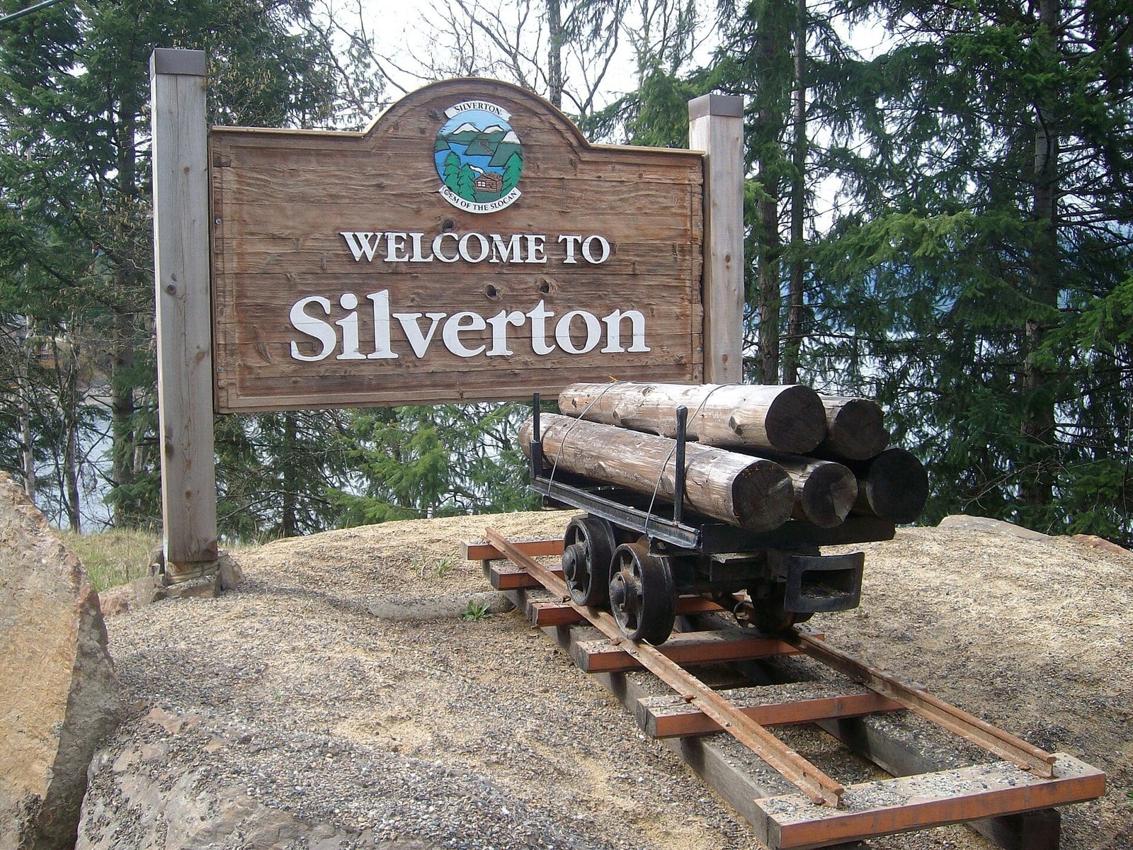
Where: Village of Silverton, east shore of Slocan Lake
When: Year-round
Cost: Outdoor mining museum is free
Getting there: Highway 6, just south of New Denver
The typical 2026 single-family value in Silverton is $443,000, up 3% from $429,000.
Silverton and New Denver are paired villages on the east shore of Slocan Lake. The Outdoor Mining Museum is on Highway 6, outside the Slocan Lake Arts Centre. Historic mining equipment is on display outdoors; no admission is listed.
Silverton is just south of New Denver on Highway 6. It’s an easy add-on to a New Denver visit any time of year. Arrow Slocan Tourism has more on the valley’s heritage stops.
8. Port McNeill (North Vancouver Island)
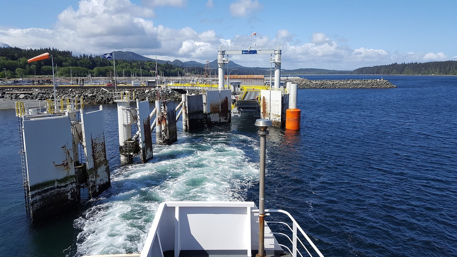
Where: Town of Port McNeill, North Vancouver Island
When: Year-round; visitor centre daily May 1 to August 31, Monday to Saturday in winter
Cost: The burl is an outdoor display next to the community hall; no admission is listed
Getting there: BC Ferries to Nanaimo, then Highway 19 north
The typical 2026 single-family value in Port McNeill is $434,000, down 2% from $442,000.
Port McNeill started as a logging base camp, and it still shows. Next to the community hall sits a burl billed as the world’s largest. It weighs 24 tons and is estimated to be more than 525 years old.
The town’s ferry terminal serves Alert Bay and Sointula. That makes Port McNeill a practical base for island day trips. Alert Bay, also on this list, is easiest as a walk-on.
Drive up from Nanaimo on Highway 19. The visitor centre is open daily from May 1 to August 31, 9 a.m. to 5 p.m., and Monday to Saturday, 9 a.m. to 4:30 p.m., from September 1 to April 30 (closed noon to 1 p.m. and on statutory holidays).
7. Fraser Lake (Highway 16)
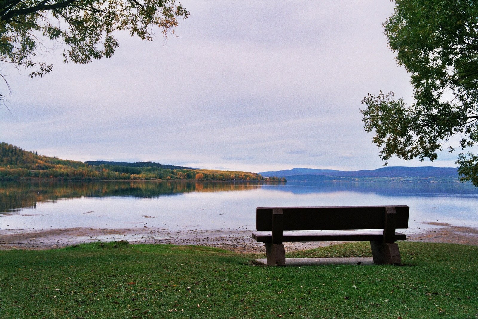
Where: Village of Fraser Lake, Highway 16
When: Swans in winter and early spring; beaches in summer
Cost: Beaches are free
Getting there: Highway 16 west of Prince George
The typical 2026 single-family value in Fraser Lake is $206,000, up 4% from $199,000.
The regional district says the area’s 170 lakes host more than 1,000 trumpeter swans. That’s how Fraser Lake came to call itself the Swan Capital of the World. The village says to watch for the swans on the Nautley River and between the Stellako River and Fraser Lake. The bridge west of Fraser Lake is a good place to see them.
In summer the draw is the water itself. The lake has three sandy beaches and nearly 20 km of shoreline, according to the village.
Beaumont Provincial Park sits on the original site of Fort Fraser, founded by Simon Fraser in 1806. The village is on Highway 16 west of Prince George.
6. Masset (Haida Gwaii)
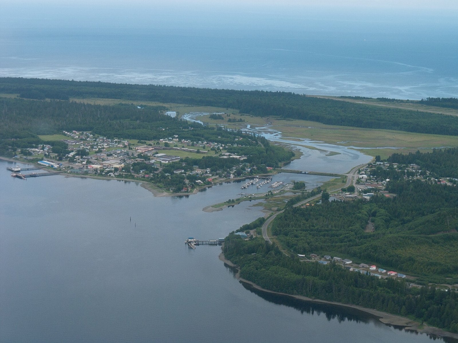
Where: Village of Masset, north Graham Island, Haida Gwaii
When: Spring and fall migration; nature centre late May to late September
Cost: Sanctuary trails are free
Getting there: Ferry to Skidegate, then Highway 16 north
Masset’s typical 2026 single-family value is $251,000, up 8% from $232,000.
Right inside the village is the Delkatla Wildlife Sanctuary, a 290-hectare intertidal wetland. It’s on the offshore Pacific Flyway, and up to 140 bird species have been recorded there. There are viewing towers and trails, which the village describes as readily accessible.
Spring and fall migration are the best times for birds. The Delkatla Nature Centre is usually open from late May to late September.
Naikoon Provincial Park starts 10 km east of town, with hundreds of kilometres of trails. It includes a boardwalk trail built for people with mobility issues. To get to Masset, take the ferry to Skidegate and drive Highway 16 north.
5. Port Hardy (northern Vancouver Island)
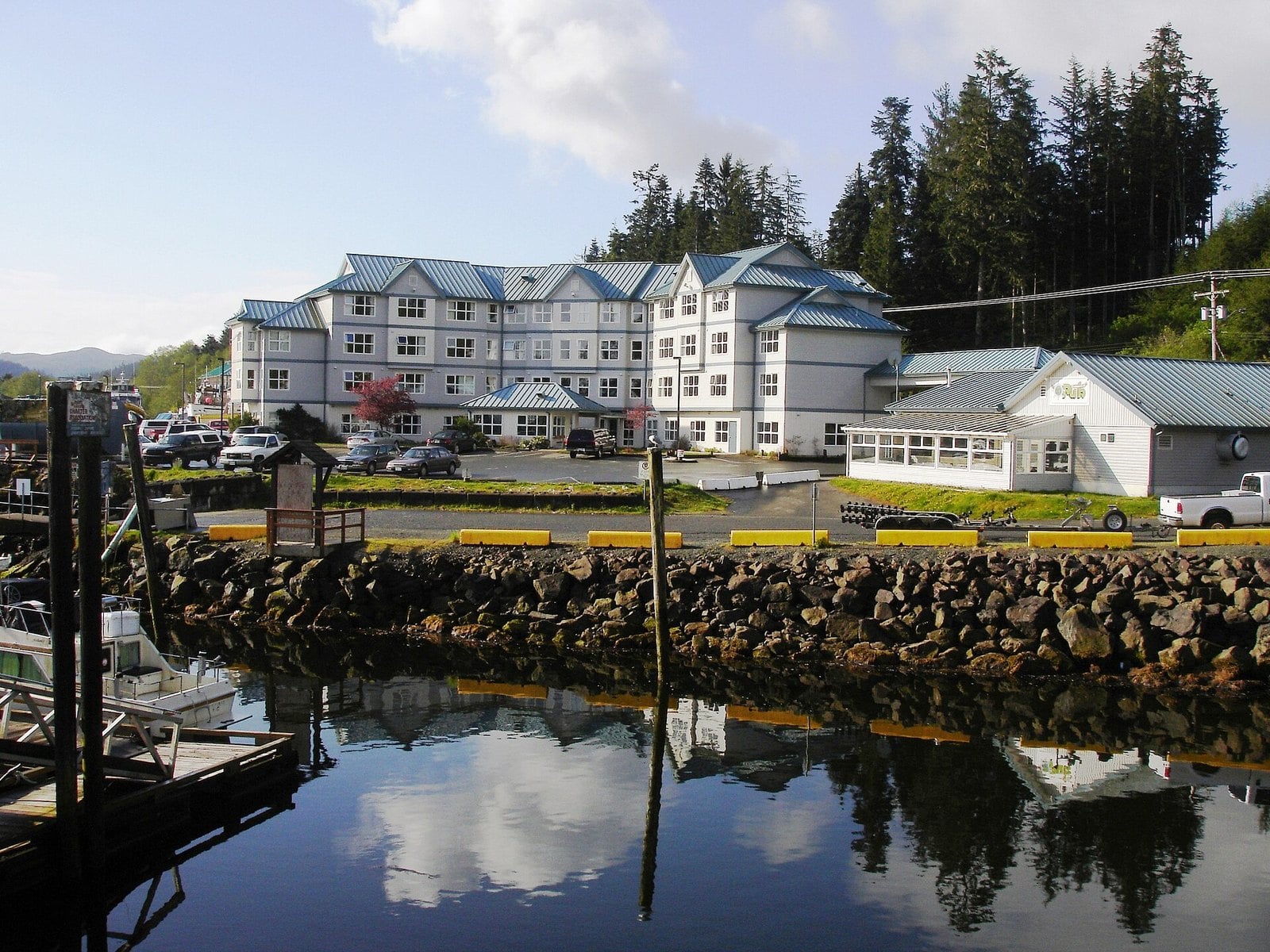
Where: District of Port Hardy, northern tip of Vancouver Island
When: Year-round; the Inside Passage sailing is 16.5 hours
Cost: Seawall is free
Getting there: BC Ferries to Nanaimo, then Highway 19 to the end of the road
The typical 2026 single-family value in Port Hardy is $370,000, up 3% from $360,000.
Highway 19 ends here. The Hardy Bay Seawall starts at the downtown visitor centre at 7250 Market St. It’s an easy stroll past the Japanese Gardens and totem poles, and it’s free.
Port Hardy is the gateway to Cape Scott Provincial Park. It’s also where the Inside Passage sailing to Prince Rupert begins. That trip takes 16.5 hours. Details are on the BC Ferries Inside Passage page.
If you’re driving up for the ferry, stay the night before. Walk the seawall in the evening and you’ll start the sailing rested.
4. Powell River (upper Sunshine Coast)
Where: City of Powell River, upper Sunshine Coast (qathet)
When: Year-round
Cost: Beach and Townsite walks are free
Getting there: Horseshoe Bay to Langdale ferry, Highway 101 to Earls Cove, 50-minute crossing to Saltery Bay, then 30 minutes by car
The typical 2026 single-family value in Powell River is $580,000, up 1% from $575,000. That makes it the most expensive town here. It’s also the closest to Vancouver, which helps explain why.
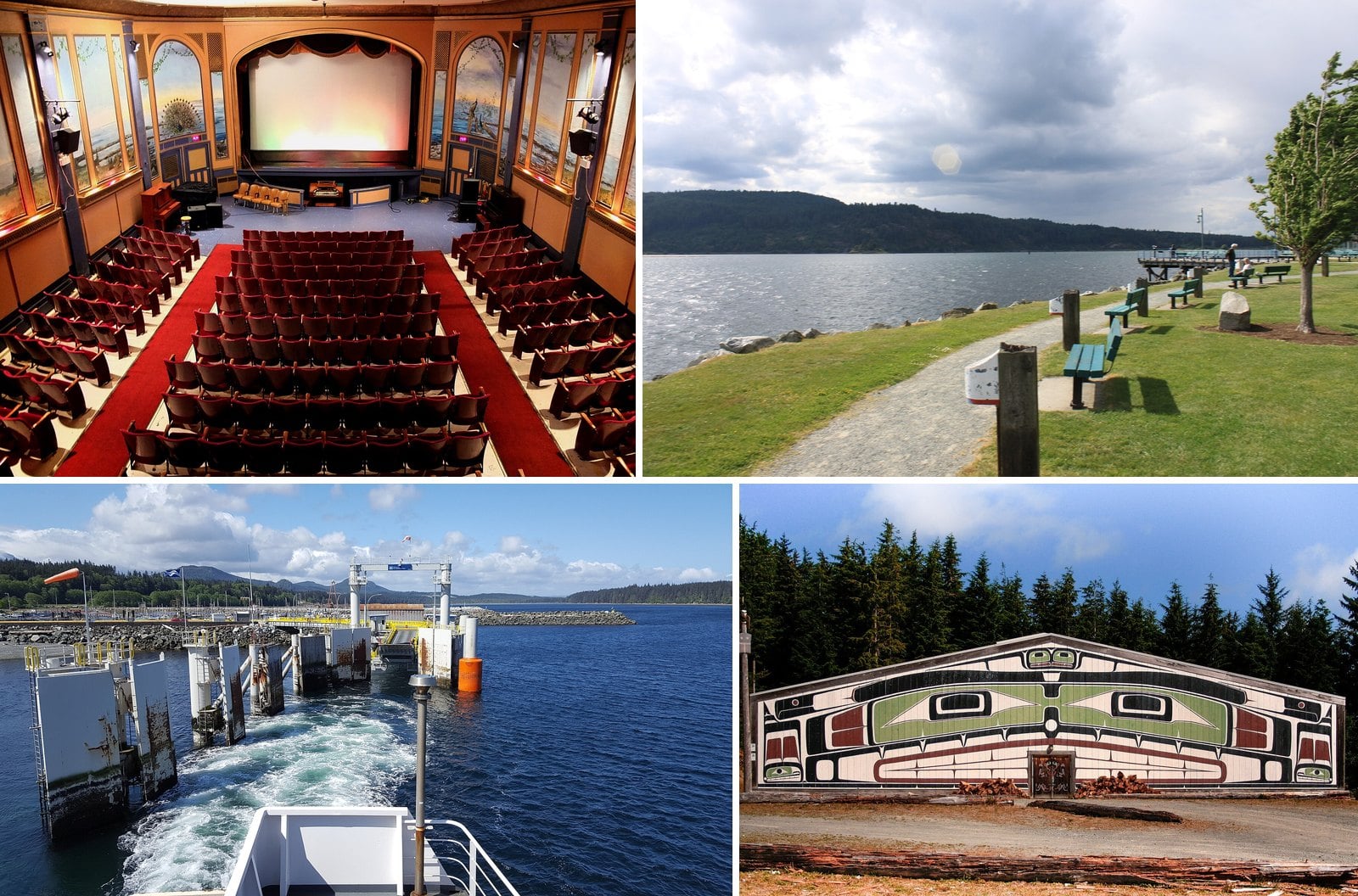
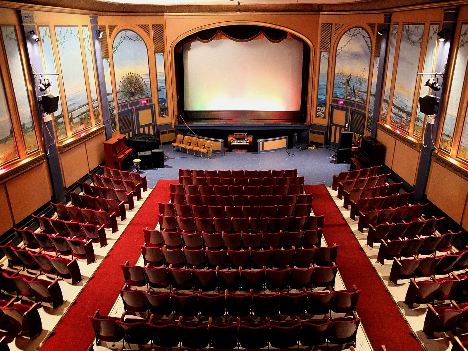
Willingdon Beach is the town’s best-known shoreline walk. It’s free and it works in any season. Up in the historic Townsite, the Patricia Theatre still shows movies. The current building dates to 1928. The Townsite Heritage Society calls it the oldest operating movie theatre in BC.
Getting there takes two ferries. Start with Horseshoe Bay to Langdale, then drive Highway 101 to Earls Cove, about 1 hour 20 minutes from Langdale. The crossing to Saltery Bay takes 50 minutes. From the Saltery Bay terminal it’s a 30-minute drive into the city.
Boarding at Saltery Bay is first come, first served. Leave extra time for the trip home. The BC Ferries terminal page has the details.
3. Port Alberni (central Vancouver Island)
Where: City of Port Alberni, head of the Alberni Inlet
When: Year-round; Frances Barkley sails Tuesday, Thursday and Saturday at 8 a.m.
Cost: Fares through Lady Rose Marine Services
Getting there: BC Ferries to Nanaimo, then Highway 4 west
Port Alberni’s typical 2026 single-family value is $485,000, down 3% from $500,000. It was one of the few towns here to drop.
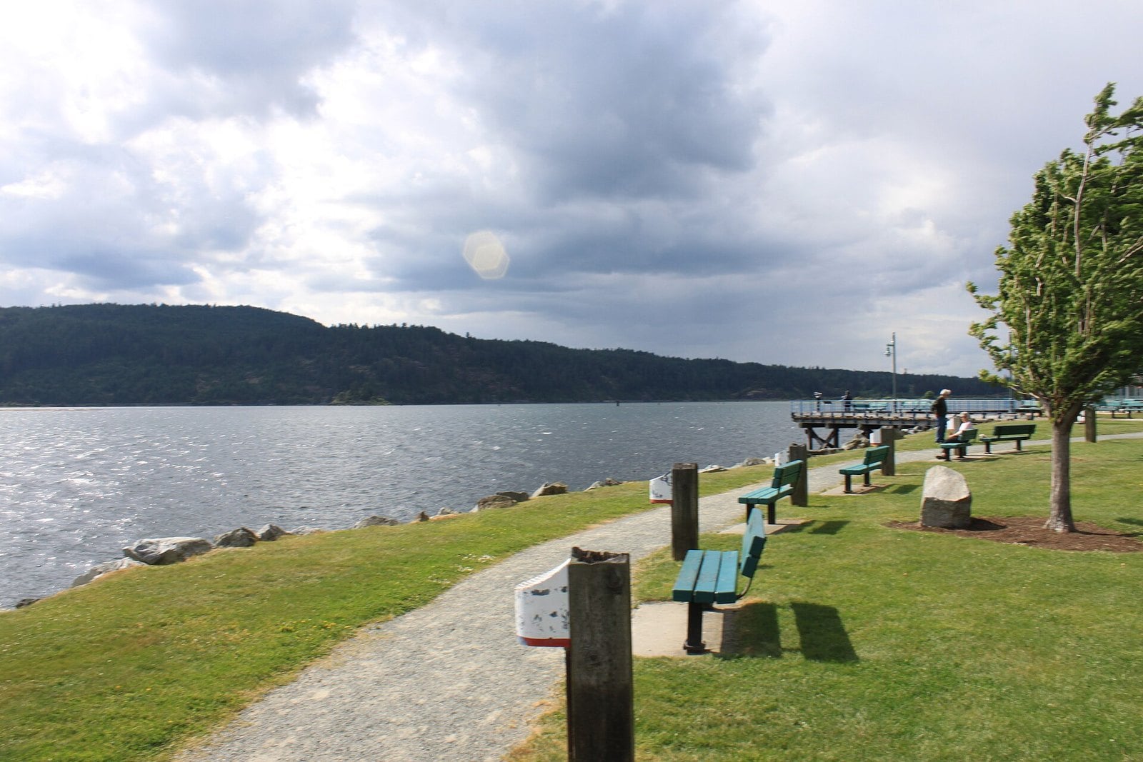
The city sits at the head of the Alberni Inlet. The inlet runs about 60 km southwest and is the longest on Vancouver Island. The way to see it is from the deck of the MV Frances Barkley. She’s a working packet freighter, carrying passengers and freight down the inlet to Bamfield year-round.
The ship sails Tuesday, Thursday and Saturday, leaving Port Alberni at 8 a.m. sharp. Reservations are highly recommended by the operator. From October 1 to May 1, the ship leaves Bamfield as soon as freight is unloaded, so expect little or no time ashore. Book through Lady Rose Marine Services; check the operator’s own website (ladyrosemarine.com) for current fares.
To drive in, take BC Ferries to Nanaimo and follow Highway 4 west. If you’re catching the 8 a.m. sailing, stay in town the night before.
2. Alert Bay (Cormorant Island)
Where: Village of Alert Bay, Cormorant Island
When: U’mista: Monday to Friday, 9 a.m. to 5 p.m.
Cost: Check U’mista for admission
Getting there: BC Ferries from Port McNeill; walk on
Alert Bay’s typical 2026 single-family value is $320,000, up 7% from $300,000. That was the biggest increase of any Vancouver Island community this year.
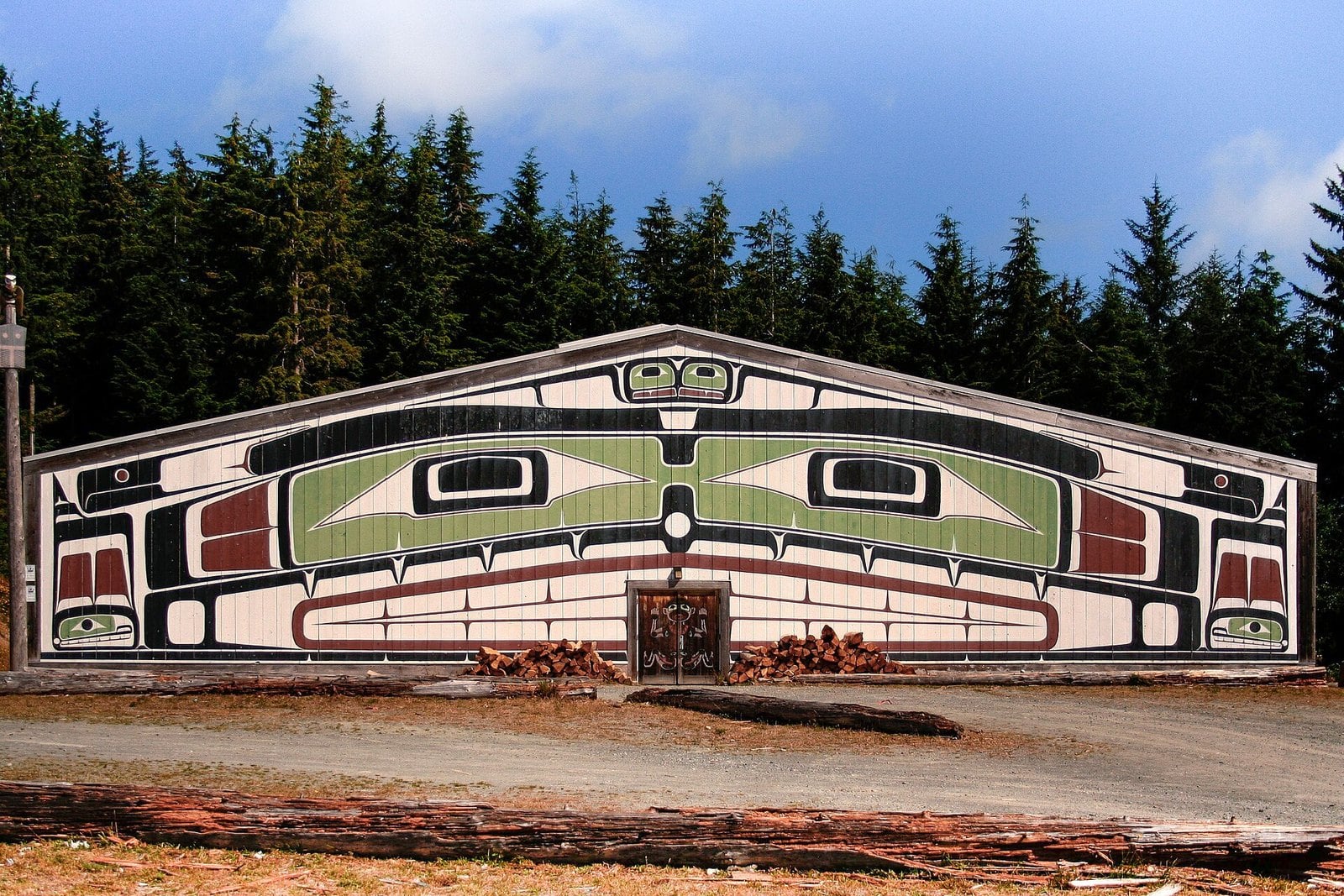
The reason to go is the U’mista Cultural Centre. It opened on November 1, 1980. Its permanent exhibit is the Potlatch Collection of Kwakwaka’wakw regalia. The pieces were confiscated under the potlatch ban and later returned. Seeing them back in the community they were taken from is the point of the visit.
U’mista lists its hours as Monday to Friday, 9 a.m. to 5 p.m. Weekend hours aren’t listed, so check umista.ca before you go. Ask about admission before you go.
The village is reached by BC Ferries from Port McNeill. Going as a walk-on is the easy option.
1. Nakusp (Upper Arrow Lake)
Where: Village of Nakusp, Upper Arrow Lake
When: Winter hours Sunday to Thursday 9:30 a.m. to 8 p.m., Friday and Saturday 9:30 a.m. to 9 p.m.
Cost: Check the hot springs for admission
Getting there: Highway 6 or Highway 23
The typical 2026 single-family value in Nakusp is $438,000, up 5% from $419,000. That was the biggest rise in the West Kootenay and Boundary.
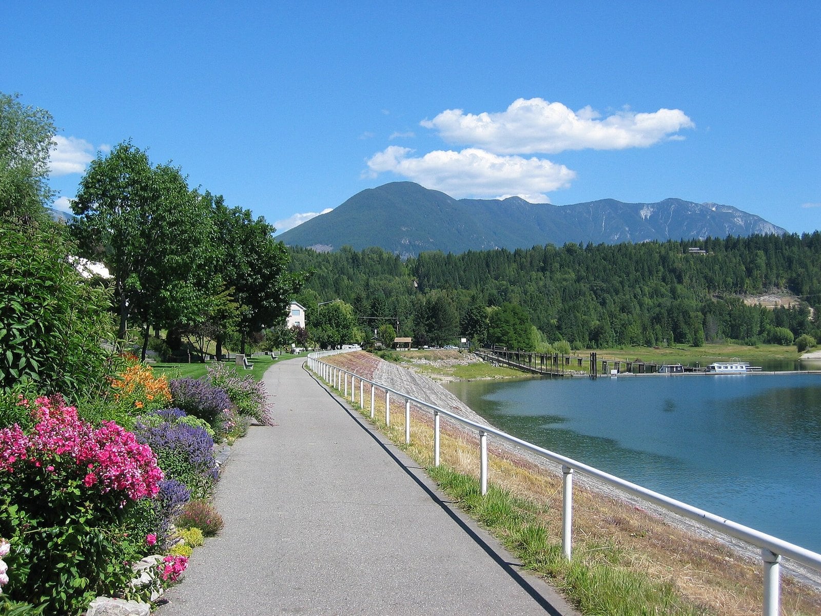
The village sits on Upper Arrow Lake in the Arrow Lakes valley. The other reason people come is Nakusp Hot Springs.
The hot springs are on winter hours, posted as starting October 23, 2026. That means Sunday to Thursday, 9:30 a.m. to 8 p.m., and Friday and Saturday, 9:30 a.m. to 9 p.m. Last entry is 30 minutes before closing, and no reservations are needed. The hot springs close for spring maintenance from April 19 to May 7, 2027, reopening May 8. Check nakusphotsprings.com for admission.
Reach Nakusp on Highway 6 or Highway 23.
| 2025 | 2026 | Town | Change |
|---|---|---|---|
| 214000 | 244000 | Fort St. James | +14% |
| 102000 | 113000 | Granisle | +12% |
| 232000 | 251000 | Masset | +8% |
| 396000 | 428000 | Daajing Giids | +8% |
| 300000 | 320000 | Alert Bay | +7% |
| 344000 | 364000 | Kitimat | +6% |
| 500000 | 485000 | Port Alberni | -3% |
| 442000 | 434000 | Port McNeill | -2% |
How to read these numbers
- These are 2026 assessments based on market value on July 1, 2025.
- “Typical” means the median single-family value.
- They are not sale prices or listing prices.
- Strata (condo/townhouse) figures are published separately from single-family values.
The full regional releases are on the BC Assessment news page. The chart below shows waterfront towns that landed over $600,000.
When to go
Most of the seasonal sites here run May to September. Plan a summer trip and you’ll catch nearly all of them.
- S.S. Moyie, Kaslo: opens in May.
- Nikkei Internment Memorial Centre, New Denver: May 1 to September 30.
- Fort St. James National Historic Site: staffed May 16 to September 8 in 2026; grounds open year-round for self-guided walks. 2027 dates aren’t posted yet.
- North Pacific Cannery, Port Edward: May to September, 10 a.m. to 5 p.m. (closed Mondays in May, June and September).
- Fish Creek bears, Hyder, Alaska (via Stewart): July to September; ticket required July 15 to September 20.
- Scout Island programs, Williams Lake: May to September.
- Nakusp Hot Springs: on winter hours, with a spring maintenance closure.
- Fraser Lake swans: winter and early spring.
Ferries and boats
- Earls Cove to Saltery Bay: 50 minutes.
- Inside Passage, Port Hardy to Prince Rupert: 16.5 hours, a daytime sailing in summer.
- MV Frances Barkley, Port Alberni to Bamfield: Tuesday, Thursday and Saturday, year-round, leaving at 8 a.m. Reservations are highly recommended.
- Port McNeill: BC Ferries to Alert Bay and Sointula.
- Prince Rupert to Skidegate: BC Ferries to Haida Gwaii.
Check schedules on bcferries.com before you build a trip around a sailing.
Roads and safety
- The Gold River to Tahsis gravel road takes 60 to 90 minutes. Start with a full tank and check conditions first.
- Head Bay Road toward the Nootka Sound resorts has grades of 15% and 18%, per Nootka Marine Adventures.
- The Salmon Glacier viewpoint road from Stewart runs through Hyder, Alaska, so you cross the border. Check border requirements with the Stewart Visitor Centre.
- Stay off glaciers and out of avalanche terrain. Enjoy them from the viewpoints.
- New Denver asks visitors to check before entering Valhalla Provincial Park, which has a posted advisory. See the village’s campground page.
What to bring
- A tide table for Port Alice if you plan to explore the shoreline along the Seawalk at low tide.
- Travel documents for the Hyder crossing near Stewart.
- Binoculars for Delkatla, Scout Island and the Fraser Lake swans.
- Supplies for small places like Granisle and Tahsis, where services are limited.
Getting there
Most of the Vancouver Island towns start with BC Ferries to Nanaimo. From there, Highway 4 heads west to Port Alberni and Highway 19 runs north to Port McNeill, Port Alice and Port Hardy. Tahsis is via Highway 28 from Campbell River.
In the north, Highway 16 links Prince Rupert, Fraser Lake and the turnoffs for Fort St. James, Granisle and Kitimat. Stewart is off Highway 37. Haida Gwaii is a ferry or a flight.
In the Interior, Williams Lake is on Highway 97 and Sicamous and Chase are on the Trans-Canada. Kaslo is on Highway 31. Nakusp, New Denver, Silverton and Slocan line up along Highway 6.
Every place here is cheap for a reason, and usually the reason is distance. Some need two ferries, some need 60 km of gravel, and some need a long day on Highway 16. That’s also what keeps them interesting. Use the assessment numbers as a starting point, not a price tag. Then go see the water for yourself.
Get the weekend plan in your inbox. Burrard Bulletin is a free email on what’s actually on from Vancouver to Whistler. Sign up here.
Photo credits
- InteriorPatriciaTheatre-PowellRiver-TownSite.jpg by Coffeerob, CC BY-SA 3.0 (combined into a montage, cropped). Via Wikimedia Commons.
- Harbour Quay (5830237347).jpg by Doug Hay, CC BY 2.0 (combined into a montage, cropped). Via Wikimedia Commons.
- Leaving Port MacNeill (26435126753).jpg by Brian Burger from Victoria, Canada, CC BY 2.0 (combined into a montage, cropped). Via Wikimedia Commons.
- Big house near Alert Bay.jpg by Owen Lloyd, CC BY-SA 3.0 (combined into a montage, cropped). Via Wikimedia Commons.
- Nakusp BC Waterfront walkway.jpg by Kevstan, CC BY-SA 3.0 (resized; cropped for the featured image). Via Wikimedia Commons.
- The Quarterdeck – Port Hardy – panoramio.jpg by Jack Borno, CC BY-SA 3.0 (resized). Via Wikimedia Commons.
- Port Alice 2020.jpg by VQwertyvv, CC BY-SA 4.0 (resized). Via Wikimedia Commons.
- Tahsis River Estuary, Tahsis, British Columbia.jpg by Tim Gage, CC BY-SA 2.0 (resized). Via Wikimedia Commons.
- Aerial view of Prince Rupert.jpg by Sam Beebe, CC BY 2.0 (resized). Via Wikimedia Commons.
- QueenCharlotteCity-Harbour.jpg by Karen Neoh, CC BY 2.0 (resized). Via Wikimedia Commons.
- Masset, BC.jpg by Sam Beebe, CC BY 2.0 (resized). Via Wikimedia Commons.
- Kitimat aerial of townsite and Douglas Channel.jpg by District of Kitimat, CC BY-SA 4.0 (resized). Via Wikimedia Commons.
- Stewart BC.JPG by Tdevries at English Wikipedia, CC BY-SA 3.0 (resized). Via Wikimedia Commons.
- Wildifires Williams Lake S2A 432 crop 10 (35876098875).jpg by Pierre Markuse, CC BY 2.0 (resized). Via Wikimedia Commons.
- FORT ST. JAMES NATIONAL HISTORIC SITE , BRITISH COLUMBIA.jpg by JERRYE AND ROY KLOTZ MD, CC BY-SA 3.0 (resized). Via Wikimedia Commons.
- Beaumont bench.jpg by User:Themightyquill, CC BY-SA 2.5 (resized). Via Wikimedia Commons.
- BabineLake.jpg by The Interior, CC BY-SA 4.0 (resized). Via Wikimedia Commons.
- Sicamous aerial view 2018.jpg by Wpcpey, CC BY-SA 4.0 (resized). Via Wikimedia Commons.
- ChaseWaterfront.JPG by The Interior, CC BY-SA 3.0 (resized). Via Wikimedia Commons.
- SS Moyie (204922242).jpg by BriYYZ from Toronto, Canada, CC BY-SA 2.0 (resized). Via Wikimedia Commons.
- Riverbank Scene – New Denver – BC – Canada (17269483765) (2).jpg by Adam Jones from Kelowna, BC, Canada, CC BY-SA 2.0 (resized). Via Wikimedia Commons.
- Silverton’swelcomesign.jpg by Andybremner2012, CC BY-SA 4.0 (resized). Via Wikimedia Commons.
- Slocan Community Satellite Office – panoramio.jpg by aoiaio, CC BY 3.0 (resized). Via Wikimedia Commons.
