9 Places to See the Northern Lights Near Vancouver When They Show Up
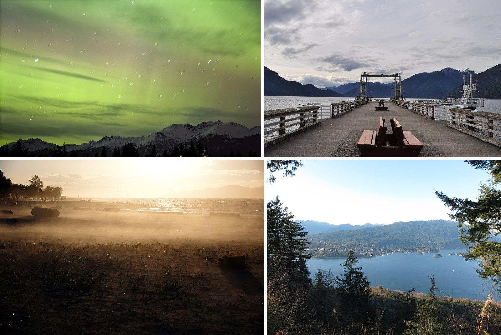
NASA and NOAA announced on October 15, 2024 that the Sun had reached the solar maximum period of Solar Cycle 25. That doesn’t mean the show is over. NOAA’s forecasters point out that the Halloween storm of 2003, one of the strongest on record, hit about two years after that cycle’s peak. Strong displays are still possible as the cycle winds down. Nobody can promise one.
When the lights do come, they reach the Lower Mainland. In recent years the aurora has been documented over Spanish Banks, Kits Beach, Burnaby Mountain and Whistler. The trouble is that most good viewing spots are parks, and parks have gates, closing times and parking rules.
This guide covers the beaches, viewpoints and dark valleys where the aurora has been photographed or where the sky is dark enough to give you a real chance. For each one you get what you’ll see, when it closes, where to park and what to watch for.
9. Iona Beach Regional Park (Richmond)
Where: Richmond, north of YVR
When: Hours posted at park entrances; earliest closing 5 pm; gates locked at closing; Destination Vancouver lists winter hours as 7 am to 5 pm
Cost: Entry fee not confirmed; parking cost not confirmed
Getting there: Arthur Laing Bridge, then Ferguson Road to the park
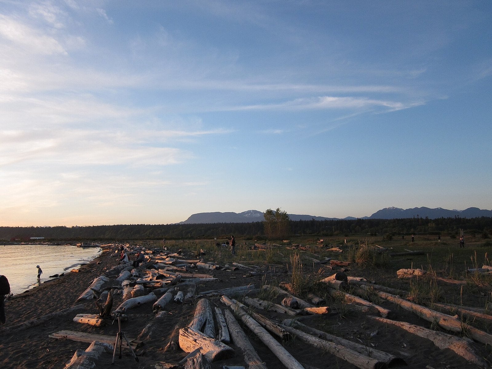
Local photographers have long treated Iona Beach as a dark-ish option close to town. A local blog lists it next to Porteau Cove and Burnaby Mountain for aurora watching. The draw is the 4 km jetty, which the City of Richmond describes running straight out into the Strait of Georgia under a huge open sky.
Metro Vancouver runs the park, and that shapes your night. Hours are posted at the entrances. The earliest closing time is 5 pm, and the gates are locked at closing. Destination Vancouver lists winter hours as 7 a.m. to 5 p.m., so in November expect the gate to close around dark. Read the gate sign when you arrive. The Metro Vancouver park brochure covers the basics.
Iona works best in late spring and summer, when the posted closing time runs later. We couldn’t confirm entry or parking fees from an official source. Cross the Arthur Laing Bridge, turn onto Ferguson Road and follow it to the park.
8. Boundary Bay Regional Park (Delta)
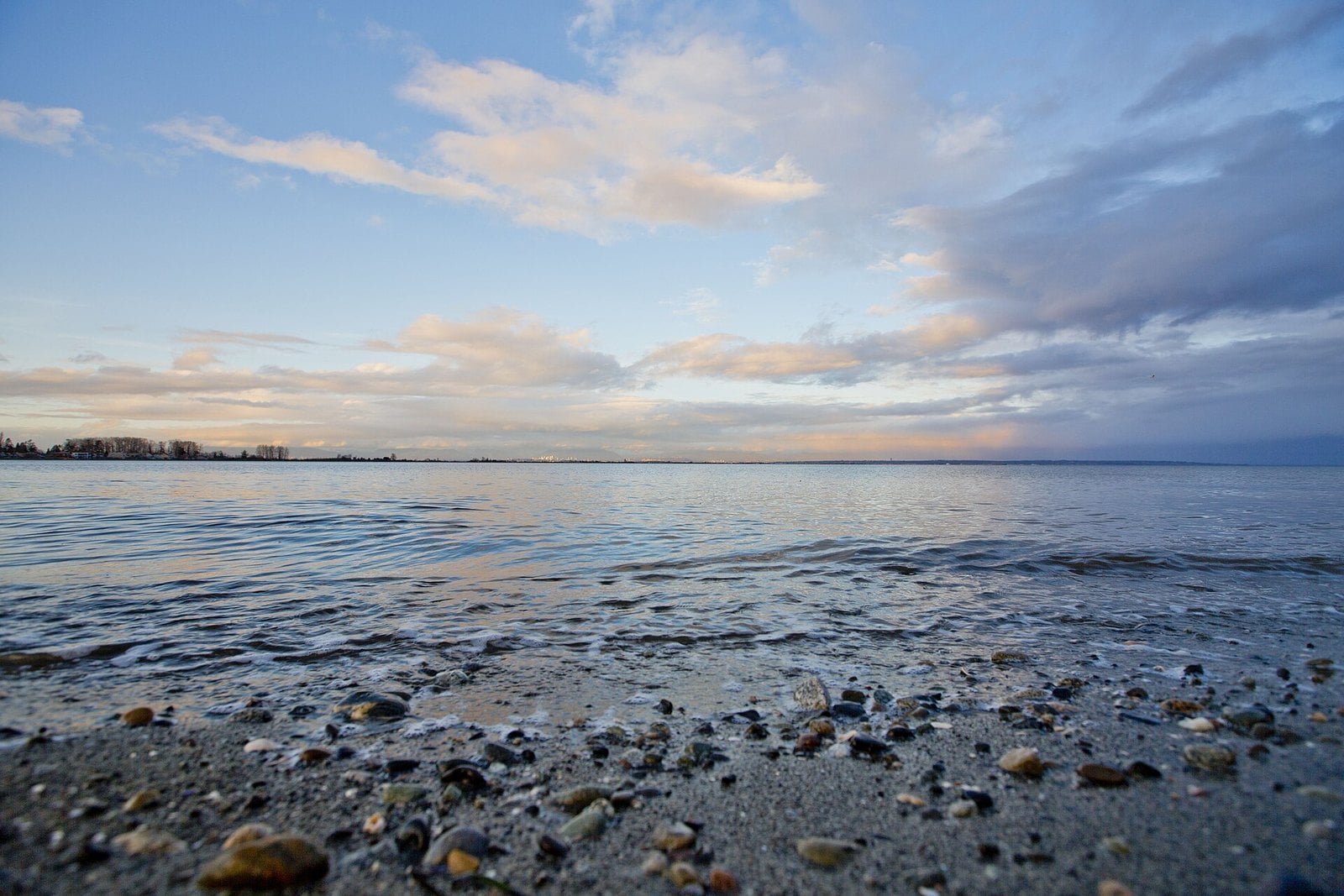
Where: Centennial Beach, Tsawwassen, Delta
When: Opens 7 am; earliest posted closing 5 pm; gates locked when closed; November hours not confirmed
Cost: Free entry; parking cost not confirmed
Getting there: Highway 99 to Highway 17A/17, then 56 Street and 12 Avenue onto Boundary Bay Road
This Metro Vancouver regional park wraps the shallow, sandy shore of Boundary Bay at Centennial Beach, with dyke trails and farmland behind it. The ground is flat and open. That gives you a wide view of the sky in almost every direction.
The park opens at 7 am. The earliest posted closing time is 5 pm, and the gates are locked when the park is closed. Cascadia Daily News reported that summer 2026 hours ran to 10 pm from June 2 to Aug. 24. November closing times weren’t confirmed.
Parking can be packed in summer, according to Cascadia Daily News. The Dyke Trail is shared with farm vehicles. If the gate is shut, don’t park on farm roads or private land. Pick another spot instead.
Take Highway 99 to Highway 17A/17, then 56 Street and 12 Avenue onto Boundary Bay Road. Entry is free.
7. McDonald Park Dark-Sky Preserve (Abbotsford)
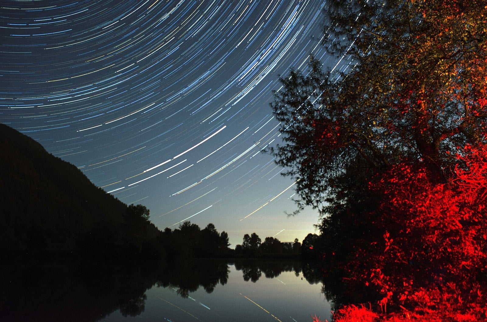
Where: 39451 No. 3 Road, Abbotsford (Sumas Prairie)
When: Gates close at 9 pm; night observing is through the Fraser Valley Astronomers Society (RASC Fraser Valley Centre)
Cost: Free for day use (not confirmed)
Getting there: Highway 1 east
Regional tourism material says the Royal Astronomical Society of Canada named this small civic park on the Sumas Prairie a dark-sky preserve. The site is next to the Sumas Lake Canal, away from the main town lights, and the Fraser Valley Astronomers Society uses it for observing. RASC itself notes that nearby greenhouses have severely degraded the night sky there.
The catch for aurora watchers is Sumas Mountain. It shields the park from town lights, but it also blocks the northern horizon. RASC says the park’s views are to the east, west and south. One observing-site directory lists north as the worst horizon. You’ll only see displays that climb high in the sky.
RASC says the park gates close at 9 pm. It strongly advises observers to leave their vehicles outside the gate so they don’t get locked in. Night observing is run through the Fraser Valley Astronomers Society, now RASC’s Fraser Valley Centre. Check FVAS for public observing nights rather than showing up on your own.
The address is 39451 No. 3 Road, Abbotsford. Take Highway 1 east.
6. Wayside Park and the Alta Lake shore (Whistler)
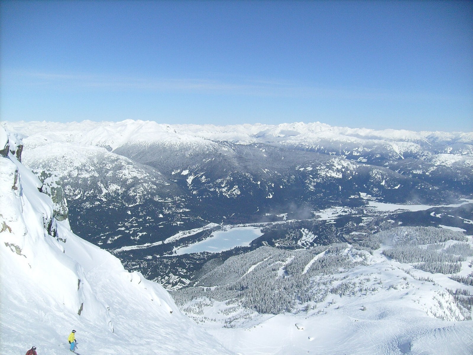
Where: Alta Lake, just south of Whistler Village
When: Lakeside Park dawn to dusk; Wayside Park page says "dusk to dawn" (apparent typo); check posted signs
Cost: Pay parking only May 15 to Sept. 15 in 2026 ($2.50 an hour, 10 am to 6 pm); no pay parking in November
Getting there: Highway 99 north; Wayside Park is off the highway south of the Village
Pique Newsmagazine has covered several aurora nights in Whistler. On March 23, 2023, Whistler Blackcomb’s 7th Heaven webcam caught the lights. On Aug. 4, 2023, a local went to Wayside Park on Alta Lake for a better view. On May 10, 2024, it seemed half the town was outside looking up.
The parks on Alta Lake give you open water and big mountain skylines. Wayside Park is just south of Whistler Village, off Highway 99.
Hours are the sticking point. The RMOW lists Lakeside Park as open dawn to dusk. The RMOW’s Wayside Park page lists its hours as “dusk to dawn,” which looks like a typo for dawn to dusk, so check the signs on site. Respect what’s posted. If it rules out a late night, book a stay with a north-facing view instead.
In 2026, RMOW pay parking at Wayside, Lakeside, Alpha Lake and Rainbow parks ran May 15 to Sept. 15, 10 a.m. to 6 p.m., so it isn’t in effect in November.
5. Cypress Provincial Park and the Highview Lookout (West Vancouver)

Where: Cypress Bowl Road, West Vancouver
When: Winter access route 7 am to 10 pm; vehicles left overnight outside Lot 3B are towed
Cost: Free in Lot 3B and designated areas; resort may charge in other lots November 1 to May 31
Getting there: Highway 1 west to Exit 8 (Cypress Bowl Road), then uphill
Partway up Cypress Bowl Road, the Highview Lookout (also called Barrett’s View) is a roadside parking area looking out over the Lower Mainland. It faces the city and the Fraser delta rather than due north. That makes it a spot for strong displays that fill the sky, not a faint glow on the horizon. No published sighting from this exact lookout has turned up, so treat it as a bet on height and open sky.
Higher up, Cypress Provincial Park has more open terrain in the ski area. BC Parks says the winter access route to the backcountry trails is open 7 am to 10 pm only. BC Parks also warns that vehicles parked overnight anywhere but Lot 3B will be towed.
Parking is free all year in three designated areas, including Lot 3B, according to BC Parks. Between November 1 and May 31, Cypress Mountain Resort may charge for parking elsewhere. Take Highway 1 (the Upper Levels Highway) to the signed Cypress Bowl Road turn-off and drive uphill. Winter tires are required on Cypress Bowl Road from Oct. 1 to April 30, and you should expect winter road conditions on the way up.
4. Spanish Banks and Kits Beach (Vancouver)
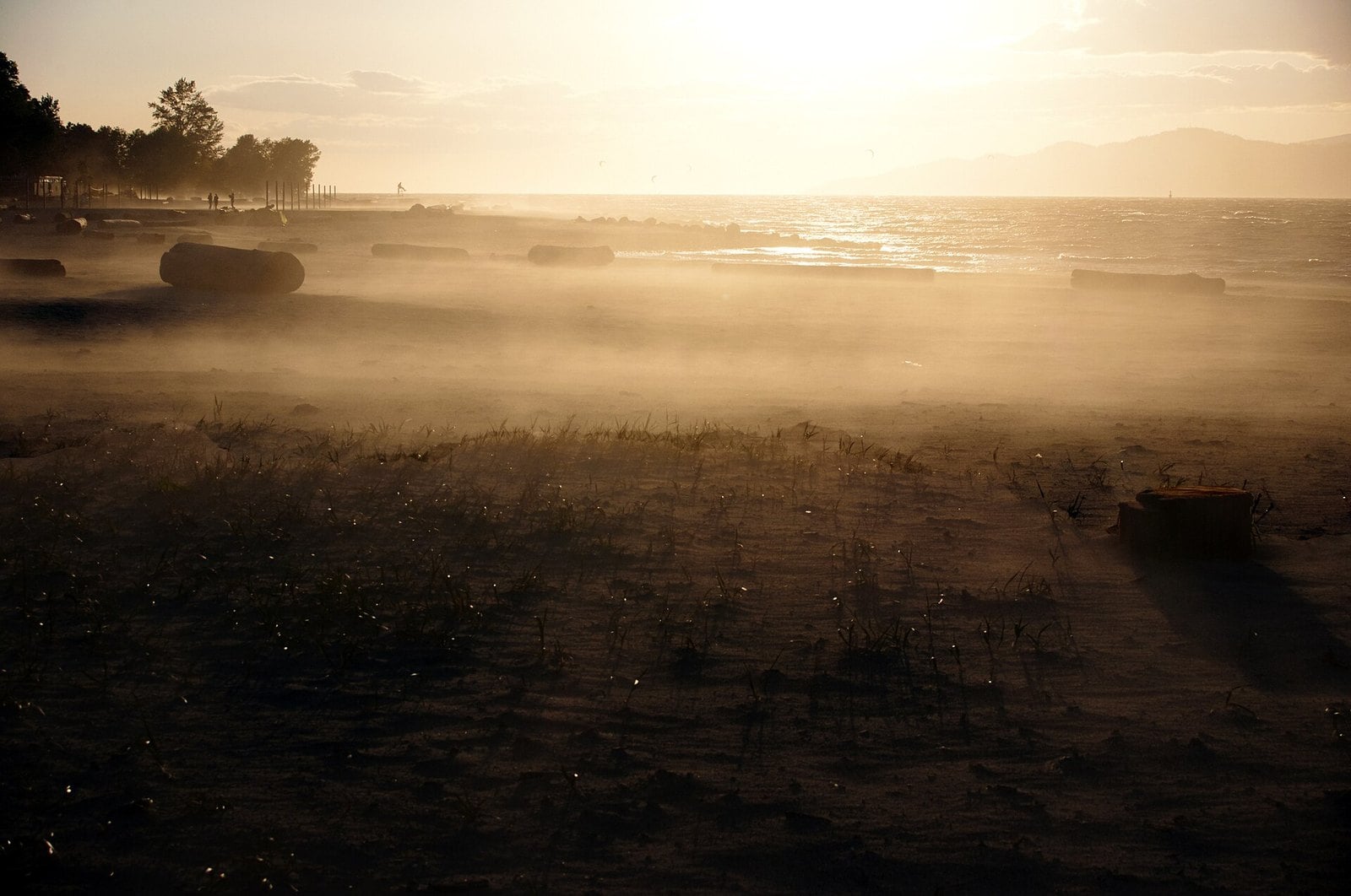
Where: West Point Grey and Kitsilano, Vancouver
When: Parks and beaches open 6 am to 10 pm
Cost: Seasonal rate Oct. 1, 2026 through March: first 2 hours free each day, then $3 an hour ($0.45 fee when paying by app; none at meters)
Getting there: NW Marine Drive west past Jericho and Locarno
On May 10, 2024, thousands of people gathered at Spanish Banks to watch a green and red sky. The beach looks north across English Bay to the North Shore mountains, which is the direction you want. When the aurora returned on October 10, 2024, photos came from Kits Beach and from all over the region.
These are city beaches with plenty of artificial light around them. They work on strong nights and not much else. Your phone camera will often pick up colour your eyes miss, so take a test shot before you call it a bust.
Vancouver parks, beaches and gardens are open 6 am to 10 pm. In past summers the VPD has walked the beaches at 10 pm to move people along. Strong displays often peak late at night, after closing. If activity is already up early in the evening, that’s your window.
Take NW Marine Drive west past Jericho and Locarno. The City of Vancouver says seasonal rates apply at the Spanish Banks lots from Oct. 1, 2026 through March. The first two hours each day are free, then it’s $3 an hour. Paying by app adds a $0.45 fee; paying at a meter doesn’t.
3. Burnaby Mountain Conservation Area (Burnaby)
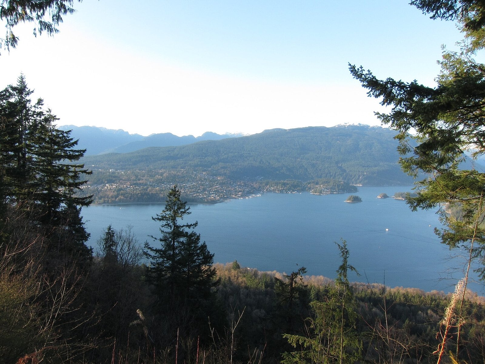
Where: Burnaby, next to SFU; open slopes off Centennial Way
When: Park open dawn to dusk; main lot closes 10 pm; Centennial Way and main lot closed November 9 to 13
Cost: No parking fee found in City sources (not confirmed)
Getting there: Hastings Street east to Burnaby Mountain Parkway, left on Centennial Way; or Highway 1 exit 37 and follow signs for SFU
Vancouver Is Awesome reported that Burnaby Mountain was a popular spot for aurora hunters during the January 2026 display. The reasons are simple: it’s high up and easy to reach. Head for the north face of the mountain, the side below SFU. The open slopes off Centennial Way look out over Burrard Inlet toward downtown and the North Shore.
The Kamui Mintara sculptures stand on those slopes and make a strong foreground for a photo, though the City has fenced off the main sculpture for preservation, so shoot from outside the fence. Destination Vancouver says there are washrooms at the Centennial Way lot. That counts for a lot on a long, cold wait.
Hours need some care. Destination Vancouver lists the conservation area as open dawn to dusk year-round, and the City of Burnaby says the main parking lot closes at 10 pm. The City has also posted that Centennial Way and the main lot will be closed November 9 to 13 for upgrades, weather permitting. Check the City of Burnaby park page before you go.
Take Hastings Street east, which becomes Burnaby Mountain Parkway, then turn left onto Centennial Way. From Highway 1, exit 37 and the signs for SFU also get you there. No parking fee turned up in City sources, but that isn’t confirmed.
2. E.C. Manning Provincial Park (Highway 3)
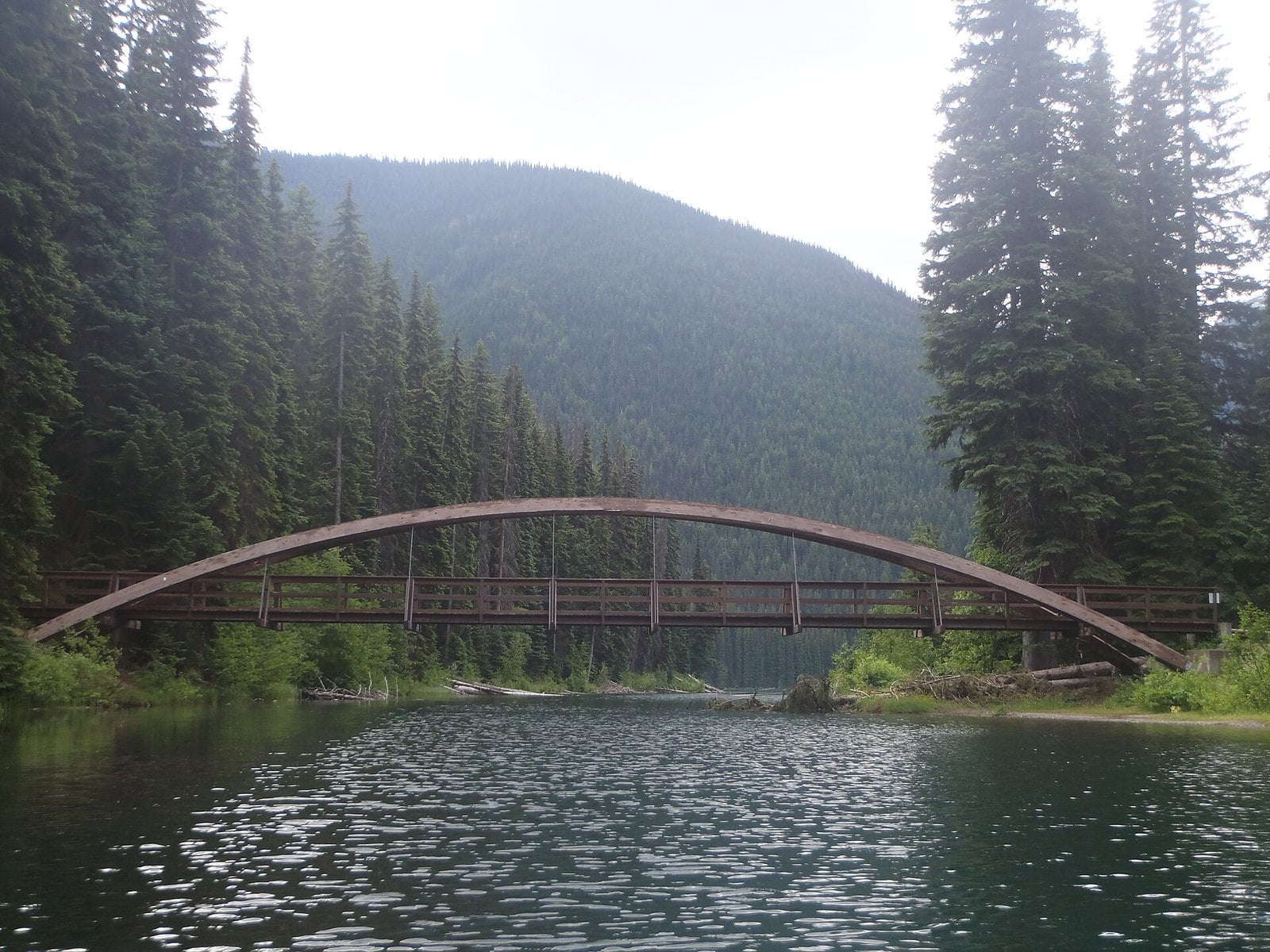
Where: Highway 3, between Hope and Princeton
When: Lightning Lake day-use and Windy Joe Field open year-round; Blackwall Peak gate closed for the season
Cost: Winter self-contained camping at Lightning Lake lot $13 a night for a party of 4; day-use fee not confirmed
Getting there: Highway 1 to Hope, then Highway 3 east; within a three-hour drive of the Lower Mainland
This is the darkest spot here that’s easy to reach in winter. Manning Park Resort says light pollution is minimal because the nearest town is 65 km away. BC Parks puts the park within a three-hour drive of the Lower Mainland.
The resort’s stargazing page lists the Lightning Lake Day Use Area, 4 km up Gibson Pass Road, as accessible year-round, with parking in the day-use lot. Windy Joe Field, steps from the resort cabins, is its other recommended spot.
BC Parks’ Oct. 23, 2026 trail report says the gate to Blackwall Peak and the Cascade Recreation Area is closed for the season. That puts the high Cascade Lookout out of reach until it reopens. Lightning Lake and Windy Joe Field stay open.
The resort’s camping page says that in winter, only self-contained camping is allowed at the Lightning Lake day-use area, at $13 a night for a party of 4, with no fires or tents. Take Highway 1 to Hope, then Highway 3 east. It’s a mountain pass, so check DriveBC before you leave. If you’re making the drive, book a room at the resort.
| Spot | Entry | Parking |
|---|---|---|
| Porteau Cove | No day-use fee found | Limited; no drop-offs |
| Spanish Banks | Free | First 2 hours free, then $3 an hour (Oct. 1, 2026 to March) |
| Burnaby Mountain | Free | No fee found; main lot closes 10 pm |
| Iona Beach | Free | Cost not confirmed |
| Boundary Bay | Free | Cost not confirmed; rules strictly enforced |
| Cypress | Free | Free in Lot 3B and designated areas; resort may charge November 1 to May 31 |
| McDonald Park | Free for day use (not confirmed) | Gates close at 9 pm |
| Whistler (Wayside, Lakeside) | Free | Pay parking only May 15 to Sept. 15 (2026); none in November |
| Manning (Lightning Lake) | Day-use fee not confirmed | Day-use lot; winter self-contained camping $13 a night for a party of 4 |
1. Porteau Cove Provincial Park (Howe Sound)
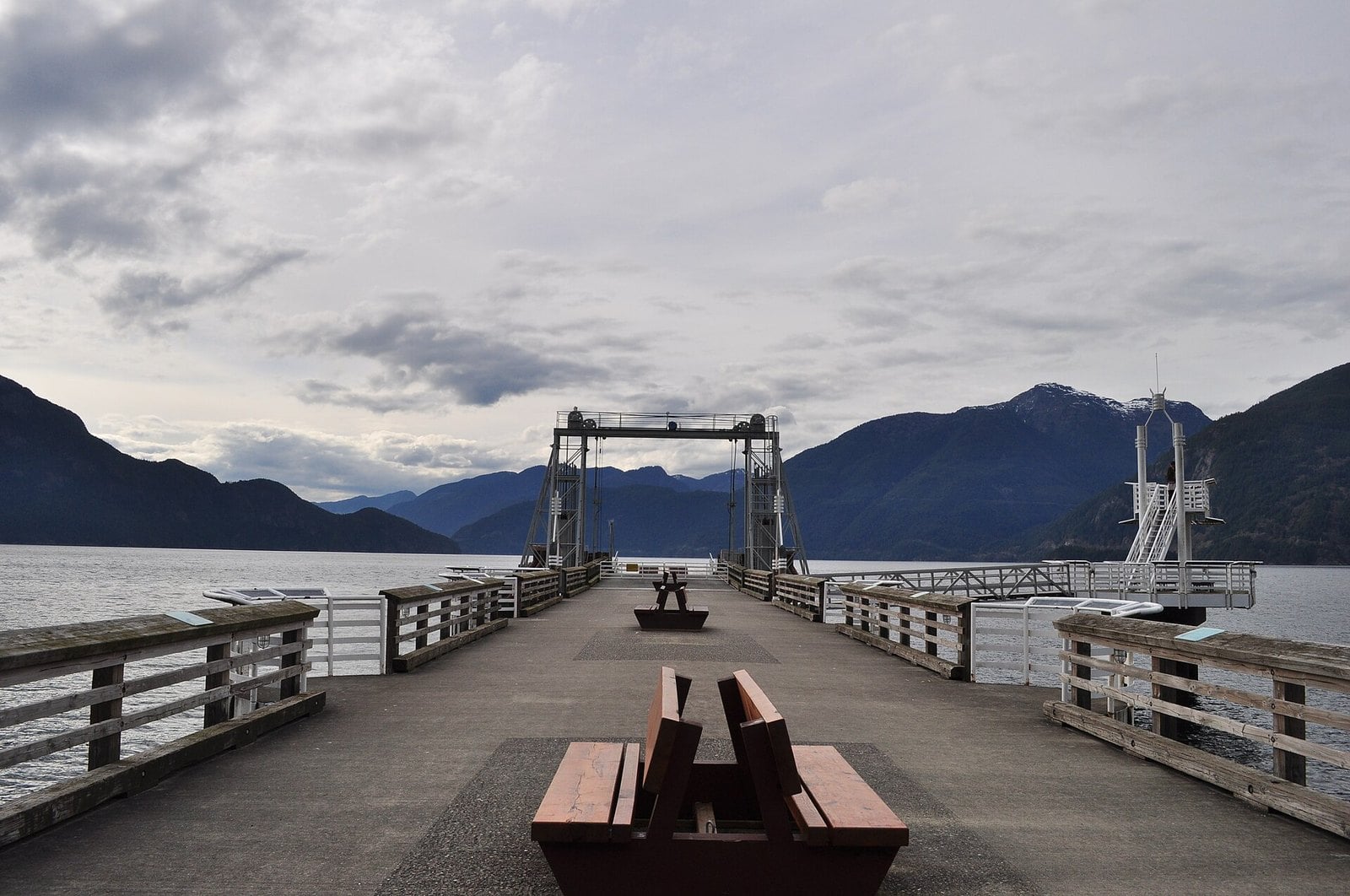
Where: Highway 99 on Howe Sound, about 38 km north of Vancouver and 20 km south of Squamish
When: Day-use area closes at 11 pm; campground off-limits for viewing; open year-round with limited winter facilities
Cost: No day-use fee found in official sources; winter campsite fees apply to registered campers only
Getting there: Drive north on Highway 99; parking is limited and drop-offs aren’t allowed
BC Parks has posted a notice on the Porteau Cove park page saying stargazing and aurora viewing are getting popular here. It’s one of the few spots on the Sea to Sky where the park operator itself acknowledges aurora watching. You look across Howe Sound to the mountains, with no city glow in front of you.
The park sits on what BC Parks calls the most southerly fjord in North America. The waterfront day-use area has picnic tables right on the ocean and a pebbly beach with big driftwood. If you arrive with light left, a short trail climbs rock and wooden steps to a lookout over Howe Sound. It takes about 30 minutes there and back from the day-use lot.
The rules matter here. The day-use area closes at 11 pm, and the campground is off-limits for sky watching at any hour. After 11 pm you need to be a registered guest with a valid permit. The park is open year-round, with limited facilities in winter.
Parking is limited and BC Parks doesn’t allow drop-offs. On a big forecast night, get there early, stay out of the campground loops and plan to leave by 11 pm.
How to check the forecast before you drive
- Space Weather Canada, part of Natural Resources Canada, publishes current and forecast conditions for the polar, auroral and sub-auroral zones. The sub-auroral zone covers 49 to 63 degrees magnetic latitude.
- Its 27-day outlook uses a daily index called DRX. In the sub-auroral zone, 0 to 20 nT is quiet, 20 to 40 is unsettled, 40 to 80 is active and 80+ is stormy.
- NOAA’s 30-minute aurora forecast gives a 30 to 90 minute look at where the aurora is and how strong it is. This is the one to check before you get in the car.
- NOAA’s experimental viewline map predicts the aurora’s intensity and location for tonight and tomorrow night.
- Check the Environment Canada cloud forecast too. A big aurora behind solid cloud is no aurora at all.
Reading Kp and the G scale
Kp runs from 0 to 9. NOAA’s storm scale starts at Kp 5, which is G1, and climbs one level per Kp step to G5 at Kp 9. NOAA estimates the aurora oval moves about 2 degrees of magnetic latitude toward the equator for every step up, reaching 48 degrees at Kp 9. The chart shows that rule, and the Kp table lays out what each level means.
For city beaches, you want a strong storm. For darker spots with a clear northern view, a smaller number can still be worth a look.
When to go
The Canadian Space Agency says auroras are most common around the spring and fall equinoxes, in March and September. Winter’s long, dark nights help too.
Solar Cycle 25 began in December 2019, and NASA and NOAA declared the solar maximum period in October 2024. Strong storms can still arrive after the peak. Strong displays often peak late at night, which runs into the closing times listed above. Plan around the gate, not just the forecast.
Clouds, cameras and expectations
Clear skies are essential. Around Vancouver, a camera often picks up the aurora when your eyes can’t. Try night mode on your phone, or a long exposure on a tripod.
The aurora is never guaranteed. A strong forecast can fizzle, and the clouds can roll in. Go for the night out and count the lights as a bonus.
What to bring
- A red light, so you don’t wreck everyone’s night vision
- Warm layers, because you’ll be standing still for a long time
- A full tank of gas
- Legal winter tires (M+S or mountain-snowflake, at least 3.5 mm tread). They’re required Oct. 1 to April 30 on the Sea to Sky, Highway 3 and Cypress Bowl Road
- A phone with night mode, or a camera and tripod
Etiquette and safety
- Follow posted park hours. Porteau Cove’s day-use area closes at 11 pm, and the campground is off-limits for viewing. Vancouver beaches close at 10 pm. Metro Vancouver regional parks lock their gates at the posted closing time.
- Don’t park on farm roads, private driveways or lanes in Delta or the Fraser Valley.
- Skip the backcountry. Pipi7íyekw/Joffre Lakes, for example, is alpine avalanche terrain in winter and isn’t a casual night trip. Its 2026 day-use pass season ended Oct. 25.
- Keep your headlights and screens pointed away from other people’s cameras.
Getting there
Porteau Cove and Whistler are both up Highway 99 on the Sea to Sky. Spanish Banks is along NW Marine Drive, and Burnaby Mountain is off Hastings Street and Burnaby Mountain Parkway. Iona is over the Arthur Laing Bridge. Boundary Bay is off Highway 17A/17 in Delta. Cypress is Exit 8 off Highway 1. McDonald Park is east on Highway 1, and Manning is Highway 1 to Hope, then Highway 3.
For the mountain routes, check DriveBC before you leave. Go prepared for winter conditions, even if it’s clear in town.
| Kp | NOAA storm level | What NOAA says to expect |
|---|---|---|
| 0 to 2 | None | Aurora stays far north and dim |
| 3 | None | Quiet aurora; moving south and brightening |
| 4 | None | Moving south and brightening |
| 5 | G1 | Moderate aurora |
| 6 | G2 | Reaching farther south, very bright |
| 7 | G3 | Active aurora |
| 8 | G4 | Reaching farther south, very bright |
| 9 | G5 | Very active aurora |
The aurora near Vancouver comes down to three things: a strong forecast, a clear sky and a spot that’s still open when the lights peak. The city beaches and Burnaby Mountain are fine on a big night. For anything less, head for darker ground like Porteau Cove or Manning. Watch the 30-minute forecast, check the gate times and keep your expectations loose.
Get the weekend plan in your inbox. Burrard Bulletin is a free email on what’s actually on from Vancouver to Whistler. Sign up here.
Photo credits
- Aurora Borealis over Armchair mtn.jpg by Martin Bell, CC BY-SA 4.0 (combined into a montage, cropped). Via Wikimedia Commons.
- Porteau Cove Provincial Marine Park 01.jpg by Joe Mabel, CC BY 3.0 (combined into a montage, cropped). Via Wikimedia Commons.
- Spanish Banks, Vancouver BC.jpg by Blackie Ray, CC BY-SA 4.0 (combined into a montage, cropped). Via Wikimedia Commons.
- Burnaby Mountain Park (4413040236).jpg by GoToVan, CC BY 2.0 (combined into a montage, cropped). Via Wikimedia Commons.
- Iona Beach Park, Richmond (4607671675).jpg by GoToVan, CC BY 2.0 (resized). Via Wikimedia Commons.
- Boundary Bay Regional Park in Tsawwassen.jpg by GoToVan, CC BY 2.0 (resized). Via Wikimedia Commons.
- Cypress Mountain Viewpoint (15220954427).jpg by Jerry Meaden from Surrey, BC, Canada, CC BY 2.0 (resized). Via Wikimedia Commons.
- Star Trails McDonald Park (15299077692).jpg by Jerry Meaden from Surrey, BC, Canada, CC BY 2.0 (resized). Via Wikimedia Commons.
- Whistler bowl+lake.JPG by OOroyOo, CC BY-SA 3.0 (resized). Via Wikimedia Commons.
- RainbowBridge1.JPG by Cjstepney, CC BY-SA 3.0 (resized). Via Wikimedia Commons.