
9 Quiet Beaches on Vancouver Island Locals Keep to Themselves
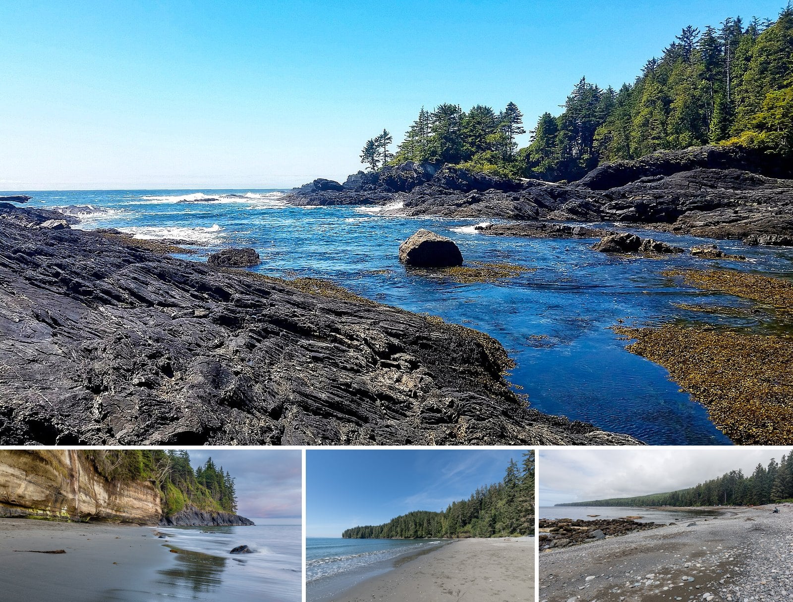
None of these beaches is a secret. Juan de Fuca Park, home to several of them, recorded 615,784 visits in 2023/24. BC Parks counts every day a person spends in a park as one visit, so that figure is a lot of boots on the same few trails.
Timing is the part locals keep to themselves. A low tide at Botanical Beach in the off-season is a different place from a July afternoon. Rathtrevor is packed in summer and much quieter once it’s over. Hornby Island’s bluffs are at their best in late April, before most people have thought about the Gulf Islands. This guide covers beaches along Hwy 14 west of Sooke, stretches of sand and tide flat between Parksville and Black Creek, and spots on Hornby, two short ferries off the Island. It also covers the tide, dog and ferry rules you need to know before you leave the house.
One status note first. Storms badly damaged the Juan de Fuca Marine Trail, which runs from China Beach to Botanical Beach. The full trail reopened on July 1, 2026, but BC Parks warns that storm damage has closed it at times, and minor repairs have continued since. Check the Juan de Fuca Park page for current advisories before you drive out.
9. Helliwell Provincial Park (Hornby Island)
Where: St. John’s Point, Hornby Island
When: Year-round; best in late April and early May for wildflowers
Cost: Ferry fares apply; no day-use pass required
Getting there: Same two ferries as Tribune Bay; Central Road to St. John’s Point Road
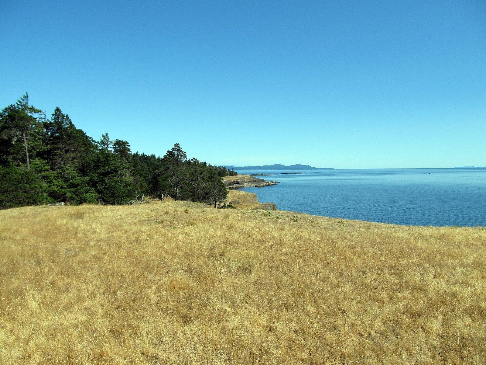
Helliwell covers a rocky headland at St. John’s Point, at the northern entrance to Tribune Bay. A 5 km loop follows the Helliwell Bluffs and comes back through Douglas fir and Garry oak forest. From the bluffs you look across the Strait of Georgia to the Coast Mountains.
The land was donated, and the park carries the donor’s name. It became a park in 1966. Old-growth Douglas fir still covers much of the headland, and the park is an Important Bird Area. It’s more of a clifftop walk than a beach day. Pair it with Tribune Bay next door.
The day-use area is open year-round. BC Parks says the best time is late April and early May, when wildflowers cover the slopes along the cliffs. That’s well before peak summer.
The trails run right beside high cliffs. Stay on the marked trails and keep kids well back from the edge. Pets must be leashed at all times. To get here, take the same two ferries as Tribune Bay. On Hornby, go to the Co-op, then take Central Road to St. John’s Point Road. The Helliwell Park page lists current advisories.
8. Tribune Bay (Hornby Island)
Where: Tribune Bay Provincial Park, Hornby Island
When: Day-use gate usually closes at 9 pm; check off-season services
Cost: Ferry fares apply; no day-use pass required
Getting there: Buckley Bay to Denman Island West, drive to Gravelly Bay, ferry to Shingle Spit, then Central Road
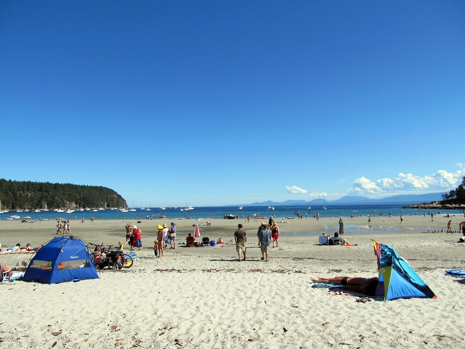
Tribune Bay has almost 1 km of fine white sand, odd rock formations along the shore and plenty of wildflowers in spring. The bay is shallow, and its operator calls it one of the warmest saltwater swimming areas in B.C. A walking trail runs parallel to the beach and links the day-use area, the campground and the Hornby Island Co-op.
The park recently got bigger. The Province bought the last beachfront property on the bay, along with the private campground beside it. A multi-million-dollar redesign followed. Starting with the 2026 season, you can reserve the campground through camping.bcparks.ca. Check the park advisories before you go in case any construction-related trail closures are still in effect.
The day-use gate usually closes at 9 pm. Check the park page for off-season services. Campfires and beach fires are strictly prohibited anywhere in the park. Dogs must be leashed and are allowed only on the southwest and northeast sections of the beach; the middle section is dog-free.
Getting here takes two ferries. From Buckley Bay, the Denman Island West ferry crosses in 10 minutes. Drive about 15 minutes across Denman to Gravelly Bay, then take the 10-minute ferry to Shingle Spit. On Hornby, follow the main road to the Co-op and turn left on Central Road. The Tribune Bay Park page has current notices.
7. China Beach (west of Jordan River)
Where: Juan de Fuca Provincial Park, west of Jordan River
When: Check advisories before a winter visit; the campground closes in winter
Cost: No day-use pass required
Getting there: Hwy 14; the campground is 35 km west of Sooke and 36 km east of Port Renfrew, with the day-use lot just west of it
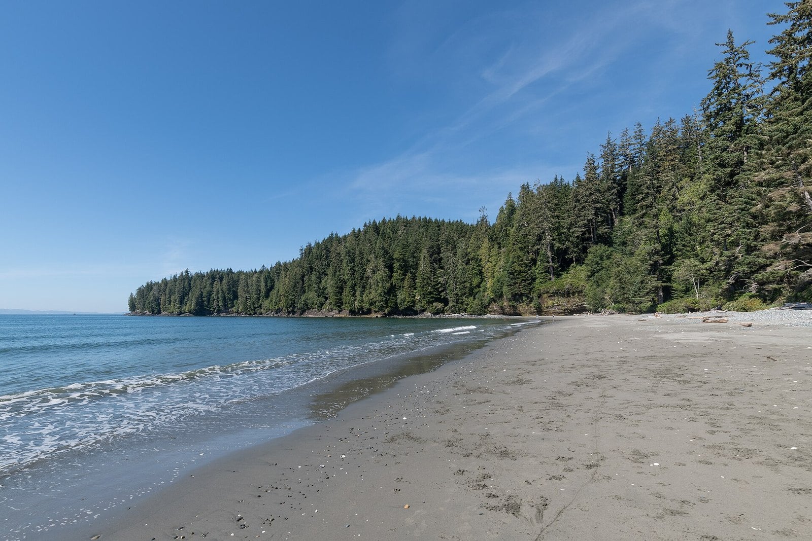
A 1 km trail runs from the China Beach day-use lot through mature forest to the sand. The beach is fine sand, which BC Parks pitches for picnics, sandcastles and wading. Walk to the western end and you’ll reach a waterfall. Head east along the shore and you can walk to Second Beach.
This is the easy-going member of the Juan de Fuca group. It’s sand rather than cobble or rock shelf, the walk is short, and dogs are allowed on the beach and in the day-use area. It suits families who want the west coast feel without a muddy hike.
BC Parks rates the trail easy to moderate, with some steep sections. You’ll feel them on the climb back to the car. BC Parks’ current page doesn’t list operating dates for the day-use area, so check advisories before a winter visit. An older BC Parks page says the separate China Beach campground closes for the winter.
Mystic Beach starts from the same area, so you can do both in a day. Juan de Fuca Park has no designated swimming areas, so keep the wading to the shallows.
6. Qualicum Beach waterfront in winter (Qualicum Beach)
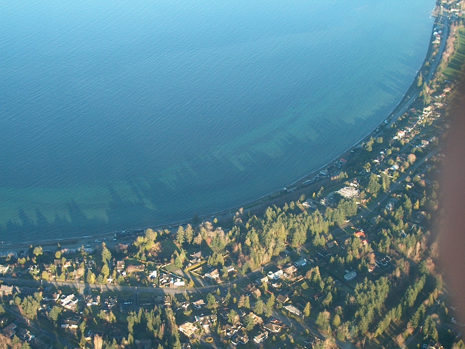
Where: Town of Qualicum Beach, along Hwy 19A
When: Year-round; walkway plowed in winter once roads are clear
Cost: Free (public municipal waterfront)
Getting there: Hwy 19A, 11 km north of Parksville
Qualicum Beach’s waterfront runs right along Hwy 19A. The town has long wanted a safe, continuous walkway along the water. A recent project added two-way pedestrian and bike lanes, separated from traffic by concrete barriers.
Winter is a good time to come. Once the roads are clear, town crews plow the waterfront walkway along with a few other busy paved trails, so you can still walk it after snow. At the west end, Seaside Nature Park is a popular place to watch Brant geese in spring.
It’s a public municipal waterfront and free to walk. Dogs are banned from every public beach in town from March 1 to April 30, on or off leash, and owners can be fined $100. Leashed dogs are still allowed on the street-level walkway during that time.
On a storm day, walk the promenade at high tide and watch the water come in. Then come back at low tide to walk the beach itself. The town is 11 km north of Parksville. See the town’s walkway project page for background.
5. Miracle Beach (Black Creek)
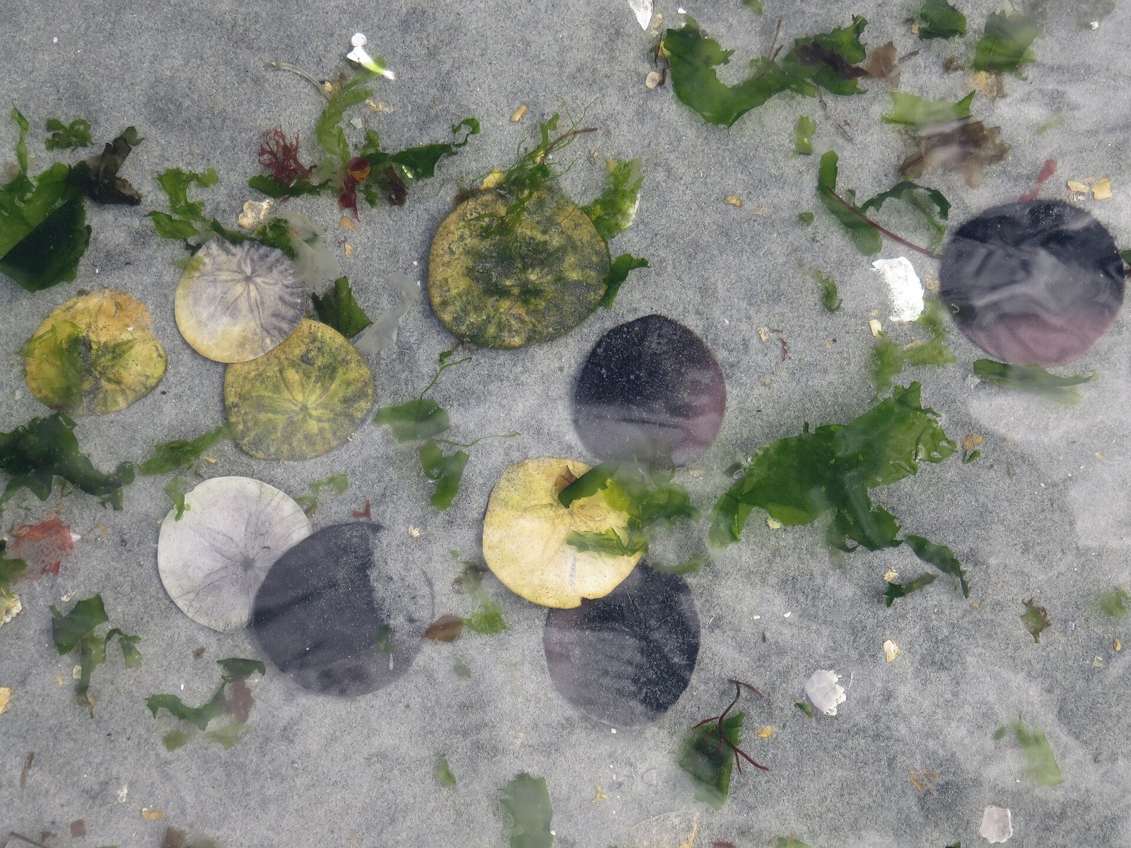
Where: Miracle Beach Provincial Park, Black Creek
When: Day use year-round; Nature House in peak season only
Cost: No day-use pass required; winter camping $13 per party per night, Nov 1–30 and March 1–19 (operator)
Getting there: Off Hwy 19A, 22 km north of Courtenay; exit 144 from Hwy 19
Miracle Beach sits halfway between Courtenay and Campbell River. It has a sandy shore with tide pools, about 2 km of forest trails and wide views across the Strait of Georgia. Parts of the beach have barnacles and sharp shells, so BC Parks says to wear shoes. That includes kids who’d rather go barefoot.
The land was once privately owned. In 1952 a game reserve was set up over the foreshore, and in 1956 it was added to the park. That’s why the tidal flats in front of you are protected along with the forest behind them.
The day-use area stays open all year, according to the operator, while the Nature House opens in peak season only. The operator also lists winter camping from March 1 to 19 and November 1 to 30 at $13 per party per night. The operator’s listing doesn’t give a year, so check with the operator before you head up for a November stay.
The park is 22 km north of Courtenay and 22 km south of Campbell River, off Hwy 19A. From Hwy 19, take exit 144. Most trails start from the north beach parking lot, where a designated dog-walking trail also begins. Dogs aren’t allowed on the north beach or in the estuary, and the most popular swimming area is at the south beach day-use lot. More at the Miracle Beach Park page.
4. Mystic Beach (Jordan River)
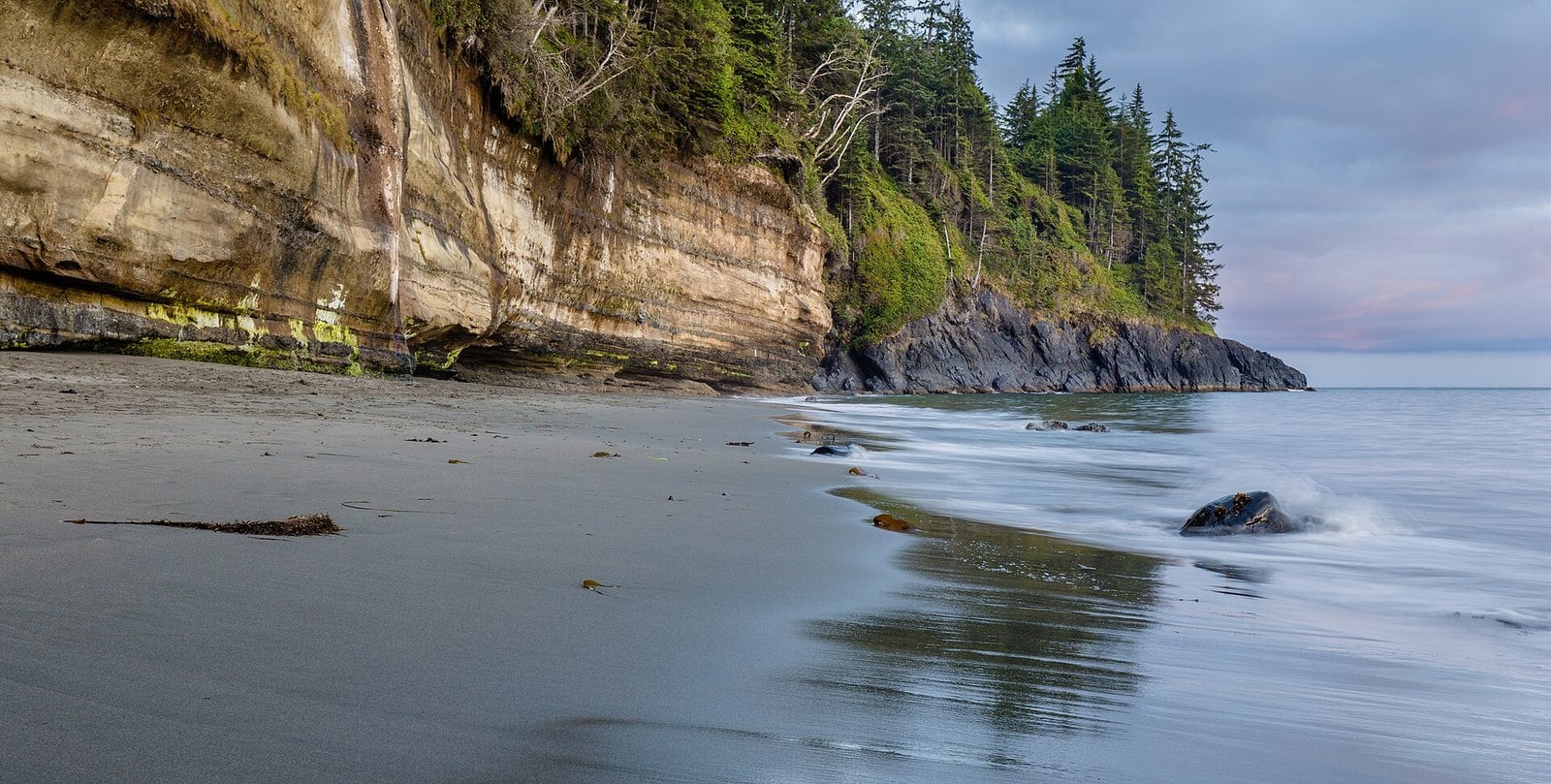
Where: Juan de Fuca Provincial Park, near Jordan River
When: Year-round; expect mud in the wet season
Cost: No day-use pass required; backcountry camping needs a permit
Getting there: Hwy 14 to the China Beach day-use area, about 1 km west of the China Beach campground (35 km west of Sooke); start at the Juan de Fuca East trailhead
Mystic Beach is the first beach on the Juan de Fuca Marine Trail. It sits 2.5 km from the Juan de Fuca East trailhead at Kilometre 0. Times Colonist reporting describes about two kilometres of forest walking with tree roots, mud and steep stairs. At the bottom there’s a waterfall and sea caves cut by the waves.
It earns its spot here because it’s a real walk. That alone filters out some of the crowd. When storm damage closed most of the trail in 2025, Mystic Beach and East Sombrio were the places that stayed open for day use and backcountry camping.
It’s open year-round. In the wet season, expect mud and plan your hike around daylight. Wear boots. Sandals are a bad idea on those roots and stairs. Check BC Parks advisories before you go.
Camping on the beach counts as backcountry camping, and you need a permit. You can buy one at camping.bcparks.ca up to two weeks ahead. BC Parks warns trail users not to leave valuables unattended in their vehicles at the trailhead.
3. Rathtrevor Beach in winter (Parksville)
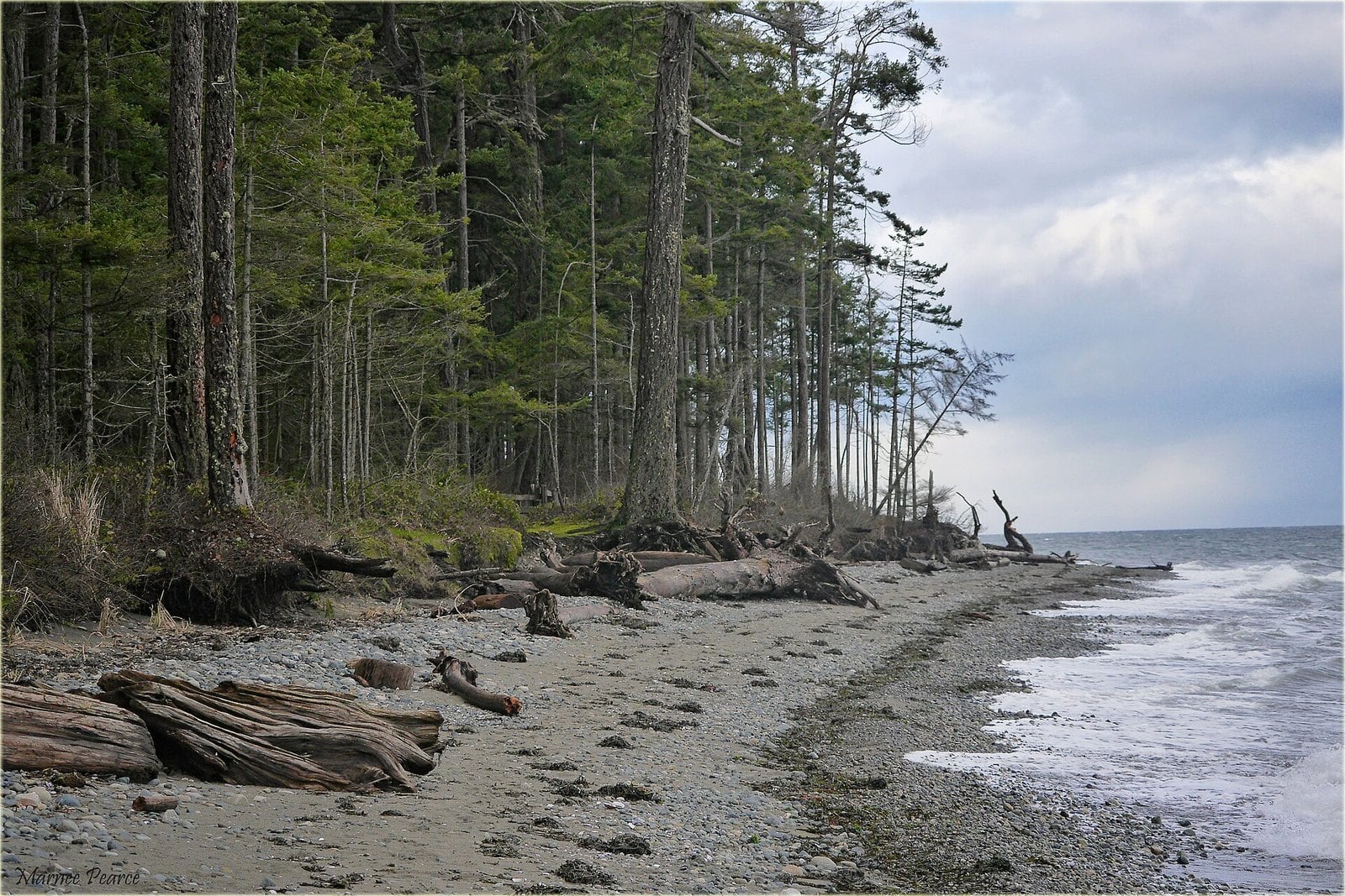
Where: Rathtrevor Beach Provincial Park, Parksville
When: Year-round; Brant geese February to April
Cost: No day-use pass required; camping available year-round (operator)
Getting there: 3 km south of Parksville on Hwy 19A
Rathtrevor is packed in summer and much quieter in the off-season, which is when it’s worth the trip. The beach runs about two kilometres. At low tide it can stretch up to a kilometre wide, and walking out to the waterline takes a while. The park covers 347 hectares, and 240 of them are foreshore.
The name comes from the Rath family. An Irish gold prospector and his young family started a homestead here in 1886. It later became a campground, and in 1967 it became a provincial park. Behind the beach, 5.5 km of easy trails wind through old-growth Douglas fir, and most of them are wheelchair accessible.
From February to April, Rathtrevor is one of the best places on the Island to see migrating Brant geese. Because of the geese, the beach is closed to dogs from February 15 to April 30. The sandy day-use beach on the east shore is closed to pets year-round. Leashed dogs are allowed only on the rocky north shore, from May 1 to February 14.
The park is 3 km south of Parksville on Hwy 19A. The campground operator says camping is available year-round. Details are on the Rathtrevor Beach Park page.
2. Sombrio Beach (between Jordan River and Port Renfrew)
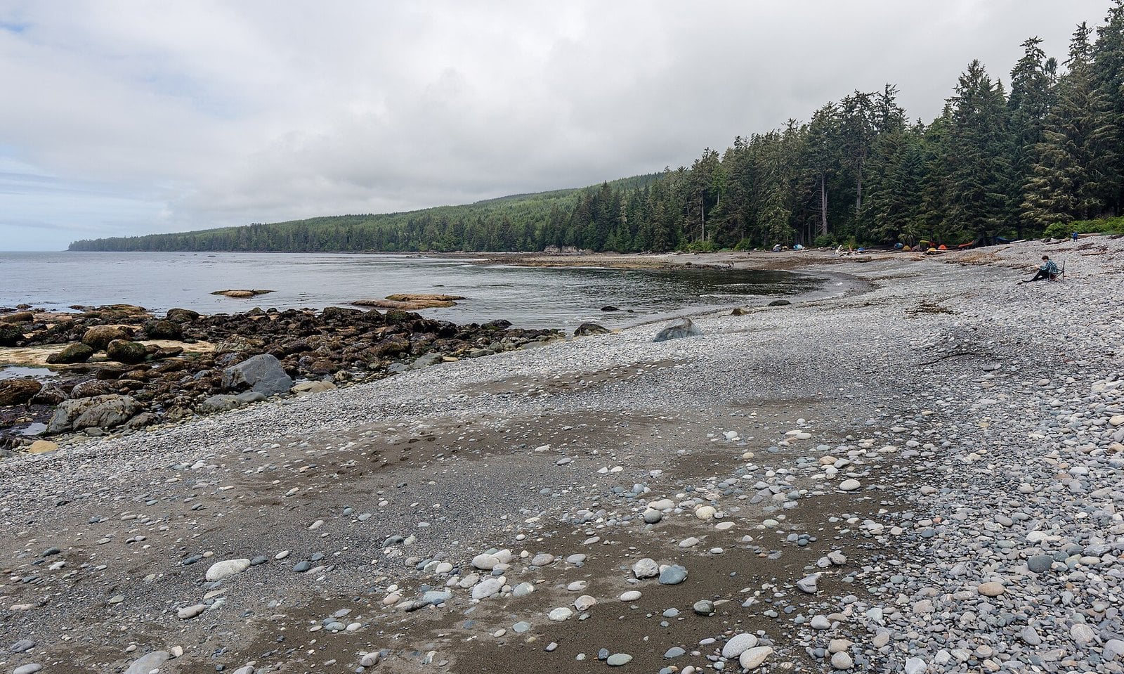
Where: Juan de Fuca Provincial Park, about Kilometre 29 of the trail
When: Year-round; big surf and storms in winter
Cost: No day-use pass required; backcountry camping needs a permit; ask the park operator before sleeping in your vehicle at the trailhead
Getting there: Hwy 14 to the signed Sombrio Beach trailhead, between the China Beach and Parkinson Creek trailheads
Sombrio is a large cobbled beach at about Kilometre 29 of the Juan de Fuca Marine Trail. From the trailhead lot off Hwy 14 it’s a 250-metre walk.
BC Parks calls it a world-class surfing area. If you’re not surfing, you can walk the beach east or west or settle in on the cobbles for lunch. There are three wilderness camping areas: East, Main and West Sombrio. An older BC Parks page allowed overnight camping in your vehicle at the trailhead lot, but the current park page doesn’t mention it, so confirm with the park operator first.
It’s open year-round. Surf and storms get big in winter, and that’s part of the draw. Respect any posted trail closures. Bring layers, because the cobbles are exposed to wind.
This is a thru-hiker beach as much as a day-trip one. Give people with big packs room, and keep your campsite footprint small.
1. Botanical Beach (Port Renfrew)
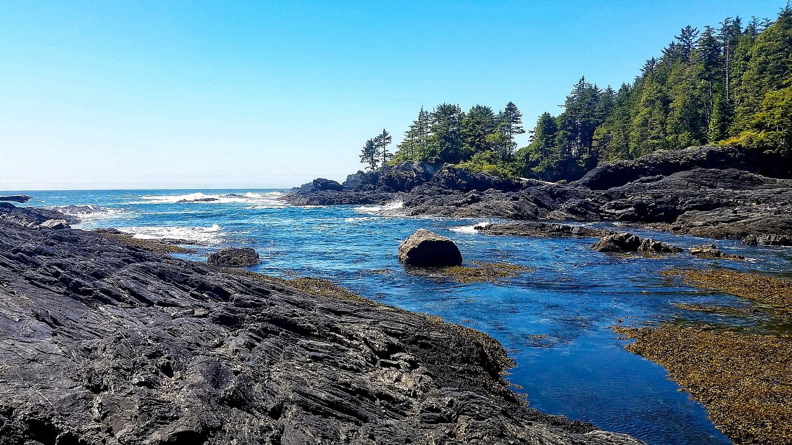
Where: Juan de Fuca Provincial Park, end of Hwy 14 at Port Renfrew
When: Year-round; go at a low tide of 1.2 m or less
Cost: No day-use pass required
Getting there: Hwy 14 to Port Renfrew; trailhead lot at Kilometre 47, about two hours from Victoria
Hwy 14 ends at Port Renfrew, and Botanical Beach is the last stop. At low tide the sea drops back off a wide shelf of sandstone and granite. The hollows left behind are tide pools. You’ll find sea stars, urchins, gooseneck barnacles, anemones, chitons and coralline algae, often all in the same pool.
Scientists noticed this before tourists did. In 1901 the University of Minnesota built the first marine research station in the Pacific Northwest here. The park exists to protect that tide pool life, so the rule is simple: look, don’t touch. BC Parks warns that even touching the water with sunscreen on your hands can leave a film that kills the animals. Leave the buckets and nets at home.
Timing is everything. BC Parks says a low tide of 1.2 m or less is best and points you to the Port Renfrew section of the Canadian Tide Tables. The day-use area has no posted seasonal closure, but check bcparks.ca advisories before you go. Rough surf, rogue waves, storms and strong currents are common, and a rising tide can cut off parts of the shoreline. Watch the water and leave yourself time to get back.
The parking lot is the western terminus of the Juan de Fuca Marine Trail, at Kilometre 47. It has pit toilets, visitor information and picnic areas. Tourism Victoria puts the drive at about two hours from Victoria. Hikers on the trail can leave cars overnight in the lot, but it isn’t a campground. Dogs need to be leashed and kept out of the pools.
| Leg | Crossing | Booking | Passenger return fare (12+) |
|---|---|---|---|
| Buckley Bay → Denman Island West | 10 min | Non-bookable; fares paid on board | $10.55 |
| Drive Denman West → Gravelly Bay | about 15 min by road | — | — |
| Gravelly Bay (Denman East) → Shingle Spit (Hornby) | 10 min | Fares collected separately | $10.55 |
| Beach | Rule |
|---|---|
| Rathtrevor (whole beach) | No dogs Feb 15–Apr 30 |
| Rathtrevor (east-shore sandy day-use beach) | No pets year-round |
| Rathtrevor (rocky north shore) | Leashed, May 1–Feb 14 |
| Qualicum Beach public beaches | No dogs Mar 1–Apr 30; leashed on street-level walkway |
| China Beach | Dogs allowed |
| Botanical Beach | Leashed and out of tide pools |
| Tribune Bay | Leashed; not allowed on a large section of beach |
| Helliwell | Leashed at all times |
When to go
- For the Juan de Fuca beaches, the tide table matters more than the calendar. Botanical Beach is best at a low tide of 1.2 m or less. Use the Port Renfrew section of the Canadian Tide Tables.
- Brant geese stop along the Parksville and Qualicum shoreline from February to April. That’s also when the dog closures kick in.
- The 2026 Brant Wildlife Festival ran April 10 to 13, 2026. The 2027 festival dates aren’t posted yet. The related Pacific Brant Carving, Woodworking & Art Show lists April 3 and 4, 2027.
- On Hornby, Helliwell’s wildflowers peak in late April and early May.
- The full Juan de Fuca Marine Trail reopened on July 1, 2026, but storms can close sections again. Check BC Parks advisories before you go.
What to bring
- A printed or downloaded tide table for the day.
- Boots for Mystic Beach. The trail has roots, mud and steep stairs.
- Shoes you can get wet at Miracle Beach, where there are barnacles and sharp shells.
- Warm layers for Sombrio and the other exposed west coast beaches.
- A leash. Several beaches in this guide require leashes, and Rathtrevor and Qualicum Beach close to dogs in spring.
- Nothing worth stealing in the car. BC Parks warns about break-ins at Juan de Fuca trailheads.
Safety and etiquette
The Juan de Fuca beaches get rough surf, rogue waves, high tides, storms and strong currents. In big surf, stay off logs and wet rock shelves, and keep an eye on the water. A rising tide can cut off parts of the shoreline, so know when it turns.
At Botanical Beach, don’t touch, collect or disturb marine life, shells, kelp or plants. Never put buckets, nets or your hands in the pools. At Helliwell, stay on marked trails and keep kids back from the cliff edges. Campfires and beach fires are banned anywhere in Tribune Bay Park.
Dogs
Dog rules here change by beach and by season, mostly because of the spring Brant migration. The dog table covers most of these beaches. At Miracle Beach, dogs are banned from the estuary and the north beach, and BC Parks says the Juan de Fuca backcountry isn’t suitable for dogs. The two that catch people out: Rathtrevor is closed to dogs from February 15 to April 30, and Qualicum Beach bans dogs from every public beach from March 1 to April 30, with a possible $100 fine.
Getting there
If you’re driving from Horseshoe Bay to Nanaimo (Departure Bay), you must book and pay in advance. The rule applies in that direction only. Details are on BC Ferries’ Horseshoe Bay travel page.
The Denman and Hornby ferries can’t be booked. You pay on board, and each crossing takes 10 minutes. The return passenger fare on each route is $10.55 for ages 12 and up under BC Ferries’ current fare index, plus a 5% fuel surcharge, but check BC Ferries before you go. For the Juan de Fuca beaches, Hwy 14 west of Sooke is the main road in. Parksville, Qualicum Beach and Miracle Beach all sit along Hwy 19A.
| Beach | Walk from the car | Good to know |
|---|---|---|
| Botanical Beach | Distance not published by BC Parks | Trailhead lot at Kilometre 47; go at a low tide of 1.2 m or less |
| Mystic Beach | 2.5 km from the Juan de Fuca East trailhead | Roots, mud and steep stairs |
| China Beach | 1 km trail | Easy to moderate, with some steep sections |
| Sombrio Beach | 250 m access trail | Cobbles; exposed to wind |
| Rathtrevor Beach | 5.5 km of easy trails in the park | Most trails wheelchair accessible |
| Qualicum Beach waterfront | Street-level walkway along Hwy 19A | Plowed in winter once roads are clear |
| Miracle Beach | About 2 km of trails in the park | Wear shoes for barnacles and shells |
| Tribune Bay | Trail parallel to the beach | Links day use, campground and Co-op |
| Helliwell | 5 km loop along the bluffs | Cliff hazards next to the trail |
A beach with a lot of visitors can still feel empty if you pick your moment. Read the tide, check the dog calendar, book the Horseshoe Bay sailing if you’re driving, and go when everyone else is somewhere else. Bring boots and a layer, and leave the tide pools the way you found them.
Get the weekend plan in your inbox. Burrard Bulletin is a free email on what’s actually on from Vancouver to Whistler. Sign up here.
Photo credits
- Botanical Beach Provincial Park (27539516787).jpg by Mike from Vancouver, Canada, CC BY-SA 2.0 (combined into a montage, cropped). Via Wikimedia Commons.
- Mystic Beach, Vancouver Island, Canada 10.jpg by Michal Klajban, CC BY-SA 4.0 (combined into a montage, cropped). Via Wikimedia Commons.
- China Beach, Vancouver Island, view towards northwest 20240829 1.jpg by DXR, CC BY-SA 4.0 (combined into a montage, cropped). Via Wikimedia Commons.
- Sombrio Beach, Juan de Fuca Trail, Vancouver Island, Canada 20.jpg by Michal Klajban, CC BY-SA 4.0 (combined into a montage, cropped). Via Wikimedia Commons.
- Rathtrevor Beach Provincial Park.jpg by marneejill, CC BY-SA 2.0 (resized). Via Wikimedia Commons.
- Qualicum waterfront aerial 2.jpg by Ken Walker kgw@lunar.ca, CC BY-SA 2.5 (resized). Via Wikimedia Commons.
- Sand dollars on Miracle Beach.jpg by Susan Daly, CC BY-SA 4.0 (resized). Via Wikimedia Commons.
- Big Tribune Bay Beach (11430753553).jpg by daryl_mitchell from Saskatoon, Saskatchewan, Canada, CC BY-SA 2.0 (resized). Via Wikimedia Commons.
- Helliwell Grass (11446081634).jpg by daryl_mitchell from Saskatoon, Saskatchewan, Canada, CC BY-SA 2.0 (resized). Via Wikimedia Commons.
