The 10 Most Beautiful Drives in BC, Ranked
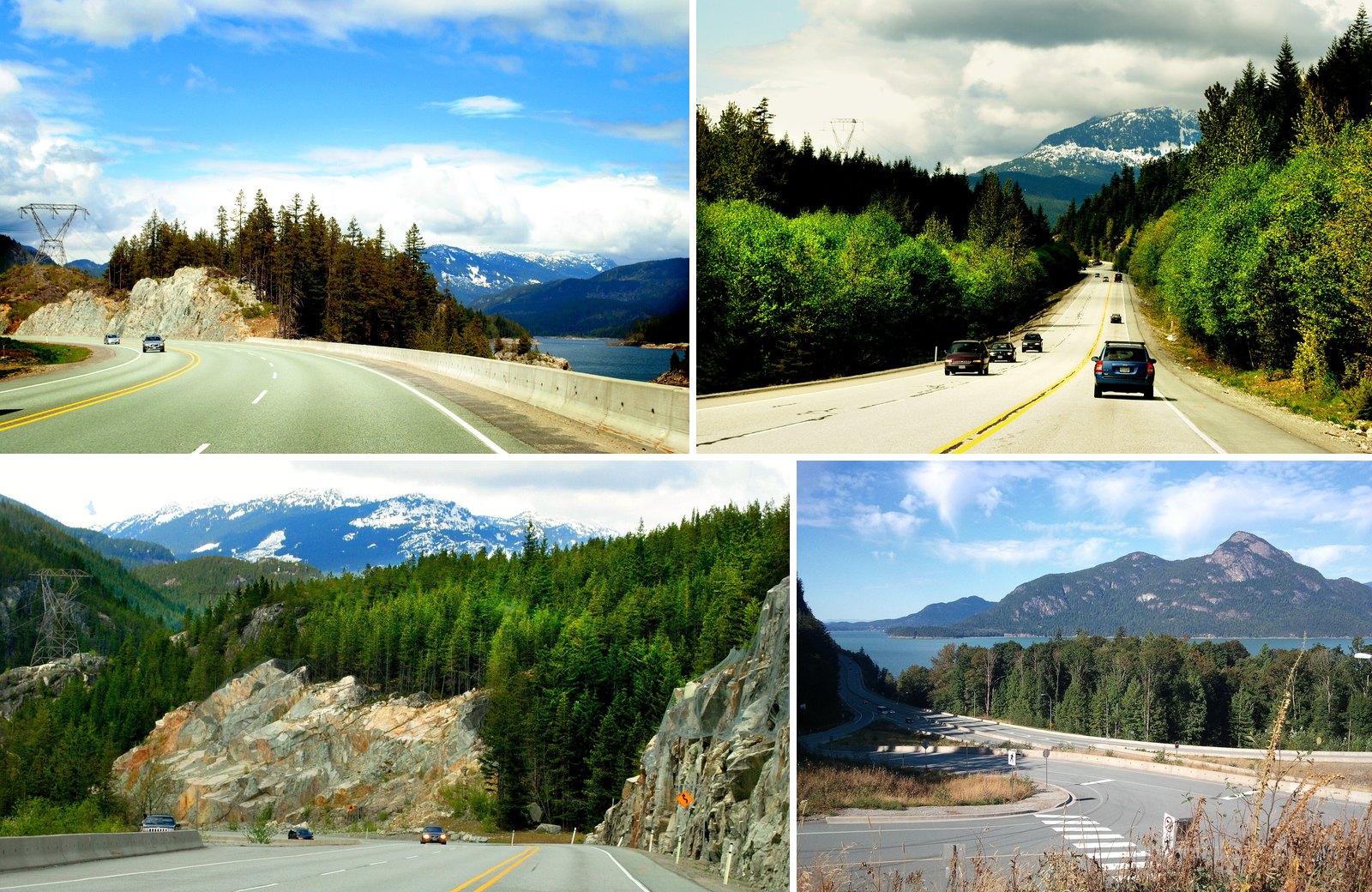
Ask around the Shore for the most beautiful drive in BC and most people will say the Sea to Sky. That’s a fair answer. Tourism Whistler notes that National Geographic voted it one of the ten most scenic drives in the world. It still isn’t No. 1 here.
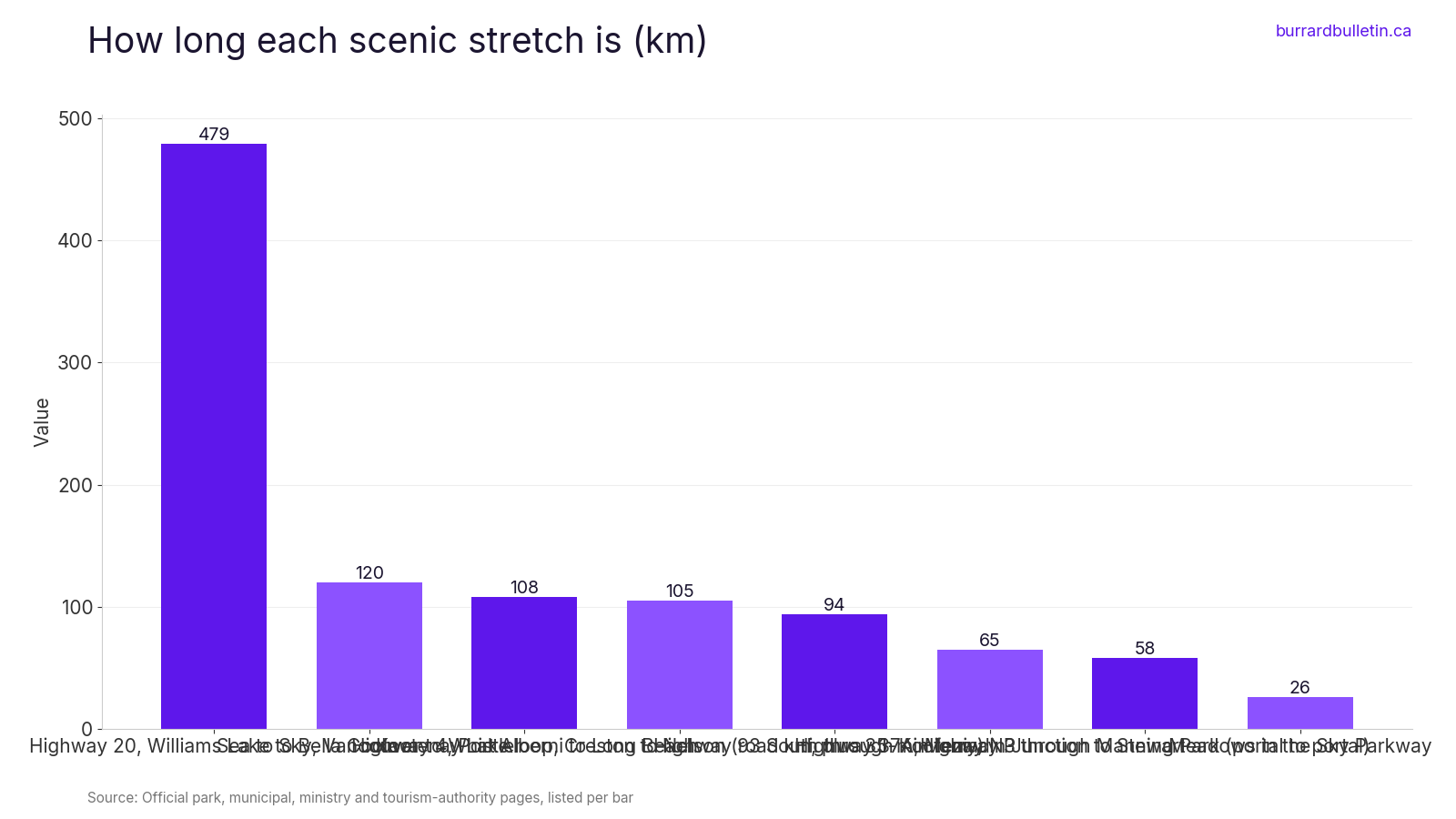
The top spot goes to a road about 65 km long in BC’s far northwest. Highway 37A runs to Stewart past more than 20 glaciers. Stewart is 1,479 km from Vancouver, about 17 hours of driving. Few people end up there by accident.
This ranking puts scenery first. It then weighs the story behind each road and what you can stop and see along it. Each entry covers the season, fees and passes, current closures and the small details that trip people up. One rule applies to nearly every drive here right now: winter tires or chains are required on most BC routes from October 1 to April 30.
10. Highway 3 through E.C. Manning Park (Cascade Mountains)
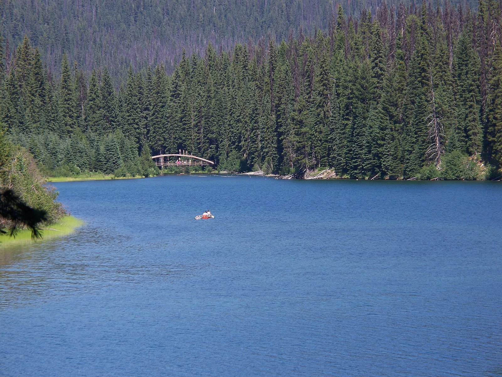
Where: Hope to Princeton on the Crowsnest Highway
When: Early June for rhododendrons, through September
Cost: Free to drive; no day-use fees listed
Getting there: Park core is 68 km east of Hope
BC Parks says Manning Park runs 58 km portal to portal, with Highway 3 going all the way through. A carved marmot marks the west portal, 26 km east of Hope. A carved bear marks the east portal, 52 km west of Princeton. The park core is 68 km east of Hope.
June is the month to go. Rhododendron Flats, 32 km west of the resort, is a 500 m loop through a stand of red rhododendrons that peak in early June. Check the BC Parks page for current visitor centre hours before you go.
In the park core, Blackwall Road climbs to Cascade Lookout in summer, but BC Parks’ October 23, 2026 trail report says the gate to Blackwall Peak is now closed for the season.
The Monument 83 trail is currently closed for construction. Hunting is allowed in the park’s MU 2-17 area (the former Cascade Recreation Area) from September 10 to June 15. Upper roads and trails open late in the season, so check the BC Parks trail report before you go.
9. Meadows in the Sky Parkway, Mount Revelstoke National Park (Revelstoke)
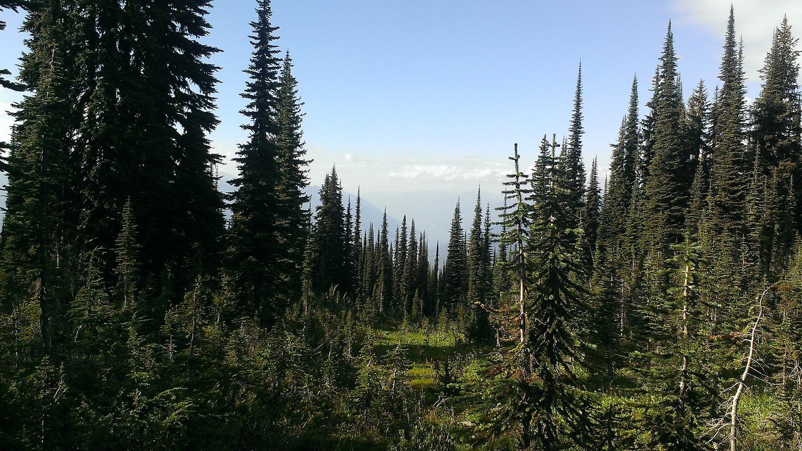
Where: Revelstoke, off Trans-Canada Highway 1
When: Summer to early fall; closed to vehicles in winter
Cost: Parks Canada pass to stop ($12.25 adult day pass)
Getting there: Starts from Highway 1 at Revelstoke
This paved road climbs 26 km from 470 m at the Trans-Canada to 1,835 m at Balsam Lake. You start in cedar and hemlock, pass through spruce and fir, and finish in subalpine wildflower meadows.
From the Balsam Lake parking area, the summit is a 1 km walk by trail or paved road. A historic fire tower stands at the top. Parks Canada says the road is narrow with tight switchbacks and summit parking is limited, so arrive early. Accessible parking at the summit is available on request at the welcome kiosk.
Dogs aren’t allowed above Columbia Viewpoint, at 12 km, not even inside your vehicle. Plan a dog-free trip or turn around there.
This is a summer to early fall drive only, since the parkway closes to vehicles in winter. For 2026 the driving season is already over: Parks Canada says the road was open only to Monashee Viewpoint (8 km) until Oct. 25, is closed above the kiosk Oct. 26–29 for brushing work, and will then open to non-motorized users only. Check the parkway status on the Parks Canada page before you go. You need a Parks Canada pass to stop.
8. Highway 20 to Bella Coola and The Hill (Chilcotin and the Bella Coola Valley)
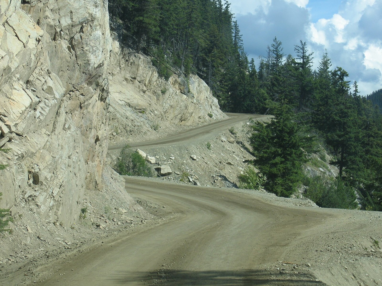
Where: Williams Lake, Chilcotin Plateau, Tweedsmuir South Park and Bella Coola
When: Summer and early fall, in daylight; grizzlies May to October
Cost: Free to drive; no day-use fee listed for Tweedsmuir South
Getting there: 479 km from Williams Lake to Bella Coola
Highway 20 runs 479 km from Williams Lake across the Chilcotin Plateau to Bella Coola. BC Parks says the highway has both gravel and paved sections. At Heckman Pass it enters Tweedsmuir South Park.
Then comes The Hill. It drops more than 1,200 m in 16 km to the Atnarko River. Residents helped build it themselves, and they named it Freedom Road. BC Parks says it’s passable year-round, with grades up to 18 percent.
BC Parks says grizzlies gather on the rivers from May to October, when salmon are running. Watch them from the Belarko Wildlife Viewing Area, not from the roadside. Belarko is open only from September 1 to 30, and BC Parks notes areas of the park are open to hunting in season.
Go in summer or early fall, in daylight and dry weather. Winter on The Hill is for experienced drivers only. Use low gear on the descent, pull into turnouts and stop to let your brakes cool. If steep drop-offs bother you, skip The Hill.
7. Duffey Lake Road, Pemberton to Lillooet (Highway 99)
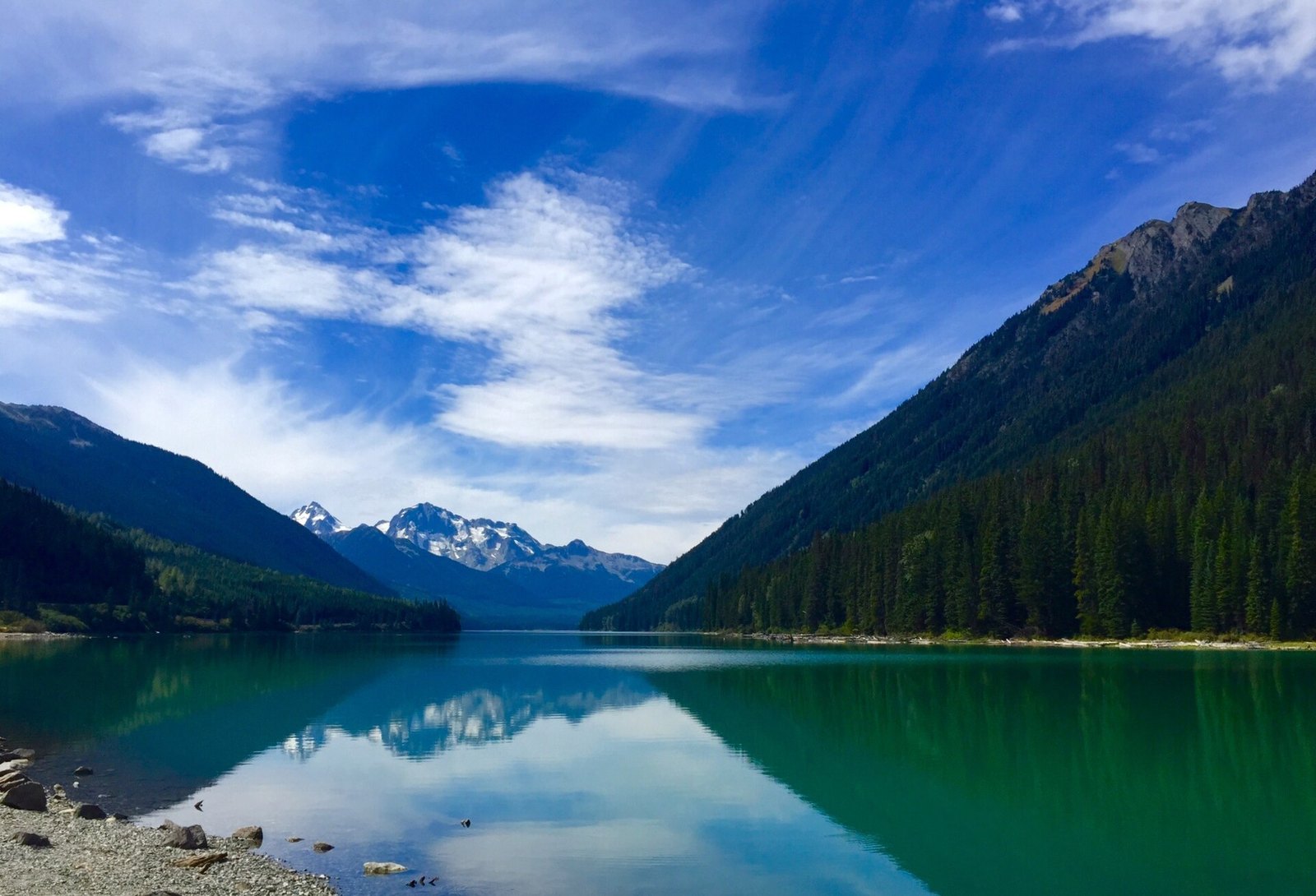
Where: Mount Currie, Cayoosh Pass, Duffey Lake and Lillooet
When: Late spring to fall
Cost: Free to drive; no fee listed at Duffey Lake; Joffre passes free but reserved in season
Getting there: About three hours from Vancouver via the Sea to Sky, Whistler and Pemberton
Past Pemberton, Highway 99 becomes the Duffey Lake Road. It climbs out of the coastal forest and drops toward the dry Fraser Canyon country around Lillooet. It’s also the natural continuation of the Sea to Sky for anyone who keeps going past Whistler.
This valley was a travel route long before it was a highway. BC Parks says the Duffey Lake and Cayoosh Creek valley connected the Lillooet First Nations on Lillooet Lake with the St’át’imc on the Fraser River. Duffey Lake Park, established in 1993, sits about 35 km east of Pemberton under Mount Rohr. It has a rough gravel boat launch for canoes and kayaks.
The road is part of the Coast Mountain Circle Tour, roughly 700 km from Vancouver, which BC Parks says takes two to four days. Late spring to fall is the best window. Just off the road, Pipi7íyekw/Joffre Lakes Park required a free BC Parks day-use pass from May 11 to October 25, 2026. It also closed June 20 to 27 and September 8 to 30, 2026 so the Lil’wat Nation and N’Quatqua could spend time on the land.
There’s no drinking water at Duffey Lake, so bring your own. Paddlers should watch for strong wind on the lake.
6. Highway 93 South through Kootenay National Park (Vermilion Pass to Radium Hot Springs)
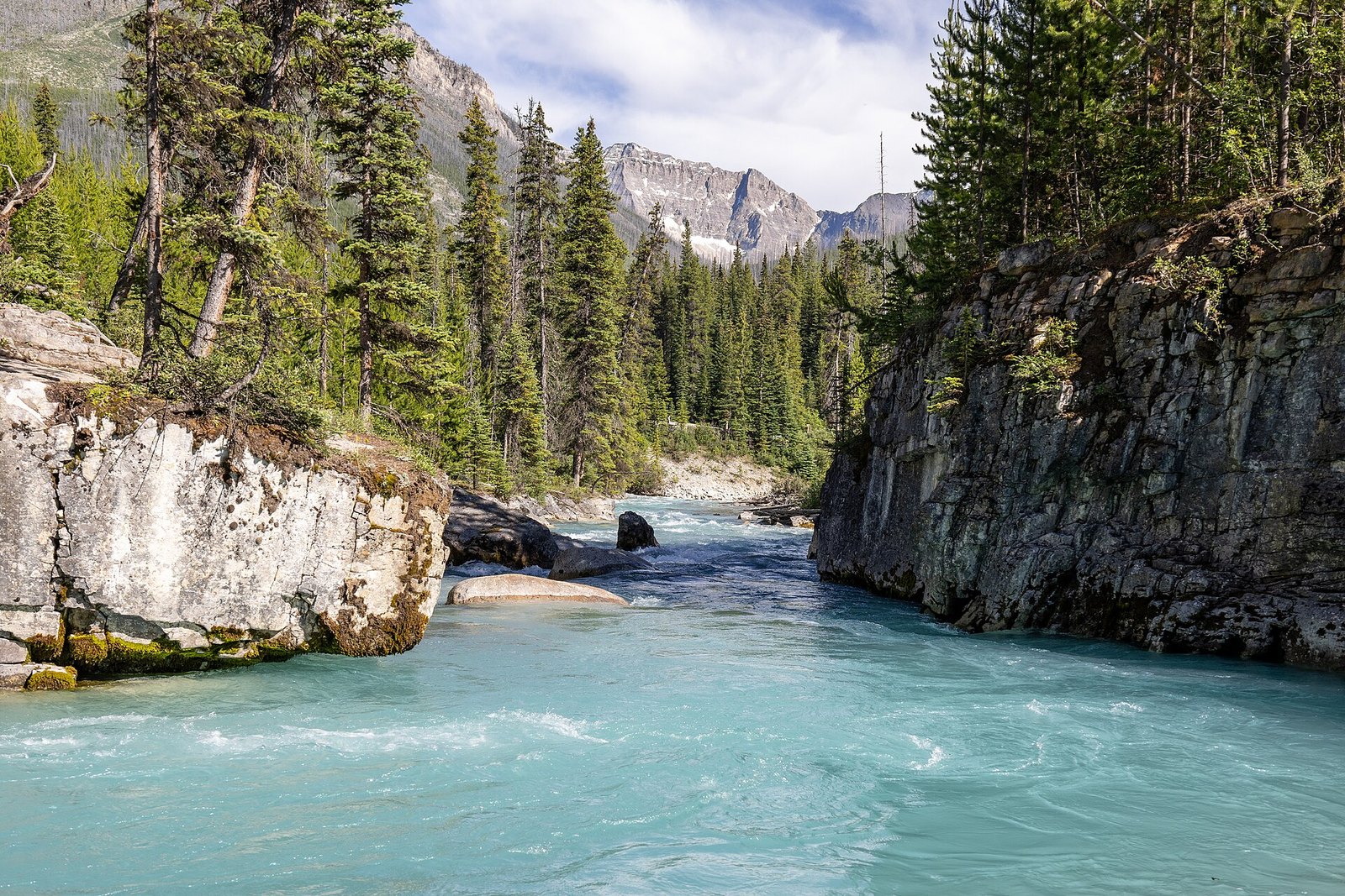
Where: Vermilion Pass (BC and Alberta border) to Radium Hot Springs
When: Construction scheduled June to October 2026; check DriveBC
Cost: Parks Canada pass to stop: $12.25 adult day pass, youth free
Getting there: South entrance at Radium Hot Springs, Highways 93 and 95
Parks Canada calls this 94 km stretch of Highway 93 a historic scenic drive. It crosses two mountain passes and several valleys between the BC and Alberta border at Vermilion Pass and the Village of Radium Hot Springs. Visitors have been driving it since 1923.
The park exists because of the road. BC handed over land along the route in exchange for the federal government building the highway. The park was created in 1920, three years before the road was finished in 1923.
The stops are short and close together: Marble Canyon, the Paint Pots, Numa Falls and the Kootenay Valley Viewpoint. At the south end, the road squeezes through red-walled Sinclair Canyon right beside the Radium Hot Springs pools.
Parks Canada’s 2026 highway work was scheduled for June to October 2026 at Sinclair Canyon, with single-lane alternating traffic and delays of up to 45 minutes at peak times. Bridge repairs near Kootenay Crossing over the same months keep two lanes open at reduced speed. Check DriveBC to see if crews are still working. There’s no cell service anywhere in the park, with emergency phones at four signed locations, so download maps and fill up in Radium or Banff.
5. The Kootenay Lake loop (West Kootenay)
Where: Creston, Kootenay Bay, Balfour, Ainsworth Hot Springs and Nelson
When: Year-round; winter schedule (one vessel) September 14, 2026 to the third week of June 2027
Cost: Ferry free; Ainsworth pools $18 adult, $50 family
Getting there: Highway 3 to Creston, then Highway 3A; the ferry is 70 km from Creston
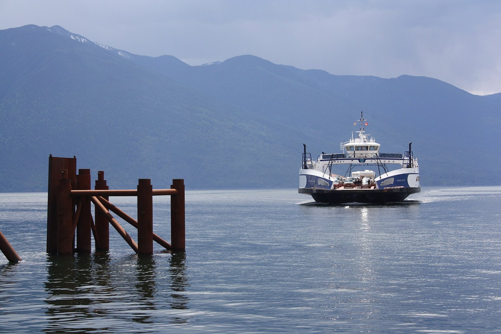
This loop runs up the east shore of Kootenay Lake on Highway 3A, crosses the lake on the inland ferry from Kootenay Bay to Balfour, then follows the west shore. DriveBC puts the ferry 35 km east of Nelson and 70 km from Creston. The crossing takes 35 minutes on the MV Osprey 2000, which carries 80 vehicles.
Nelson Kootenay Lake Tourism and Kootenay Rockies Tourism both describe the ferry as free. It’s one of the longest free ferry rides around, and it turns a lakeshore drive into a real loop instead of an out-and-back.
North of Balfour on Highway 31, Ainsworth Hot Springs has a horseshoe-shaped cave pool, a large lounging pool and a stream-fed cold plunge, all looking over the lake. Its website says the pools are first come, first served. Public pool hours are 10 a.m. to 7:30 p.m. Wednesday to Sunday (last entry 6 p.m.) and 10 a.m. to 3 p.m. Monday, with no Tuesday hours listed. Adult entry is $18 and a family pass is $50.
The ferry runs year-round. The 2026 to 2027 winter schedule started September 14, 2026 and runs until the third week of June 2027, with one vessel. Osprey 2000 leaves Balfour from 6:30 a.m. to 9:40 p.m. and Kootenay Bay from 7:10 a.m. to 10:20 p.m. With only one boat, time your drive to the posted departures.
4. Rogers Pass, Glacier National Park (Selkirk Mountains)
Where: Trans-Canada Highway 1 between Revelstoke and Golden
When: Summer and early fall; winter brings avalanche-control closures
Cost: Parks Canada pass to stop ($12.25 adult day pass)
Getting there: On Highway 1 between Revelstoke and Golden
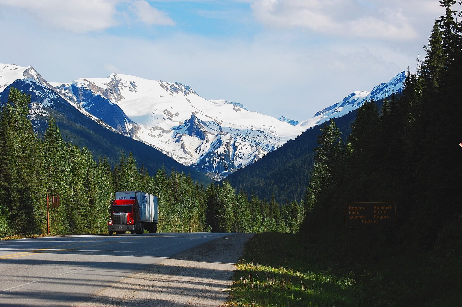
The Trans-Canada crosses the Selkirk Mountains through Glacier National Park between Revelstoke and Golden. Rogers Pass was declared a National Historic Site in 1971 for its role in building the Canadian Pacific Railway. At the summit, a monument marks the completion of the Trans-Canada Highway in 1962.
This is a road built against the snow. Parks Canada says 135 avalanche paths cross the highway corridor and up to 15 m of snow falls each winter. Parks Canada and the Canadian Armed Forces run the world’s largest mobile avalanche control program here. They fire howitzers to bring slides down while the highway is closed.
Summer and early fall are the easy months. In winter, expect closures for avalanche control. Parks Canada counts roughly 3,000 to 4,000 vehicles a day through the pass in winter, so it’s a working route, not a scenic detour.
The Rogers Pass Centre, first opened in 1984 as the Discovery Centre, is closed for a major renovation, with its exhibits and theatre shut. A reopening date hasn’t been announced. Summit Station next door opened July 10, 2025 and sells park passes, with washrooms and staff.
3. Highway 4, the Pacific Rim Highway (Vancouver Island)
Where: Parksville to Port Alberni to Long Beach, Vancouver Island
When: Year-round; Kwisitis is on winter hours (Oct. 27, 2026 to Feb. 1, 2027): 9:30 a.m. to 4:30 p.m., Friday to Monday
Cost: Parks Canada pass to stop in Long Beach: $12.25 adult, $24.50 family/group, youth 17 and under free
Getting there: Three hours from the Nanaimo ferry terminal, plus the BC Ferries crossing from Horseshoe Bay
Highway 4 crosses Vancouver Island to Tofino, Ucluelet and the Long Beach Unit of Pacific Rim National Park Reserve. It takes you from the east coast through old growth and lake country to the open Pacific. Parks Canada calls the 108 km west of Port Alberni steep and twisting and says to allow at least 90 minutes.
Cathedral Grove, in MacMillan Provincial Park, is the first big stop. Alberni Valley Tourism says some of its trees are more than 800 years old and over 80 m tall. CHEK News reported the park gets up to half a million visitors a year, and parking fills fast. Park on the side of the highway you’re travelling and don’t cross Highway 4 on foot. Early mornings and the shoulder season are your best bet.
Farther west, the 1.5 km Kennedy Hill section beside Kennedy Lake used to be a bottleneck. It was widened to two full lanes with roadside barriers, and two-way traffic resumed in 2023.
To stop anywhere in the Long Beach Unit, you need a Parks Canada pass displayed in your vehicle. The Kwisitis Visitor Centre at Wickaninnish Beach is on winter hours from October 27, 2026 to February 1, 2027: 9:30 a.m. to 4:30 p.m., Friday to Monday. Parks Canada says hours can change without notice.
2. Sea to Sky Highway, Horseshoe Bay to Whistler (Howe Sound and the Coast Mountains)
Where: West Vancouver to Squamish to Whistler
When: Year-round; winter tires or chains October 1 to April 30
Cost: Free; no fees listed at Shannon Falls, Porteau Cove or Brandywine Falls
Getting there: About two hours from Vancouver to Whistler; Shannon Falls is 58 km north of Vancouver
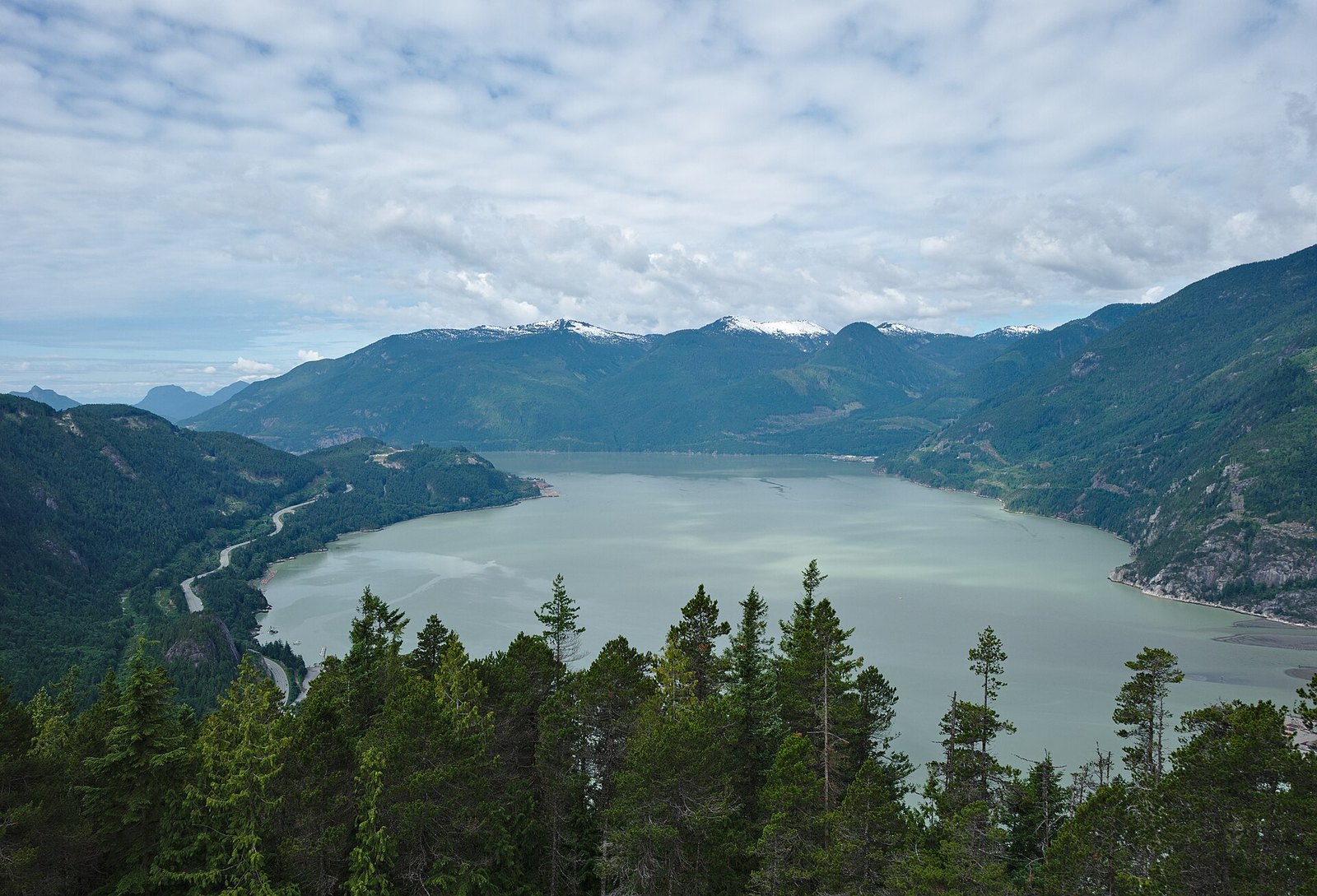
Highway 99 leaves Horseshoe Bay, follows Howe Sound and then climbs into the Coast Mountains. Whistler is 120 km north of Vancouver, about two hours according to Tourism Whistler. It’s the closest drive on this list to the city. It ranks second only because the Glacier Highway packs more ice into fewer kilometres.
The road was widened before the 2010 Olympics. TranBC says more than two million cubic metres of material were moved for the job.
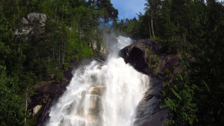
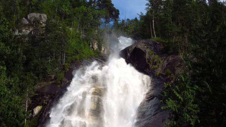
The stops are why you slow down. Porteau Cove sits on what BC Parks calls the most southerly fjord in North America. A walk of roughly 300 m leads to a lookout over Howe Sound. Shannon Falls, 2 km south of Squamish, drops 335 m beside the highway and is BC’s third-highest waterfall.
Brandywine Falls, 47 km north of Squamish, is a 70 m drop viewed from a platform on a volcanic cliff edge. Stay on the platform and marked trails. BC Parks has closed the lower falls area because of unstable slopes and falling rock, it doesn’t maintain the trails in winter, and in the off-season the park gate is closed, so you can only walk in. There’s no drinking water at Brandywine, so bring your own.
1. Highway 37A, the Glacier Highway to Stewart (Northwestern BC)
Where: Meziadin Junction to Stewart, Kitimat-Stikine
When: Summer; the route crosses 72 avalanche paths
Cost: Free to drive; no fee listed for Bear Glacier
Getting there: 1,479 km from Vancouver, about 17 hours; Terrace, the nearest transport hub, is 337 km south
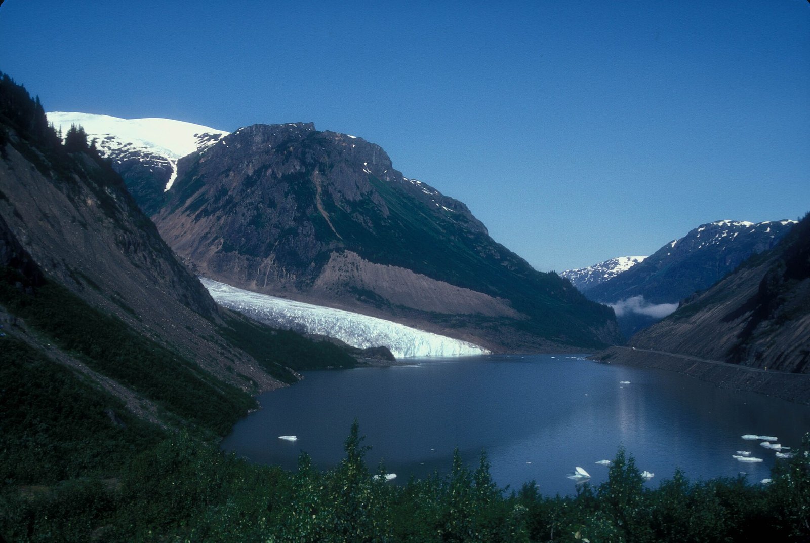
Highway 37A leaves the Stewart-Cassiar Highway (Highway 37) at Meziadin Junction and heads west to Stewart, at the head of the Portland Canal. The District of Stewart puts the road at about 65 km. Its Glacier Highway auto-tour guide counts more than 20 glaciers above the highway. One of them is Bear Glacier, which you can view from the roadside.
Bear Glacier once dammed Strohn Lake, right beside the road. It started retreating in the 1940s. In 1967 it pulled away from the valley wall, and the lake was no longer dammed, according to BC Parks. You’re looking at a glacier in the middle of a long retreat.
The side trip past Stewart is what puts this road first. The gravel Salmon Glacier (Granduc) Road runs through Hyder, Alaska, then climbs back into BC to look down on the Salmon Glacier. The District calls it the world’s largest road-accessible glacier. Its guide also warns that the road beyond the Summit Viewpoint isn’t maintained and may be closed because of active mining.
Summer is the safe window for most drivers. The District’s guide counts 72 snow avalanche paths between Meziadin Junction and Stewart. Terrace, 337 km south, is the nearest transport hub, so plan this as a multi-day road trip. On the way back from Hyder, everyone has to stop and report at the Canada Border Services office, so bring passports and check current CBSA hours before you go.
| Metric | Value |
|---|---|
| Avalanche paths crossing the highway corridor | 135 |
| Snowfall per winter | up to 15 m |
| Motorists per day in winter | about 3,000 |
| Year the Trans-Canada over the pass was completed | 1962 |
| Visitors per year to the National Historic Site (Parks Canada figure) | more than 420,000 |
When to go
The Sea to Sky, Highway 4 and the Kootenay Lake loop work year-round. Manning is best in early June, when the rhododendrons peak, through September. The Duffey Lake Road is best from late spring to fall. The Glacier Highway, Highway 20 and the Meadows in the Sky Parkway are summer drives for most people. Rogers Pass is easiest in summer and early fall, since winter brings avalanche-control closures.
Winter tires and the season you’re in now
- Winter tires or chains are required on most BC routes from October 1 to April 30.
- Some routes that don’t cross mountain passes or high-snowfall areas end on March 31.
- Signs mark the designated sections. Drivers without proper tires can be turned back and fined.
- For RVs, the minimum is M+S tires, and the province recommends carrying chains as well.
National park passes
You need a Parks Canada pass to stop at Pacific Rim, Glacier (Rogers Pass), Kootenay and Mount Revelstoke. Parks Canada’s 2026 free-admission period has ended, so regular fees apply.
- Daily admission: $12.25 adult, $10.75 senior, $24.50 family/group (up to seven people in one vehicle), free for youth 17 and under.
- Annual Discovery Pass: $83.50 adult or $167.50 family/group.
- At Pacific Rim, the pass must be displayed in your vehicle whenever you’re stopped.
Current advisories (checked October 28, 2026)
- Kootenay National Park: Highway 93 South construction was scheduled for June to October 2026, with delays of up to 45 minutes. Check DriveBC to see if crews are still working.
- Glacier National Park: the Rogers Pass Centre’s exhibits are closed during renovation. Summit Station is the temporary visitor hub.
- Fraser Canyon: Highway 1 near Boston Bar was closed from July 7, 2026 because of the Brunswick wildfire complex. It only partly reopened in late August, with no stopping in the wildfire zone. That’s why it isn’t on this list for now.
Check DriveBC before any of these drives.
What to bring
- Water.
- Offline maps. Kootenay National Park has no cell service.
- Passports, if you’re doing the Hyder and Salmon Glacier side trip from Stewart.
- Your Parks Canada pass, where you can show it.
- A full tank before Kootenay National Park, filled in Radium or Banff.
Etiquette and safety
- Use pullouts and parking lots, never the highway shoulder at busy stops.
- At Cathedral Grove, park on your side of travel. Crossing Highway 4 on foot can be unsafe.
- Watch bears from designated areas such as Belarko in Tweedsmuir South (open September 1 to 30).
- Stay behind railings at waterfall viewpoints. Brandywine’s lower falls area is closed.
- On steep grades like The Hill, use low gear and stop to let your brakes cool.
Go prepared: most of these roads cross passes or long stretches without services, so carry water, warm layers and a plan for slow traffic.
Getting there
Official sources give these drive times from Vancouver: Whistler is about two hours. Duffey Lake is about three hours. Stewart is 1,479 km away, about 17 hours.
For Highway 4, take the BC Ferries crossing from Horseshoe Bay (vehicles on the Horseshoe Bay to Departure Bay route currently need to book and pay in advance during terminal upgrades), then allow three hours from the Nanaimo terminal to the Long Beach Unit. Manning’s park core is 68 km east of Hope. The Kootenay Lake ferry is 70 km from Creston on Highway 3A. Highway 93 South starts at Radium Hot Springs, the Meadows in the Sky Parkway starts at Revelstoke, Rogers Pass sits between Revelstoke and Golden, and Highway 20 begins in Williams Lake. Plan those legs with a current map and DriveBC.
| Drive | Fee to stop | Who runs the main stops |
|---|---|---|
| Highway 37A to Stewart | No fee listed | BC Parks (Bear Glacier) |
| Sea to Sky | No fee listed | BC Parks (Porteau Cove, Shannon Falls, Brandywine Falls) |
| Highway 4 | Parks Canada pass in the Long Beach Unit | Parks Canada; BC Parks (Cathedral Grove) |
| Rogers Pass | Parks Canada pass | Parks Canada |
| Kootenay Lake loop | Ferry free; Ainsworth pools $18 adult | Province (ferry); private resort (Ainsworth) |
| Highway 93 South | Parks Canada pass | Parks Canada |
| Duffey Lake Road | No fee listed; free Joffre pass required in season | BC Parks |
| Highway 20 to Bella Coola | No fee listed | BC Parks; Belarko run with the Nuxalk Nation |
| Meadows in the Sky Parkway | Parks Canada pass | Parks Canada |
| Highway 3 through Manning | No fee listed | BC Parks |
The Sea to Sky is the one you can do before lunch. The Glacier Highway is the one you plan a summer around. Everything in between rewards the same habits: check DriveBC, carry your pass, mind the season and leave time to stop. Most of these roads are at their best when you’re not in a hurry.
Get the weekend plan in your inbox. Burrard Bulletin is a free email on what’s actually on from Vancouver to Whistler. Sign up here.
Photo credits
- Sea to Sky May 2011.jpg by D. Vincent Alongi, CC BY 2.0 (combined into a montage, cropped). Via Wikimedia Commons.
- Sea to Sky Hwy (5962858492).jpg by Vince Alongi from Delta, B.C., Canada, CC BY 2.0 (combined into a montage, cropped). Via Wikimedia Commons.
- Hwy 99 (5965627597).jpg by Vince Alongi from Delta, B.C., Canada, CC BY 2.0 (combined into a montage, cropped). Via Wikimedia Commons.
- Sea to Sky Highway and Howe Sound at Porteau Road.jpg by Ruth Hartnup, CC BY 2.0 (combined into a montage, cropped). Via Wikimedia Commons.
- Stawamus Chief Provincial Park, BC (DSCF7644).jpg by Trougnouf, CC BY 4.0 (resized; cropped for the featured image). Via Wikimedia Commons.
- BEAR GLACIER, BRITISH COLUMBIA.jpg by JERRYE AND ROY KLOTZ MD, CC BY-SA 3.0 (resized). Via Wikimedia Commons.
- Rogers Pass South.jpg by bulliver, CC BY-SA 2.0 (resized). Via Wikimedia Commons.
- Kootenay Lake Ferry.jpg by Brian A, CC BY 2.0 (resized). Via Wikimedia Commons.
- Marble Canyon, Kootenay National Park, British Columbia, 2025-07-11 02.jpg by Chris Woodrich, CC BY-SA 4.0 (resized). Via Wikimedia Commons.
- Duffey Lake (5 February 2016).jpg by Kkinsinger, CC0 (resized). Via Wikimedia Commons.
- British Columbia Highway 20, Chilcotin Highway, Heckman pass – panoramio.jpg by Qwesy, CC BY 3.0 (resized). Via Wikimedia Commons.
- Meadows sky parkway.jpg by XZ1303, CC BY-SA 4.0 (resized). Via Wikimedia Commons.
- Lightning Lake Canoe.jpg by Jonhall (talk), CC BY 3.0 (resized). Via Wikimedia Commons.