7 Waterfalls Near Vancouver That Are at Their Biggest in the Rainy Season
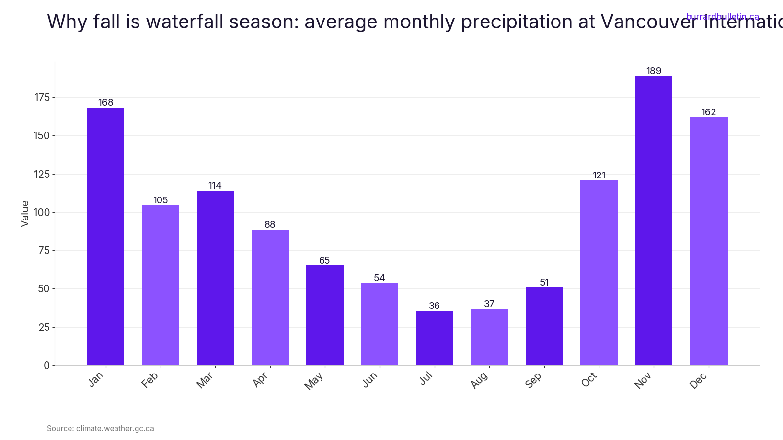
Summer gets the waterfall photos. The rain season gets the water. Using 1981 to 2010 climate normals at Vancouver International Airport, average monthly precipitation runs from 35.6 mm in July to 188.9 mm in November. That’s more than five times as much. The creeks follow the rain, and from October to January they run their fullest.
This guide covers falls from the Sea to Sky to Maple Ridge and Mission. It starts with a 335 m drop beside Highway 99 and includes a sandstone canyon you can reach in five minutes from the car. For each one you get what you’ll actually see, the story behind it, and how to get there. You also get the winter detail that trips people up: gate hours, parking rules and closures, checked against official pages.
A couple of these change a lot once the season turns. One Sea to Sky park locks its gate from November to April. Some winter details at other parks aren’t confirmed yet, and those are flagged plainly.
7. Brandywine Falls (Sea to Sky)
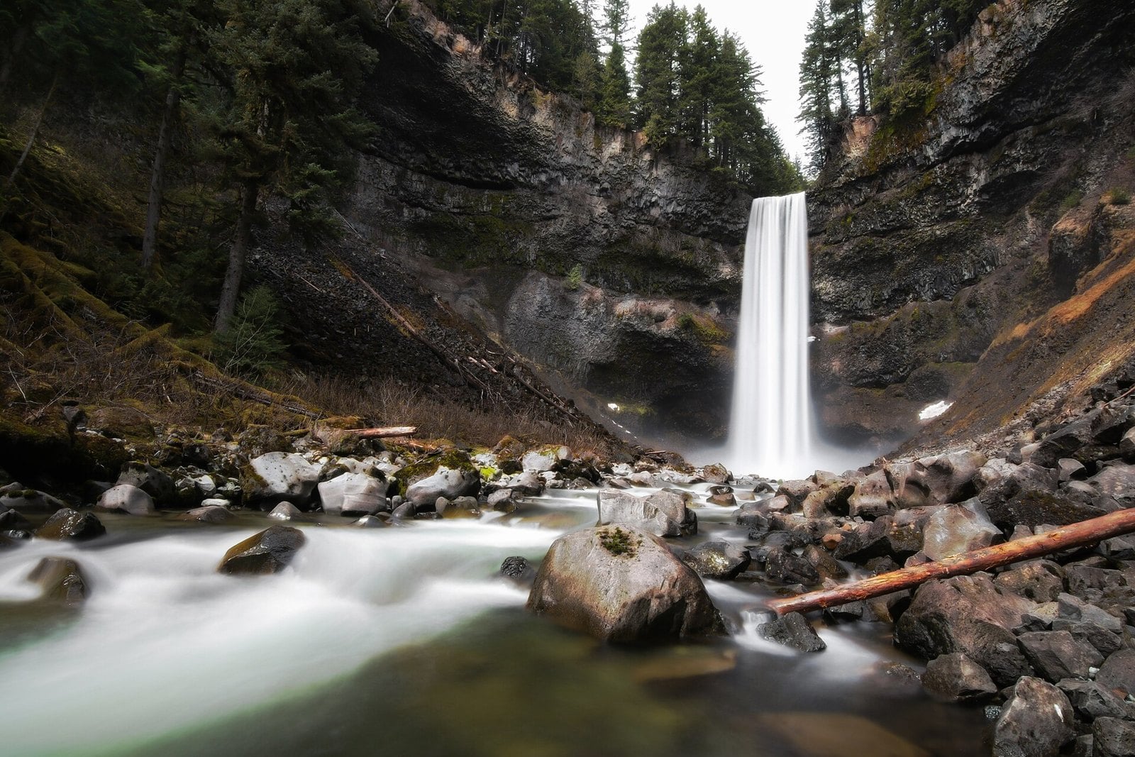
Where: Brandywine Falls Park, between Squamish and Whistler
When: Vehicle gate open May 1 to October 31; walk-in only in the off-season
Cost: Free; no day-use fees
Getting there: Off Highway 99, about 47 km north of Squamish; no legal winter parking at the gate
Brandywine Falls drops 70 m. You watch it from a viewing platform on the edge of a volcanic escarpment. In season it’s a 10 to 20 minute walk each way from the lot, across a covered footbridge and through forest. A second viewpoint looks out over Daisy Lake toward the Black Tusk.
Winter is the catch. The vehicle gate is open May 1 to October 31 only. In the off-season the gate is closed and BC Parks says you can only enter on foot. BC Parks also says the park trails aren’t maintained in winter. In 2022, Pique reported a provincial spokesperson saying the Ministry of Transportation prohibits parking outside the gate and would enforce that all winter.
In practice, this one belongs to the last weeks of October, before the gate shuts, or to May once it reopens. The park is off Highway 99, about 47 km north of Squamish. Don’t leave your car in front of the gate or on the highway.
BC Parks has closed the lower falls area because the canyon has unstable slopes and falling rock. Stay on the platform side. There’s no potable water in the park, so bring your own.
6. Nairn Falls (Pemberton)
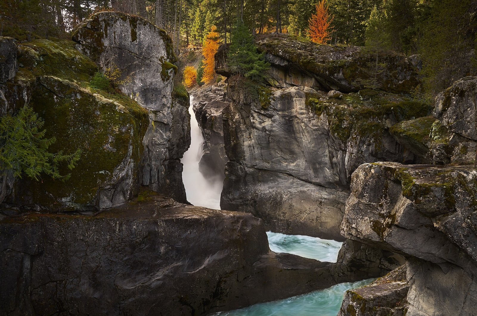
Where: Nairn Falls Park, Village of Pemberton
When: Campground season May 13 to September 30 (BC Parks lists gates open 24 hours, with operators on site 7 am to 11 pm); winter gate and parking for 2026 to 2027 not confirmed
Cost: Not confirmed on official pages
Getting there: Off Highway 99, about 20 minutes north of Whistler, five minutes from downtown Pemberton
The Green River drops 60 m at Nairn Falls. The 3 km round-trip trail from the day-use lot partly follows a traditional Lil’wat Nation route to the falls and Mount Currie. The park was established in 1966. It has long been a spiritual site for the Lil’wat Nation.
At the falls, look for potholes in the rock. Trapped stones spun around by the current drilled them out. It’s a good way to show kids how hard this river works.
BC Parks says to allow at least an hour and wear proper hiking gear. Take care along the steep banks and drop-offs. The river below runs very fast and very cold. Mountain bikes aren’t allowed on the falls trail.
The park is about 20 minutes north of Whistler and five minutes from downtown Pemberton, off Highway 99. During the operating season (the campground runs May 13 to September 30), BC Parks says the gates are open 24 hours, with operators on site 7 am to 11 pm. Winter parking arrangements for 2026 to 2027 aren’t confirmed, so check before you make the drive. Pair it with a stop in Pemberton.
5. Rolley Falls (Mission)
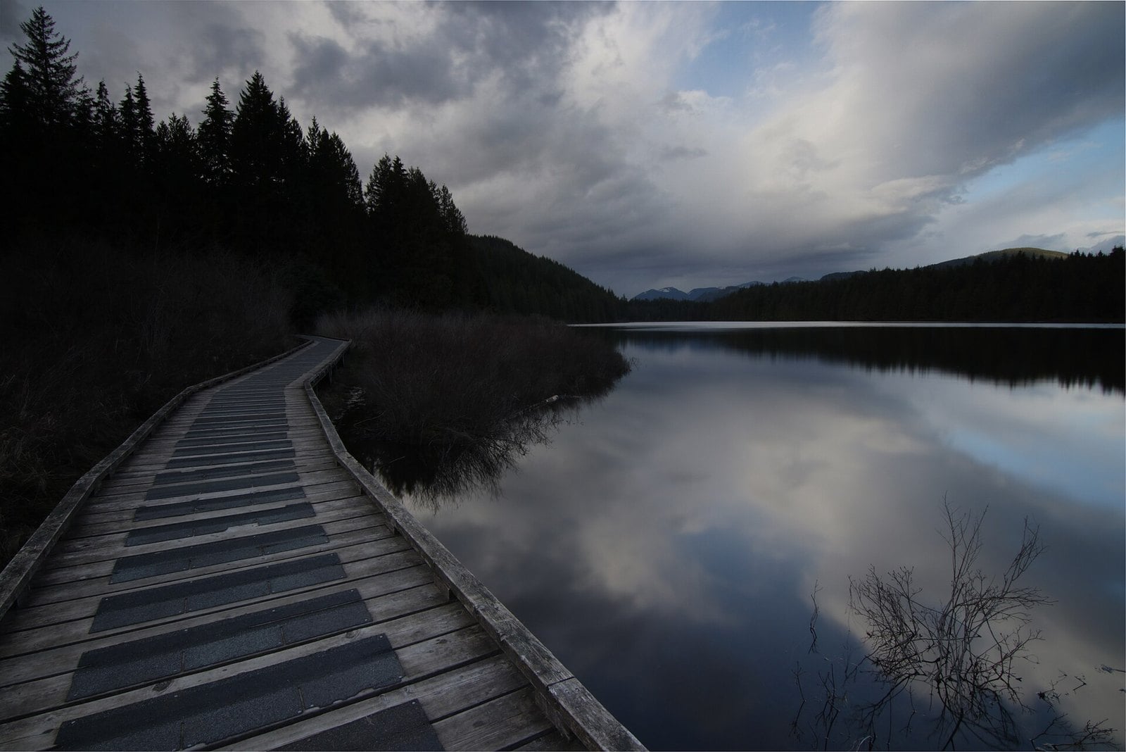
Where: Rolley Lake Park and Mission Municipal Forest, Stave Falls area of Mission
When: Year-round in principle; winter vehicle access and bridge status not confirmed
Cost: Not confirmed on official pages
Getting there: 23 km northwest of Mission; Dewdney Trunk Road to Bell Street, north to the park
BC Parks says Rolley Lake Park is less than an hour’s drive from Vancouver. It lists two short trails: the Lakeside Loop at about 40 minutes return and Rolley Falls at about 10 minutes. The City of Mission runs the Rolley Falls Trail as a 1.4 km loop. It starts from the north end of the Rolley Lake trail.
Mission describes the trail as moderately steep, with several viewing platforms along Rolley Creek. Its guided hike notes say the larger, more impressive lower falls can be seen from two of those platforms. The trail runs through a working forest and can close temporarily for forestry work.
The park is 23 km northwest of Mission. Turn off Dewdney Trunk Road onto Bell Street and drive north to the park. Park at the south end near the day-use area. Winter vehicle access and parking fees weren’t confirmed on official pages.
Check before you drive out. A trail-alert notice posted in June 2026 says the Rolley Falls Trail bridge is closed until it can be repaired or replaced, though the City of Mission’s trail page doesn’t mention it. Call the City of Mission (604-820-3700) before you go. Mission also cancelled its own November 2025 guided hike here because of slippery trail sections. Wear shoes with real grip.
4. Lower Gold Creek Falls (Golden Ears)
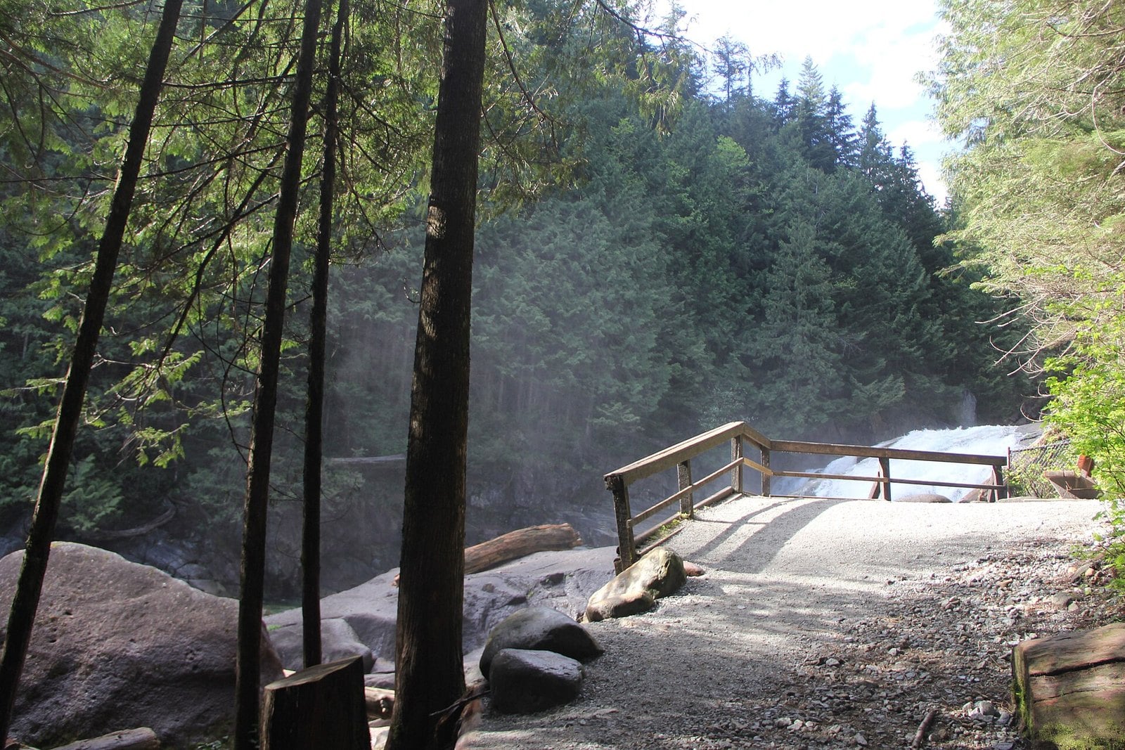
Where: Golden Ears Park, Maple Ridge
When: Year-round; winter gate hours not confirmed officially
Cost: Free; no day-use pass needed outside the summer pass season
Getting there: Park road through Golden Ears Park to the Gold Creek day-use lot
This one is about the walk as much as the falls. BC Parks’ trail report describes an easy, popular 2.6 km walk along Gold Creek from the Gold Creek parking lot. It takes about an hour, with 87 m of elevation gain. At the end are the 10-metre Lower Falls. The trail stays beside the creek most of the way, so you see the high water the whole time, not just at the falls.
BC Parks asks hikers to stay on the trail and out of the gullies. That matters more when the creek is up and the banks are soft.
Drive through Maple Ridge into Golden Ears Park and follow the park road to the Gold Creek day-use lot. Day-use passes were needed only in peak season. In 2026 that ran May 15 to September 7, Friday to Monday until 3:30 pm. You don’t need a pass in November.
Winter gate hours weren’t confirmed on an official page, and other sources disagree. Check with BC Parks before you go, and plan to be back at the car well before dark.
3. Cliff Falls (Maple Ridge)
Where: Kanaka Creek Regional Park, Maple Ridge
When: Year-round in daylight; earliest posted gate closing 5 pm
Cost: Not confirmed on official pages
Getting there: Off Dewdney Trunk Road; lot at 251 Street and 116 Avenue
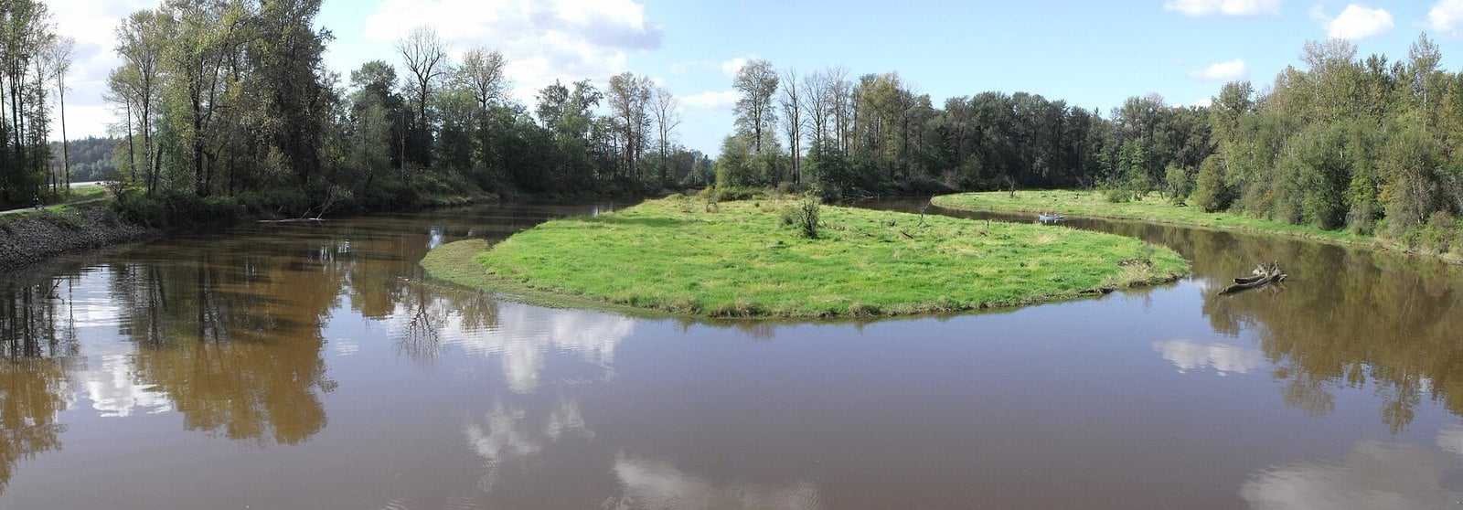
Kanaka Creek cuts a sandstone canyon here. Metro Vancouver’s park brochure describes falls on both the north and south arms of the creek. The City of Maple Ridge calls Cliff Falls the focal point of the park. The park covers 400 hectares along 12 km of the creek. The falls are about a five-minute walk along the Canyon Trail from the Cliff Falls parking area.
This is a working salmon stream, and that’s the reason to come in fall. Metro Vancouver says the stretch of creek between 240th Street and Cliff Falls is the park’s most critical salmon habitat. The Bell-Irving Hatchery is also in the park.
From Highway 7 through Maple Ridge, turn onto Dewdney Trunk Road. The Cliff Falls lot is at the corner of 251 Street and 116 Avenue. The park is open year-round in daylight. Hours are posted at each entrance, the earliest closing time is 5 pm, and gates are locked when the park is closed. Parking fees weren’t confirmed on an official page.
Dogs are welcome but must be leashed and under control. Cliff Falls is not wheelchair-accessible. Metro Vancouver warns of steep cliffs along the creek, especially at Cliff Falls. The rock gets slick in the rain, so keep kids close and stay well back from the edge.
2. Lynn Canyon (North Vancouver)
Where: Lynn Canyon Park, District of North Vancouver
When: Daily, dawn to dusk; lot gate hours vary by season
Cost: Park and bridge free; parking $3/hour (4-hour maximum) March 1 to October 31 only
Getting there: End of Peters Road, Lynn Valley (3663 Park Road)
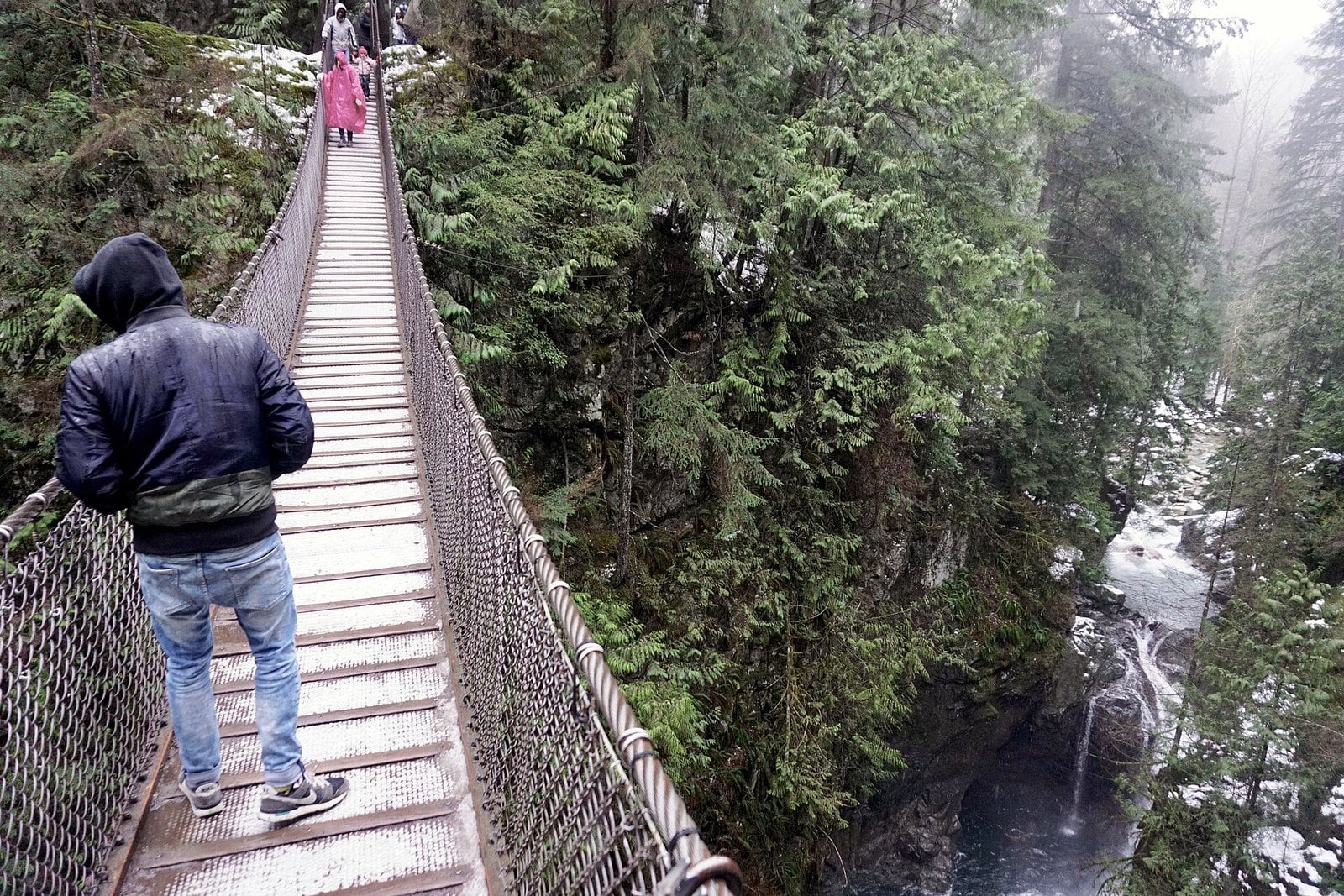
The Lynn Canyon Suspension Bridge hangs 50 m above Lynn Creek. That’s about the height of a 15-storey building. From the deck you look straight down onto the falls and pools in the canyon. Twin Falls, the park’s other well-known waterfall viewpoint, is downstream of the bridge. In a wet week the creek through here is loud.
The park opened in 1912. Back then people paid 10 cents to cross the bridge. Today the park and the bridge are free. The District of North Vancouver runs the park and the Lynn Canyon Ecology Centre. From October to mid-April the Ecology Centre is open 10 am to 4 pm on weekdays and noon to 4 pm on weekends.
It’s about a two-minute walk from the main lot to the bridge. Roughly 30 steps lead down to it, so it isn’t stroller- or wheelchair-accessible. The Ecology Centre is at the end of Peters Road in Lynn Valley, at 3663 Park Road. The park is open daily from dawn to dusk, and parking-lot gate hours change with the seasons.
Pay parking runs only March 1 to October 31, so parking is free in November. Details are on the Ecology Centre’s visit page. Go on a weekday morning, when the summer crowds are gone. Read the gate closing time on the sign before you start a longer loop so you don’t get locked in.
1. Shannon Falls (Squamish)
Where: Shannon Falls Park, 2 km south of Squamish
When: Open year-round; vehicle gate closed 10 pm to 7 am; reduced services in winter
Cost: Free, no day-use fees
Getting there: Off Highway 99, 58 km north of Vancouver, next to Stawamus Chief Park
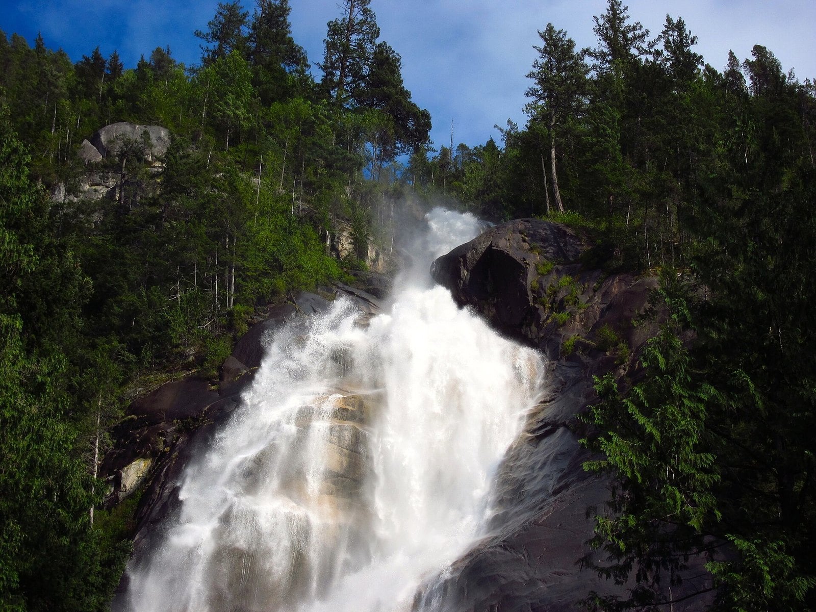
Shannon Creek drops 335 m down a series of granite cliffs right beside Highway 99. BC Parks calls it the third-highest waterfall in B.C. The water comes off Mount Habrich and Mount Sky Pilot. An easy trail of about 350 m takes you to two viewing platforms. That makes it the biggest drop in this guide for the least walking.
The ground here has a long history. Captain George Vancouver camped just west of the falls in 1792. Later the land was used for brickmaking, then sold to Britannia Copper Mines. In the 1930s it held a relief camp for the workers building Highway 99. The Squamish Nation tells of Say-noth-ka, a two-headed sea serpent who wore down the spillway by slithering up the mountainside.
The park stays open in winter with reduced services. Full service runs March 15 to October 15. The building restroom is open May 15 to Thanksgiving, so expect limited facilities in November. The vehicle gate is closed from 10 pm to 7 am. BC Parks warns that trail and stair treads get slippery in winter and that falling ice is a hazard, so watch your footing and your head.
The park sits right off Highway 99, 58 km north of Vancouver and 2 km south of Squamish, next to Stawamus Chief Park. Park in the lots. Cars on the highway shoulder get towed. BC Parks says the lots are extremely vulnerable to break-ins, so leave nothing in the car. Dogs must be on a leash at all times. If the platforms are crowded, add a walk at the Chief next door.
| Falls | Walk | Parking | Winter status |
|---|---|---|---|
| Shannon Falls | ~350 m to viewpoints | Free | Open, reduced services; gate closed 10 pm–7 am |
| Lynn Canyon | ~2 min to suspension bridge (30 steps) | Free Nov–Feb ($3/h Mar 1–Oct 31) | Open dawn to dusk |
| Cliff Falls (Kanaka) | ~5 min on Canyon Trail | Unverified | Open; earliest gate close 5 pm |
| Lower Gold Creek Falls | 2.6 km each way | No pass needed off-season | Gate hours: check BC Parks |
| Rolley Falls | 1.4 km loop (moderately steep) | Unverified | Bridge status unverified |
| Brandywine Falls | 10–20 min each way in season | Gate closed Nov–Apr | Walk-in only |
| Nairn Falls | 3 km round trip | Unverified | Unverified for 2026–27 |
When to go
Using 1981 to 2010 normals at Vancouver International Airport, November is the wettest month at 188.9 mm. January follows at 168.4 mm, then December at 161.9 mm. July is the driest at 35.6 mm. Low-elevation, rain-fed creeks such as Lynn, Kanaka and Rolley are the most reliable picks from October to January.
The Sea to Sky falls are higher up and also take snowmelt, so they can run big in spring too. During and just after a heavy rain is when the low-elevation creeks show the most.
Gates and getting locked in
- Shannon Falls: gate closed 10 pm to 7 am.
- Lynn Canyon: check the posted gate closing time at the parking lot before setting out on a longer loop.
- Kanaka Creek: hours posted at each entrance, earliest closing 5 pm.
- Golden Ears: winter gate hours not confirmed officially, so check BC Parks first.
- Brandywine: gate closed all off-season, entry on foot only, no legal parking outside the gate.
- Nairn: winter gate hours and parking were not confirmed on an official page, so check the BC Parks Nairn Falls page before you go.
Parking and fees
Shannon Falls has no day-use fees. Lynn Canyon’s pay parking ($3 per hour, 4-hour maximum) runs only March 1 to October 31, so November is free. Golden Ears day-use passes are a summer thing only. Brandywine has no day-use fees, though its gate is closed until May 1. Parking fees at Kanaka Creek, Rolley Lake and Nairn weren’t confirmed on official pages.
At Shannon, use the park lots rather than the highway shoulder, and note that BC Parks warns the lots are extremely vulnerable to break-ins. Leave nothing visible in the car anywhere on this list.
Safety in high water
High water is the point, and it’s also the risk. Stay behind railings and on marked trails.
- Shannon: BC Parks warns of slippery rocks and river edges, slippery stair treads in winter, and falling ice.
- Kanaka Creek: steep cliffs, especially at Cliff Falls.
- Brandywine: the lower falls canyon is closed because of unstable slopes and falling rock.
- Nairn: steep banks above a river that runs very fast and very cold.
- Rolley: brief steep sections that get slippery in wet weather.
Brandywine and Nairn can see snow and ice from late fall. Go prepared, and turn around if the footing looks wrong.
What to bring
- A rain shell.
- Shoes with good grip.
- A headlamp. November light fades by late afternoon and several gates close at dusk.
- Microspikes for the Sea to Sky sites once snow arrives.
- Drinking water. BC Parks says there’s none at Brandywine.
- A leash. It’s required at Shannon and Kanaka Creek.
Why Bridal Veil Falls isn’t here
Bridal Veil Falls near Chilliwack would normally make a list like this. The park operator lists its gate season as April 1 to October 31. The operator has also posted that access trails to the falls are temporarily closed after a rockfall. In cold winters, BC Parks warns the falls can freeze into an unstable wall of ice. Check back in spring.
| Falls | Height | What the number measures |
|---|---|---|
| Shannon Falls | 335 m | Height above Highway 99 |
| Brandywine Falls | 70 m | Height of the falls |
| Nairn Falls | 60 m | Height of the falls |
| Lynn Canyon | 50 m | Suspension bridge above Lynn Creek |
| Lower Gold Creek Falls | 10 m | Height of the Lower Falls |
The rainy months make for the best waterfalls of the year. Shannon and Lynn Canyon are the easy wins: short walks, open in winter, and Lynn Canyon is free to park in November. Cliff Falls and Lower Gold Creek give you more creek for a bit more effort. Rolley and Nairn are worth a call or a check online before you drive. Brandywine waits for its gate to reopen on May 1. Pick a day after a good soaking, watch the gate times, and keep a headlamp in your pocket.
Get the weekend plan in your inbox. Burrard Bulletin is a free email on what’s actually on from Vancouver to Whistler. Sign up here.
Photo credits
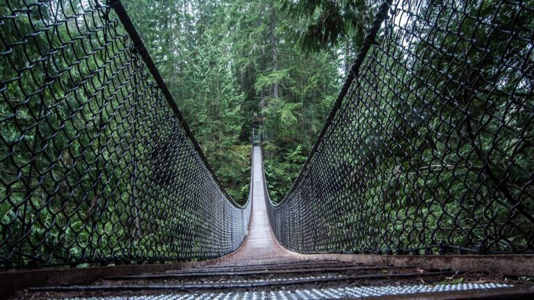
- Waterfalls, Provincial Court of British Columbia (48868754677).jpg by GoToVan from Vancouver, Canada, CC BY 2.0 (combined into a montage, cropped). Via Wikimedia Commons.
- Waterfalls, Provincial Court of British Columbia (48868556391).jpg by GoToVan from Vancouver, Canada, CC BY 2.0 (combined into a montage, cropped). Via Wikimedia Commons.
- Waterfalls, Provincial Court of British Columbia (48868036528).jpg by GoToVan from Vancouver, Canada, CC BY 2.0 (combined into a montage, cropped). Via Wikimedia Commons.
- Waterfalls, Provincial Court of British Columbia (48868036613).jpg by GoToVan from Vancouver, Canada, CC BY 2.0 (combined into a montage, cropped). Via Wikimedia Commons.
- Shannon Falls Provincial Park 04.jpg by Natulive Canada, CC BY-SA 4.0 (resized; cropped for the featured image). Via Wikimedia Commons.
- Lynn Canyon Suspension Bridge 2016.jpg by kallerna, CC BY-SA 4.0 (resized). Via Wikimedia Commons.
- Kanaka Creek Oxbow – panoramio.jpg by Kiwibirdman, CC BY 3.0 (resized). Via Wikimedia Commons.
- Lower Falls Trail-Gold Creek, Golden Ears Provincial Park 85.JPG by ~riley, CC BY-SA 4.0 (resized). Via Wikimedia Commons.
- Rolley Lake Boardwalk.jpg by Kaden Van Buren, CC BY-SA 4.0 (resized). Via Wikimedia Commons.
- Brandywine Falls Whistler.jpg by Kaden Van Buren, CC BY-SA 4.0 (resized). Via Wikimedia Commons.
- Autumn in Nairn Falls.jpg by mpslxz, CC BY-SA 4.0 (resized). Via Wikimedia Commons.