Secret Beaches Around Vancouver Locals Keep to Themselves
Most of these beaches have no sign on the highway. You reach them by forest trail, steep cliff paths, a long jetty or a side road most people drive past at speed. That is the whole reason they stay quiet.
This covers coves and shorelines from Belcarra and Indian Arm, across Point Grey and Richmond, along the West Vancouver waterfront and up Howe Sound to Lions Bay and Porteau Cove. For each one you get what you’ll find, how to get there, where to park, the dog rules and the tide or timing details that matter.
Fall is when you’re most likely to have them to yourself. It also brings a practical bonus: Belcarra’s seasonal pay parking ended September 30, so the lots there are free until April 1.
| Beach | How you get down | Dogs | Facilities |
|---|---|---|---|
| Jug Island | Forest trail, 5.5 km return, steep last descent | Leashed on trails | Washrooms at picnic area |
| Admiralty Point | Flat shoreline trail, about 2 km | Leashed on trails | Washrooms near trail start |
| Tower Beach | Steep Trail 3 or 4 | Check posted rules | Nearest toilets at Trail 6 or Acadia |
| Acadia Beach | Short walk, no steep trail | Check posted rules | Toilets |
| Iona Beach | Drive in; 4 km jetty | Leashed except lower road on Iona Jetty | Accessible washrooms at South Marsh |
| Lighthouse Park coves | Forest trails; 25-minute climb back | Not on beaches | Birdsong Path is accessible |
| Caulfeild Cove | Waterfront trail | Not on beaches | Few amenities; no lifeguards |
| Whytecliff | Short walk; islet at low tide only | Not on beaches | Washrooms 7 a.m. to 9 p.m.; café |
| Cates/Little Cates | Malcolm Lowry Trail | Not on beaches | Construction areas in fall 2026 |
| Kelvin Grove | Trail from lot below highway | Off-leash area | Picnic area |
| Brunswick Beach | Walk in or bus 262 | Not allowed | None |
| Porteau Cove | Day-use area; short lookout trail | Not listed | Outdoor shower Mar 1 to Nov 12 |
12. Cates Park/Whey-ah-Wichen and Little Cates (North Vancouver)
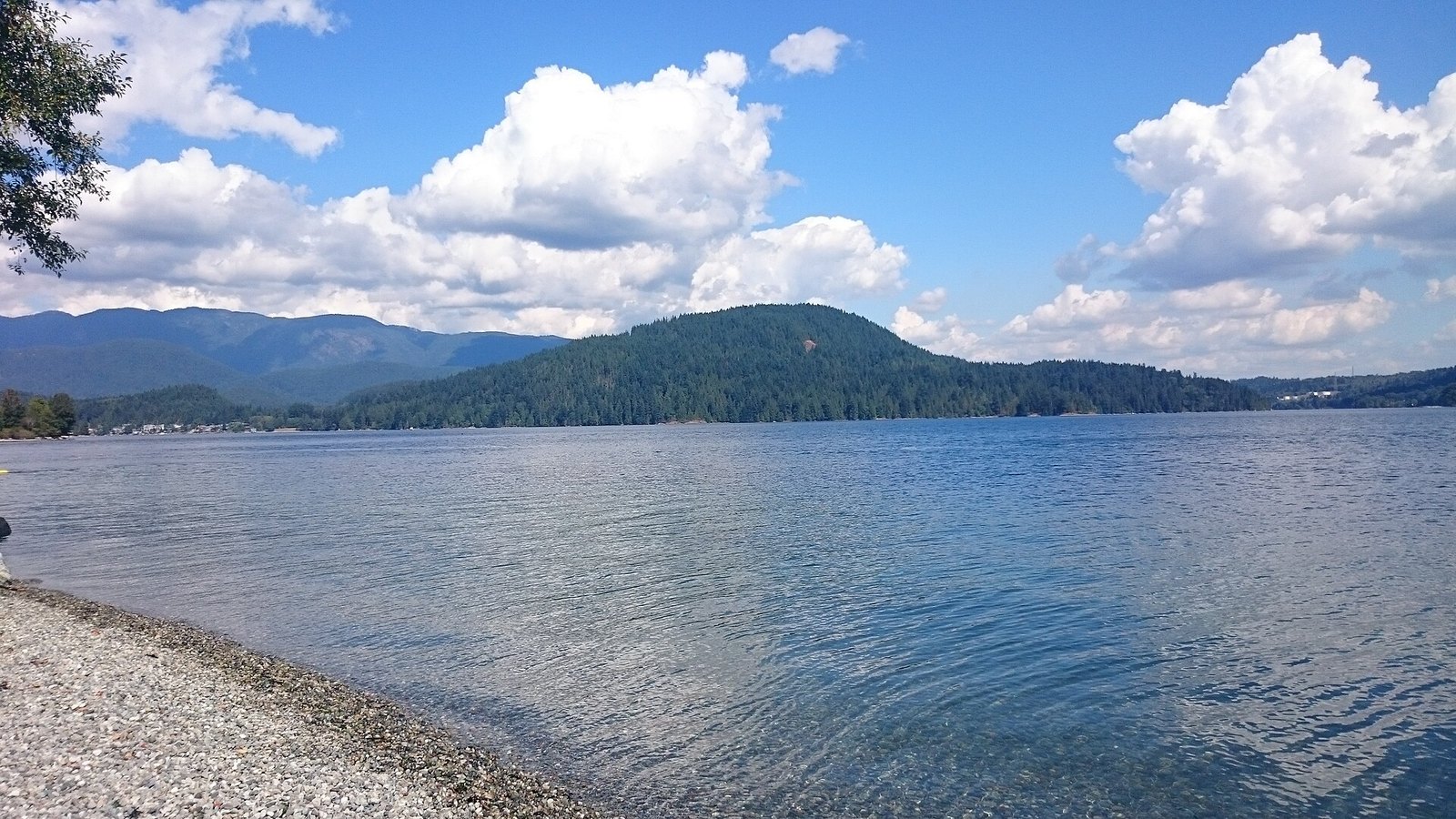
Where: 4141 Dollarton Highway, Dollarton
When: All year; overnight shoreline work in October 2026
Cost: Free; parking rules not confirmed
Getting there: Dollarton Highway; transit access is limited
Cates Park faces Burrard Inlet and the mouth of Indian Arm, across the water from Belcarra. The main lawn draws the crowds. The quieter pocket beaches are along the Malcolm Lowry Trail toward Little Cates Park.
The park is jointly managed by the District of North Vancouver and the Tsleil-Waututh Nation. A shoreline adaptation and restoration project covering roughly 1.3 km is underway, according to the Port of Vancouver permit.
This fall, that work affects the quiet end. The District says overnight shoreline restoration is happening at East Beach and Little Cates throughout October 2026. Expect construction areas through the fall. The District’s project page has updates.
The address is 4141 Dollarton Highway. Transit access is limited, and parking rules aren’t confirmed. Dogs aren’t allowed on District beaches.
11. Porteau Cove (Howe Sound)
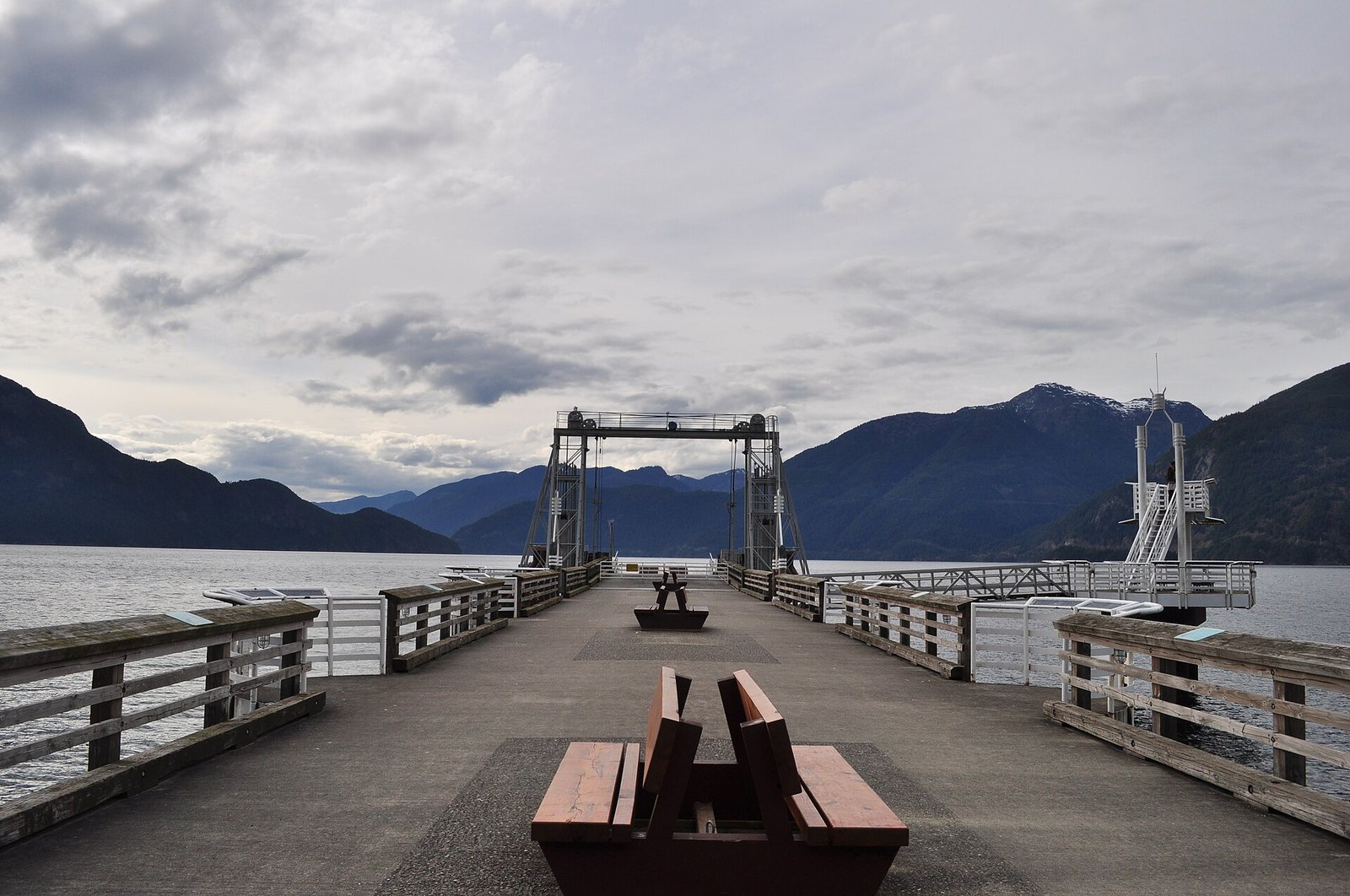
Where: Highway 99, between Lions Bay and Britannia Beach
When: All year; day use closes 11 p.m.
Cost: Day-use fee not confirmed
Getting there: Highway 99 north, 30 km from Horseshoe Bay
Porteau Cove’s day-use beach is rock and pebbles, with big driftwood logs and a short trail to a lookout. Offshore, sunken vessels and artificial reefs draw divers.
BC Parks says the park sits on the most southerly fjord in North America. Fishing and taking any marine life aren’t allowed.
Follow Highway 99 north. The park map puts it 30 km from Horseshoe Bay, between Lions Bay and Britannia Beach. The day-use area closes at 11 p.m. The outdoor shower in the day-use area runs March 1 to November 12. Winter camping services are limited. Day-use fees aren’t confirmed, so check the BC Parks Porteau Cove page.
Wear beach shoes for the pebbles. If you come for the night sky, stay in the day-use area. You can’t go into the campground just to stargaze.
10. Brunswick Beach (Lions Bay)
Where: North end of Lions Bay
When: All year
Cost: Free, but no visitor parking
Getting there: TransLink route 262 or on foot
Brunswick Beach is a secluded natural beach in the north end of Lions Bay, looking out over Howe Sound. It has no facilities at all. It stays quiet because you basically can’t drive to it.
The neighbourhood is resident-permit parking only, and visitors can’t park on Brunswick Beach Road. The way in is TransLink route 262 or your own feet, using the Brunswick Road exit area. There are no washrooms, so bring everything you need and take it all home.
9. Kelvin Grove Beach (Lions Bay)
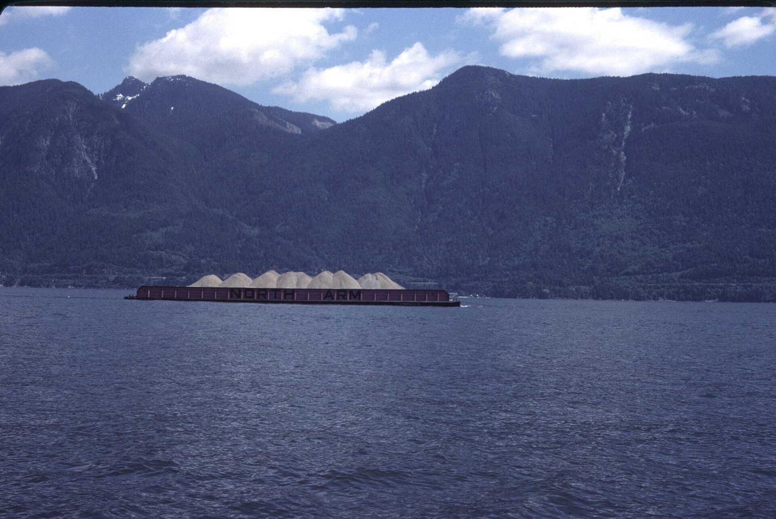
Where: Foot of Tidewater Way, Lions Bay
When: All year; parking enforced daily
Cost: $3/hr up to $24/day, 3-day maximum
Getting there: Kelvin Grove exit off the Sea to Sky, or TransLink route 262
Kelvin Grove is the southernmost beach in Lions Bay, below the Sea to Sky. A trail leads down to natural beaches, a community garden and a picnic area. The Village promotes it for sunsets over Howe Sound.
Two things set it apart. It’s an off-leash dog area, which is rare on this stretch of coast. The Village also says it offers superb diving for all skill levels.
Take the Kelvin Grove exit off the Sea to Sky Highway. The park is at the foot of Tidewater Way, with about 24 stalls above the rail line. Parking is $3 an hour up to $24 a day, with a three-day maximum and enforcement seven days a week. The Lions Bay parking page has the details.
Don’t park on the on-ramps or off-ramps. By transit, the Village says its beaches are a short walk from TransLink route 262 stops. At highway speed the whole village goes by quickly, so watch for the exit.
8. Acadia Beach (Point Grey)
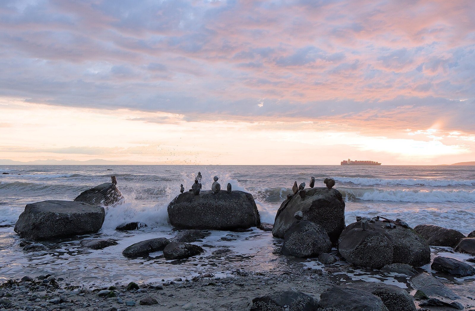
Where: NW Marine Drive, just west of Spanish Banks
When: All year; sunsets best late spring to early fall
Cost: Free; lot rules not confirmed
Getting there: 4th Avenue to NW Marine Drive, past Spanish Banks
Acadia is the one Pacific Spirit beach without a steep trail down. It’s also the only stretch of the park’s foreshore that isn’t clothing-optional. Destination Vancouver calls it the easiest to reach, a short walk from Spanish Banks.
This is where the natural rock and cobble shoreline begins, and where the rocky route west toward Tower Beach starts. The same low-tide caution applies if you head that way.
Go west on 4th Avenue, then NW Marine Drive past Spanish Banks. There’s a small lot on NW Marine Drive. Its rules aren’t confirmed, so read the signs. There are toilets here.
Sunsets are best from late spring to early fall. For families who want Point Grey views without the stairs or the nudity, this is the pick.
7. Caulfeild Cove (West Vancouver)
Where: Caulfeild, West Vancouver, next to Lighthouse Park
When: All year; no lifeguards
Cost: Free; parking rules not confirmed
Getting there: Marine Drive west to the Caulfeild neighbourhood, just east of Lighthouse Park
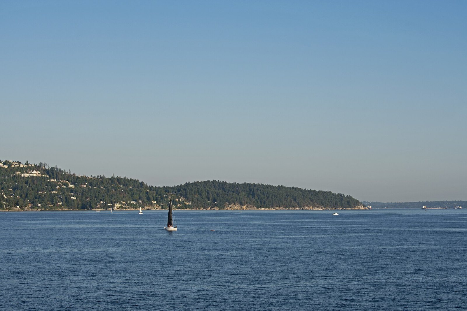
Caulfeild Park is a narrow strip of shoreline with sandy pocket beaches, a waterfront trail and calm, sheltered water. West Vancouver admits it’s short on facilities. The views and the walk make up for it.
A small piece of trivia for tide watchers: the official Point Atkinson tide station, number 07795, is listed by the Canadian Hydrographic Service under the alternative name Caulfeild Cove. The tide table most guides send you to is measured right here.
It’s a popular summer swimming spot. There are no lifeguards. Dogs aren’t allowed on the beaches.
Take Marine Drive west into the Caulfeild neighbourhood, just before (east of) the Lighthouse Park turnoff. Parking rules aren’t confirmed, so read the signs when you arrive.
6. Tower Beach (Point Grey)
Where: Below NW Marine Drive, Pacific Spirit Regional Park
When: 7 a.m. to sunset; go at low tide
Cost: Free; parking rates not confirmed
Getting there: Trails 3 or 4 from NW Marine Drive; buses on 4th Ave/Chancellor and University Blvd
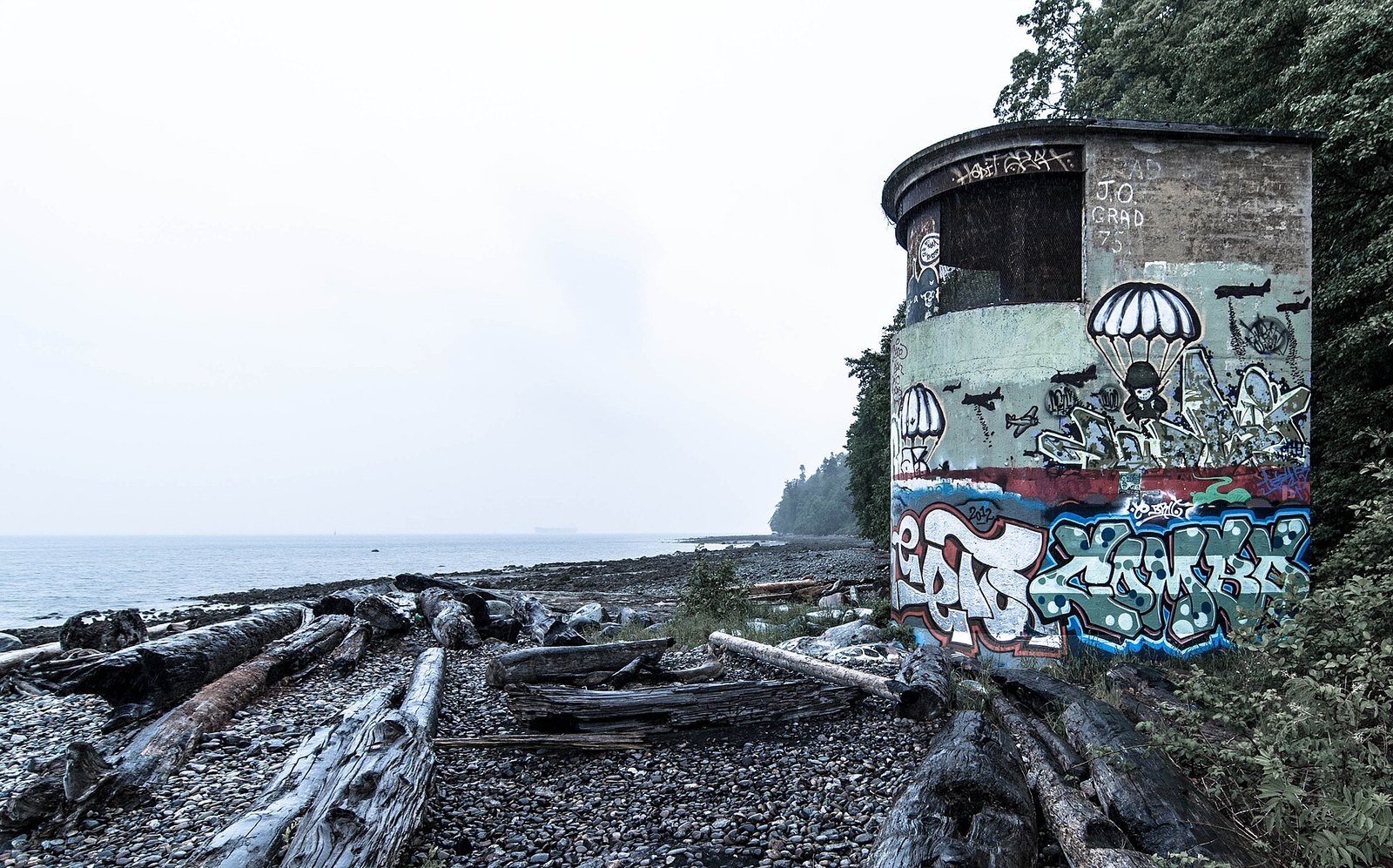
Tower Beach is cobble and driftwood below the Point Grey cliffs. It takes its name from the old searchlight towers on the shore, now covered in graffiti. During the Second World War, the Point Grey Battery had guns on the bluffs above and searchlight towers along the beach.
Metro Vancouver describes the beaches from Acadia Beach west as natural and undeveloped. Every beach access trail except Acadia’s is steep. The whole foreshore except Acadia Beach is clothing-optional. Most people head down Trail 6 to Wreck Beach. Taking Trail 3 or Trail 4 off NW Marine Drive instead is how you get the quieter end.
The Pacific Spirit Park Society lists the foreshore as open from 7 a.m. to sunset. Landslides have damaged sections of the foreshore in recent years, so go at low tide.
Take 4th Avenue or NW Marine Drive west to UBC. Parking is on NW Marine Drive and on campus, and rates aren’t confirmed. Buses on 4th Avenue and Chancellor, and on University Boulevard, stop near the park entrances. Toilets are only at Trail 6 and Acadia Beach. Pack out everything you bring, as the Pacific Spirit park brochure asks.
5. Maple Beach, Whiteshell Beach and Admiralty Point (Belcarra)
Where: South along the shore from the Belcarra Picnic Area
When: All year; opens 7 a.m., closing posted at the gate
Cost: Free entry; parking same as Jug Island
Getting there: Belcarra Picnic Area lot; trail starts near the shoreline washrooms
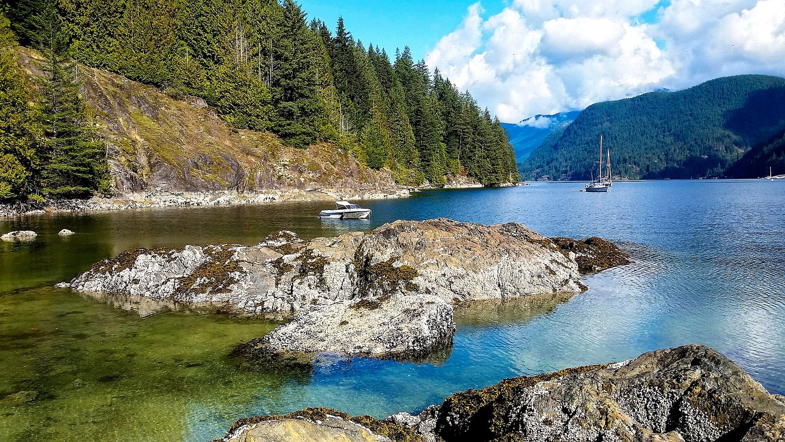
From the same picnic-area lot, a shoreline trail heads south instead of north. It passes small beaches, including Maple Beach and Whiteshell Beach, and reaches Admiralty Point. That’s a rocky headland looking across the water to Deep Cove and Mount Seymour.
Guide sources put Admiralty Point about 2 km from the lot, with Burns Point about 1 km farther. The trail is much flatter than the Jug Island route. Families who want a beach without the climb tend to go this way. The small beaches are good for beachcombing at low tide.
Because the trail runs at sea level, it stays snow-free most of the winter. Park hours are the same as the rest of Belcarra: open at 7 a.m., with closing posted at the gate. The trail starts near the washrooms by the shore.
Burns Point has unfenced drop-offs. Keep kids close there. For a full day, do both: north to Jug Island for the island view, then south for the flat walk to the points.
4. East Beach, West Beach and Starboat Cove (Lighthouse Park, West Vancouver)
Where: Point Atkinson, West Vancouver
When: All year; weekday fall mornings are quietest
Cost: Free entry; paid parking 7 a.m. to 10 p.m. all year
Getting there: Marine Drive west, left on Beacon Lane to the lot
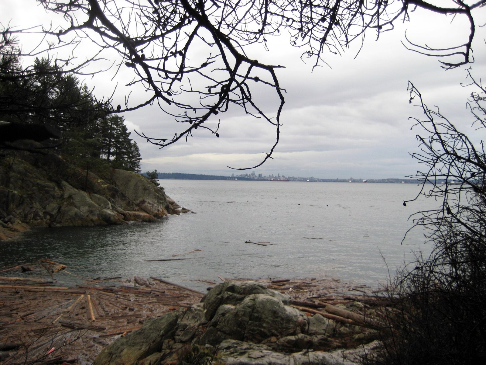
Around Point Atkinson, small rocky beaches and coves sit at the end of trails through old-growth forest. Most visitors walk to the lighthouse and turn around. The coves are what you find when you keep going.
The forest has a reason to be here. The Lighthouse Park Preservation Society says the land was set aside in 1881 as a dark backdrop for the lighthouse, which is why it was never logged. West Vancouver calls it a wilderness park with cliffs, steep terrain and dense forest. Plan on a 25-minute uphill walk from the lighthouse back to the car.
Drive Marine Drive west toward Horseshoe Bay, turn left on Beacon Lane and follow the signs to the lot. Parking is paid all year, 7 a.m. to 10 p.m. The town’s pay parking page lists $5.08 an hour including taxes, and also mentions a lower seasonal rate, so check before you go. Check the page for resident pass options.
No dogs on the beaches. The lot fills fast on sunny days. Weekday mornings in fall are the quietest, and Caulfeild next door makes a good backup.
3. Whytecliff Park and Whyte Islet (West Vancouver)
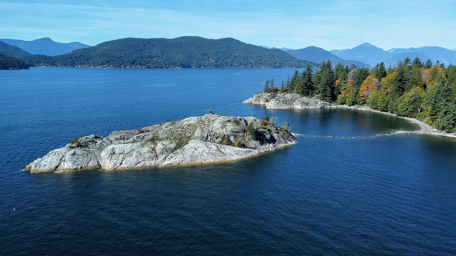
Where: Whytecliff, just west of Horseshoe Bay
When: All year; islet crossing at low tide only
Cost: Free entry; paid parking 7 a.m. to 10 p.m. all year
Getting there: Marine Drive to the end, or bus 250/257 to the Nelson Street roundabout
Whytecliff has a sheltered swimming bay and Whyte Islet, which you can walk out to at low tide. Below the surface is the real draw. Divers report rockfish, lingcod, crab, anemones and harbour seals, plus the occasional wolf eel and giant octopus.
The West Vancouver Archives say these waters became Canada’s first saltwater marine protected area in 1993. That’s why divers come here. It also explains why the marine life is still here to see.
Only cross to the islet at low tide, and check the Point Atkinson tide table first. The tide comes in fast and covers the rock path. Go prepared to turn back early.
Take the Upper Levels Highway toward Horseshoe Bay, exit at Marine Drive and follow it to the end. By transit, check TransLink for buses toward Horseshoe Bay and walk from the nearest stop on Marine Drive. Parking is paid all year, 7 a.m. to 10 p.m. Washrooms are open 7 a.m. to 9 p.m., and there’s a café in the park. No dogs on the beach. Details are on the Whytecliff Park page.
2. Iona Beach and the Jetties (Richmond)
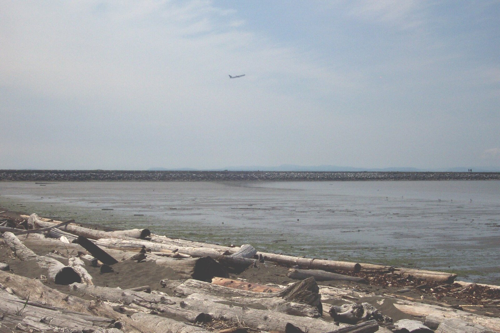
Where: Iona Island, Richmond, north of YVR
When: All year; gate hours posted at entrance
Cost: No fee listed
Getting there: Arthur Laing Bridge, Templeton Street, then Ferguson Road to the end
Iona sits at the mouth of the Fraser River, right next to the airport. A 4 km jetty runs straight out into the Strait of Georgia. The City of Richmond describes the walk as heading toward the setting sun, which is accurate.
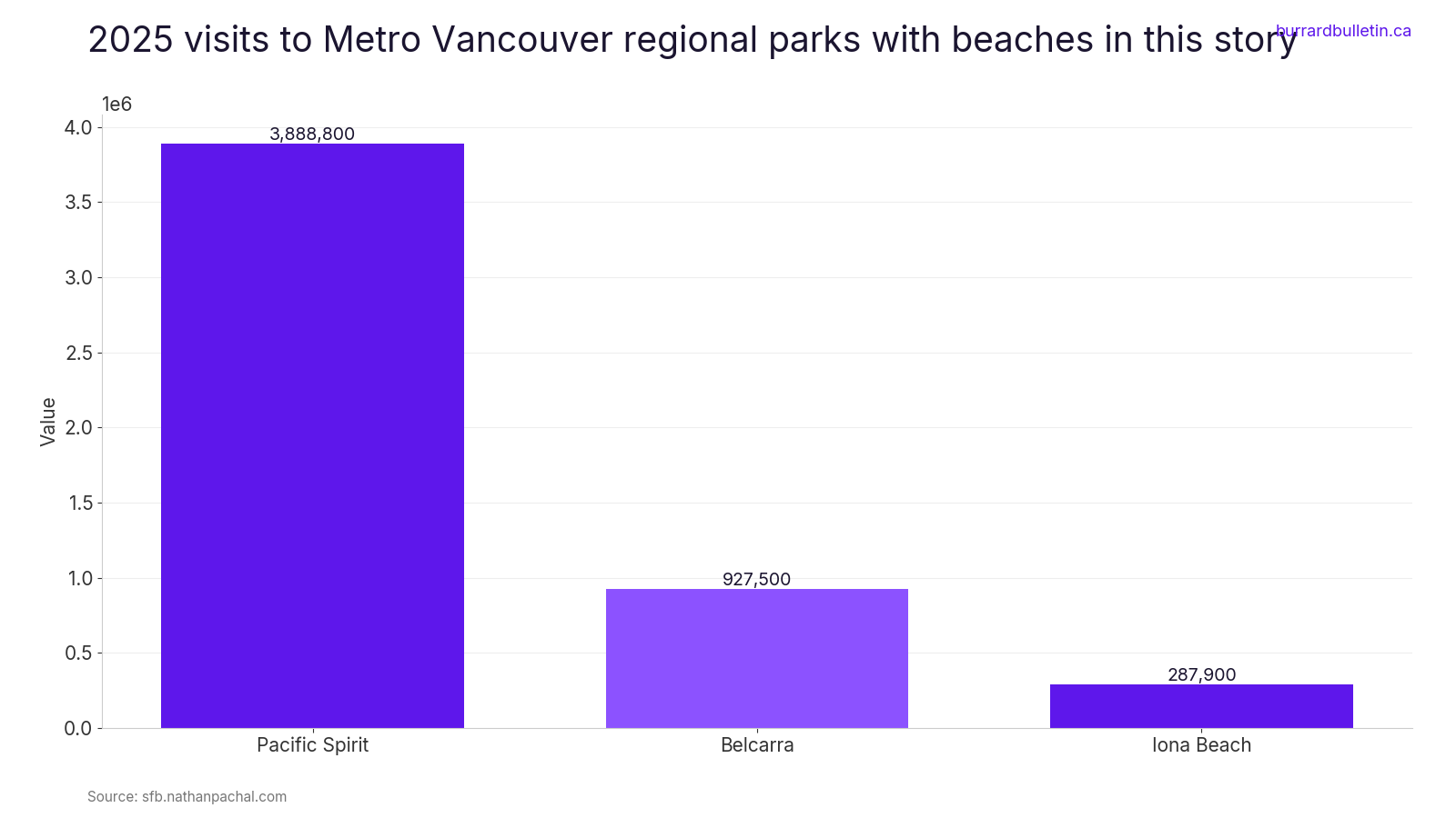
Metro Vancouver allows beach activities between the Iona Jetty and the North Arm Jetty. There’s no supervision, and the park warns about rapid tide changes. It’s especially good at sunset and during spring and fall bird migration. By one count, Iona logged under 300,000 visits in 2025, a fraction of Pacific Spirit’s total.
Take the Arthur Laing Bridge, then Templeton Street, which becomes Ferguson Road and ends at the park. Gate hours change with the season and are posted at the entrance. No parking fee is listed in the sources checked for this story.
The washrooms, boardwalk and viewing platform at South Marsh, and the cycle path on the Iona Jetty, are listed as accessible. Dogs must be leashed everywhere except the lower road on the Iona Jetty. Stay off the jetty in high winds. The Iona Beach park brochure has the full rules.
1. Jug Island Beach (Belcarra)
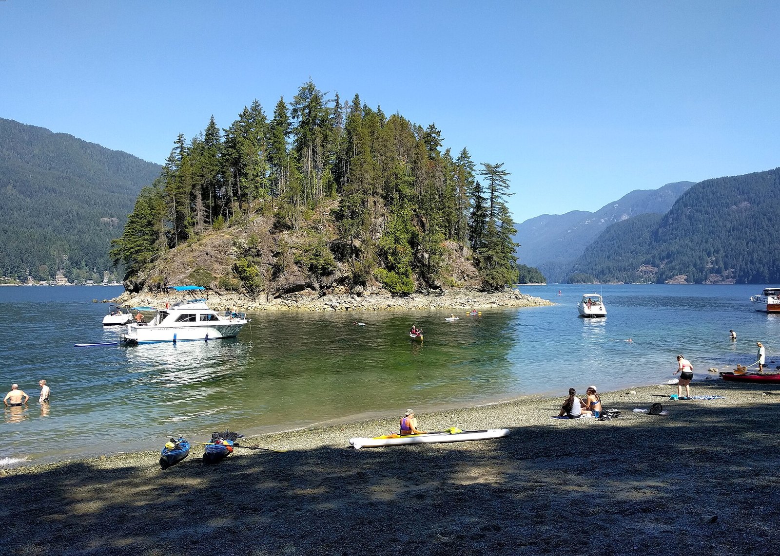
Where: North tip of təmtəmíxʷtən/Belcarra Regional Park
When: All year; opens 7 a.m., closing posted at entrances (never before 5 p.m.)
Cost: Free entry; parking free Oct to Mar, and before 10 a.m. in season
Getting there: Belcarra Picnic Area lot, or bus 181/182 to Bedwell Bay Rd at Midden Rd
This is a pebble beach at the north tip of the Belcarra peninsula. Jug Island sits just offshore. Indian Arm runs north behind it. The view of the island from the beach is the reward.
You can only get there on foot. The trail leaves the woods beside the Belcarra Picnic Area, climbs over a forested ridge and drops steeply to the water. Destination Vancouver lists it at 5.5 km return, 100 m of elevation gain and 2 to 2.5 hours, and rates it easy. The last stretch down is steep and rooty. Wear real shoes.
The park is run by Metro Vancouver. It carries the dual name təmtəmíxʷtən/Belcarra Regional Park, recognizing the Tsleil-Waututh people. It opens at 7 a.m. Closing time is posted at the entrances and is never earlier than 5 p.m. On a late October afternoon, plan to be back up the hill well before then.
Drive east on Hastings and the Barnet Highway (7A), through Port Moody, then take Ioco Road and Bedwell Bay Road. Put Belcarra Picnic Area into your GPS, not the trailhead. The trailhead is off Bedwell Bay Road at Midden Road, across from the picnic-area lot, and it is the one people drive right past. There’s no parking on Bedwell Bay Road, and village streets are permit-only all year. By transit, take SkyTrain to Moody Centre, then bus 181 or 182 to Bedwell Bay Rd at Midden Rd. Dogs stay on leash on the trails. Washrooms are at the picnic area. Check Metro Vancouver’s regional parks site for current Belcarra parking rates before you go in spring.
| Place | Rule |
|---|---|
| Belcarra | Apr 1–Sep 30, $2.50/hr, $15/day max, free before 10am |
| Lighthouse/Whytecliff | All year 7am–10pm, $5.08/hr |
| Kelvin Grove | $3/hr, up to $24/day |
| Brunswick | Resident permit only |
When to go
Fall gives you the best odds of an empty beach. At Belcarra, pay parking runs April 1 to September 30, so October through March is free. In season it’s also free before 10 a.m. West Vancouver is different: Lighthouse and Whytecliff charge for parking all year, 7 a.m. to 10 p.m. Short fall days matter at Belcarra, where closing can be as early as 5 p.m., and on the Point Grey foreshore, which closes at sunset.
Tides
Check the official Point Atkinson tide station (07795) before the Whyte Islet crossing or any foreshore walk. It gives seven-day and hourly predictions of high and low water. Low tide is the safe window for the Point Grey foreshore and the Belcarra beachcombing beaches too. At Iona, Metro Vancouver warns that tides change fast.
Dogs
- West Vancouver: no dogs on any beach unless a sign says otherwise. See the town’s dogs in parks page.
- District of North Vancouver: no dogs on beaches, including Cates Park.
- Belcarra: dogs on leash on trails.
- Iona: leashed everywhere except the lower road on the Iona Jetty.
- Kelvin Grove: off-leash area.
- Pacific Spirit foreshore: official sources conflict, so follow the signs at the trailhead.
What to bring
- Shoes with grip for the steep descents at Jug Island and Point Grey.
- Beach shoes for the pebbles at Porteau Cove.
- A bag to pack out your garbage. Many of these are trail-access beaches, so plan to carry litter back to the trailhead.
- Everything you need for the day at Brunswick Beach and Tower Beach, where there are no toilets.
- A light for short fall afternoons on forest trails.
Etiquette and safety
- The Point Grey foreshore is clothing-optional everywhere except Acadia Beach.
- Enjoy Jug Island from the beach; the trail ends at the shore.
- Lighthouse Park is a wilderness park with cliffs and steep terrain.
- Stay off the Iona Jetty in high winds.
- Use lots, not shoulders or ramps. Belcarra village and Brunswick Beach are resident-permit parking.
Getting there without a car
- Jug Island and Admiralty Point: SkyTrain to Moody Centre, then bus 181 or 182 to Bedwell Bay Rd at Midden Rd.
- Tower and Acadia beaches: buses on 4th Avenue and Chancellor, and on University Boulevard.
- Whytecliff: bus 250 or 257 to the roundabout at Nelson Street.
- Kelvin Grove and Brunswick Beach: TransLink route 262.
- Cates Park: transit access is limited.
Park status
A strike affected Metro Vancouver regional park services recently. Metro Vancouver said the parks stayed open. The current status isn’t confirmed, so check Metro Vancouver before heading to Belcarra, Pacific Spirit or Iona.
The common thread here is effort. A ridge to climb, a cliff trail, a 4 km jetty or a bus instead of a parking spot. That small barrier keeps most people on the main beaches. Check the tide, use the lot, pack out what you bring, and these places stay the way you found them.
Get the weekend plan in your inbox. Burrard Bulletin is a free email on what’s actually on from Vancouver to Whistler. Sign up here.
Photo credits
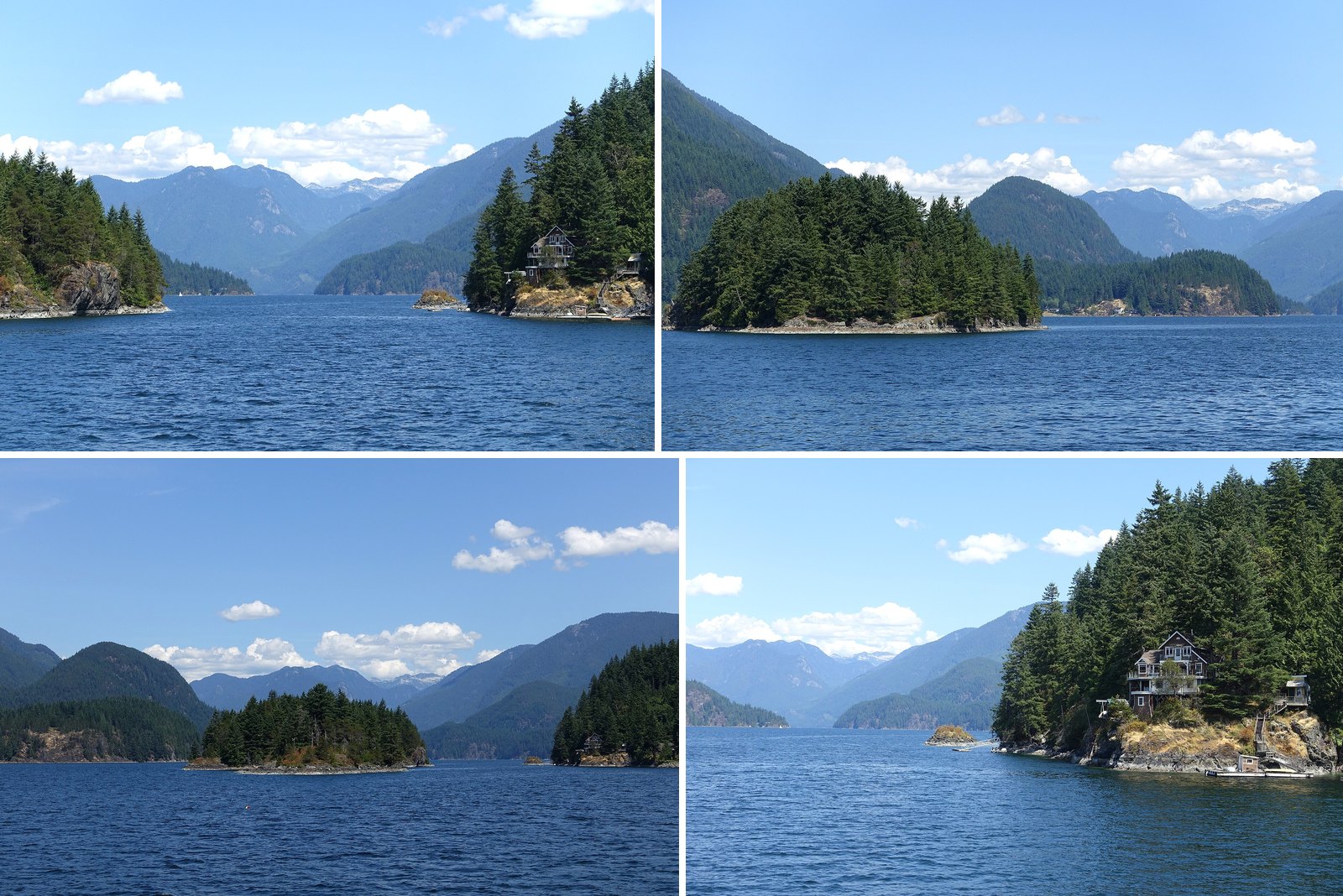
- Indian Arm – near Vancouver, Canada – DSC09472.JPG by Daderot, CC0 (combined into a montage, cropped). Via Wikimedia Commons.
- Indian Arm – near Vancouver, Canada – DSC09454.JPG by Daderot, CC0 (combined into a montage, cropped). Via Wikimedia Commons.
- Indian Arm – near Vancouver, Canada – DSC09455.JPG by Daderot, CC0 (combined into a montage, cropped). Via Wikimedia Commons.
- Indian Arm – near Vancouver, Canada – DSC09477.JPG by Daderot, CC0 (combined into a montage, cropped). Via Wikimedia Commons.
- Busy day at Jug Island beach (29683999475).jpg by Ruth Hartnup from Vancouver, Canada, CC BY 2.0 (resized; cropped for the featured image). Via Wikimedia Commons.
- Bidwell Bay (37397490576).jpg by Mike W. from Vancouver, Canada, CC BY-SA 2.0 (resized). Via Wikimedia Commons.
- Wreck Beach WW2 Instrument Tower, 1 (7237573758).jpg by Colin Knowles from Vancouver, CC BY-SA 2.0 (resized). Via Wikimedia Commons.
- Sunset in Pacific Spirit Regional Park (DSCF0706).jpg by Trougnouf (Benoit Brummer), CC BY-SA 4.0 (resized). Via Wikimedia Commons.
- Iona Beach Regional Park.jpg by User:Usgnus, CC BY-SA 3.0 (resized). Via Wikimedia Commons.
- Lighthouse Park granite rocks.jpg by Emsoule, CC BY-SA 3.0 (resized). Via Wikimedia Commons.
- West Vancouver from the ferry (1).jpg by Ymblanter, CC BY-SA 4.0 (resized). Via Wikimedia Commons.
- Whytecliff Park, West Vancouver.jpg by Northwest, CC BY-SA 4.0 (resized). Via Wikimedia Commons.
- Cates Park 09.JPG by Braveheart, CC BY-SA 4.0 (resized). Via Wikimedia Commons.
- North of Horseshoe Bay, Lions, 1974.jpg by Miranda.Kopetzky, CC BY-SA 4.0 (resized). Via Wikimedia Commons.
- Porteau Cove Provincial Marine Park 01.jpg by Joe Mabel, CC BY 3.0 (resized). Via Wikimedia Commons.