12 Places to Go Storm Watching on the BC Coast This Winter
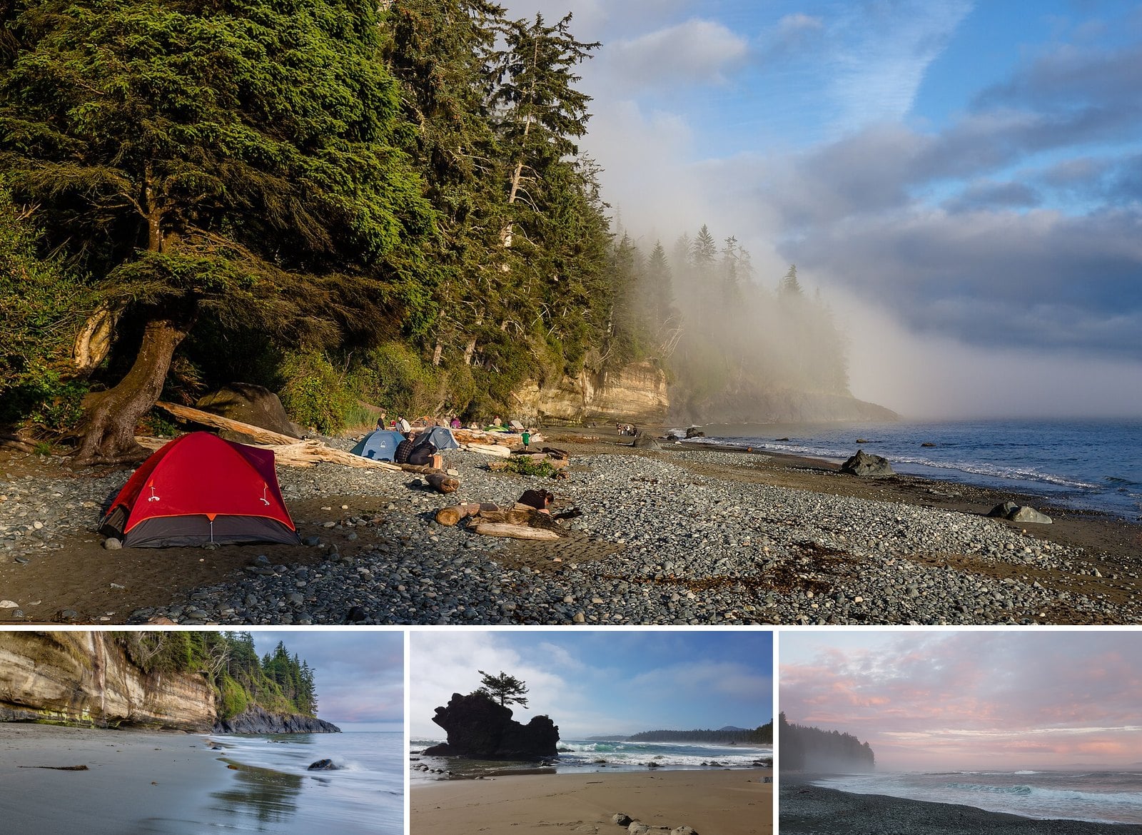
The best weather on the BC coast usually shows up when everyone else has gone home. From November through March, Pacific storms roll in off the open ocean, and the surf at the edge of the Island gets loud. Parks Canada calls that window the most dramatic storm season in Pacific Rim National Park Reserve. It is also clear that storm watching has to happen from a safe distance.
Distance is the catch. During storms, beaches and rocks can go from completely dry to several feet under water in seconds. So most of this list is places with a deck, a lookout, a breakwater, a headland trail or a window between you and the swell. The open beaches are only for watching from well up the sand on a falling tide.
Most of the spots are around Ucluelet and Tofino, where the swell hits hardest. Others are in Victoria, West Vancouver and White Rock for days when the long drive out Highway 4 isn’t on the cards. Each one comes with what it costs, how to get there and when to go.
12. White Rock Pier and Promenade (White Rock)
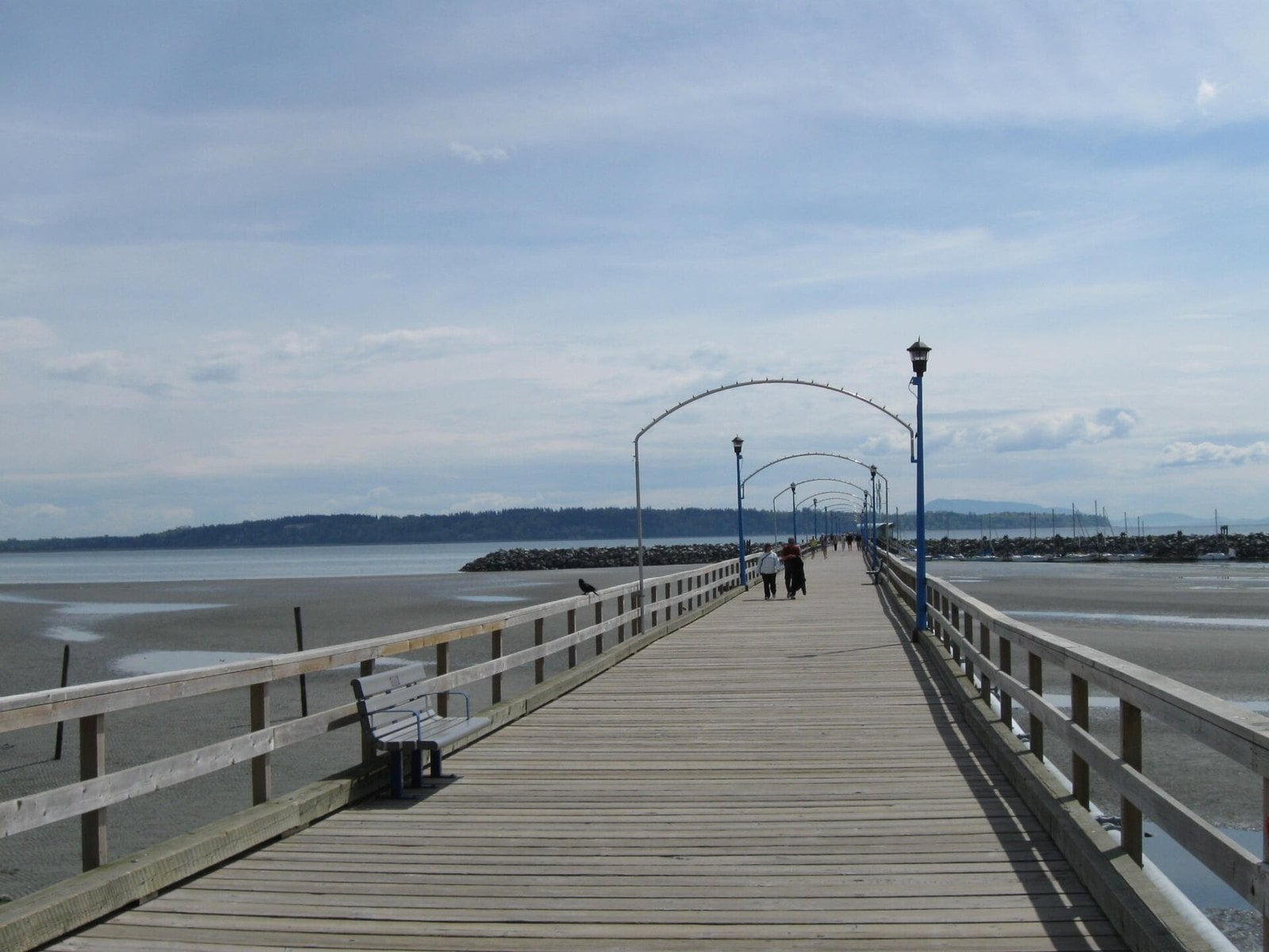
Where: Marine Drive, White Rock, on Semiahmoo Bay
When: Windy winter days; watch from the promenade if the pier closes
Cost: Free; paid waterfront parking
Getting there: Highway 99 south to White Rock, then Marine Drive
This is the Lower Mainland’s best-known storm story, and you can walk out over where it happened. The pier was first built in 1914/15. It runs 470 metres out into Semiahmoo Bay.
On December 20, 2018, a 91 km/h windstorm hit at the same time as heavy rain and a king tide. It destroyed a third of the pier, along with the western wharf and floats. BC Hydro called it the most damaging storm in the utility’s history. In July 2026 the federal government announced a $25.9-million grant toward rebuilding the rest of the timber pier.
Watch from the promenade on windy winter days. Stay off the pier if crews close it in a storm. The city’s interim repairs were scheduled to finish by mid-June 2026, and the full rebuild isn’t expected to start until 2028. Check the city’s pier page before you head down.
Take Highway 99 south to White Rock, then head down to Marine Drive. Waterfront parking is paid. Dogs aren’t allowed on the pier at any time.
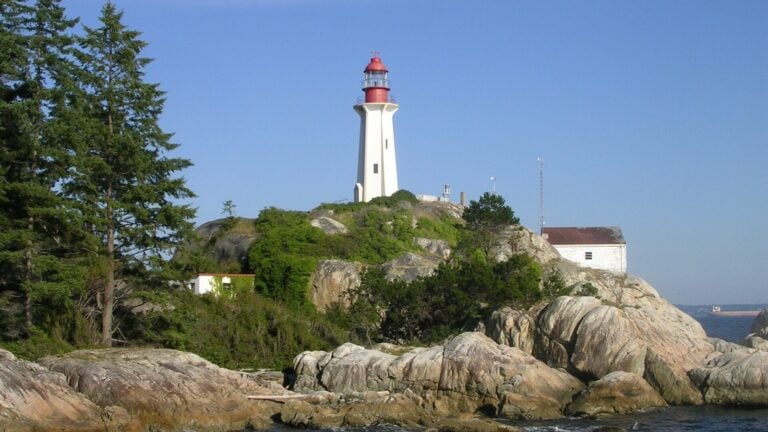
11. Lighthouse Park (West Vancouver)
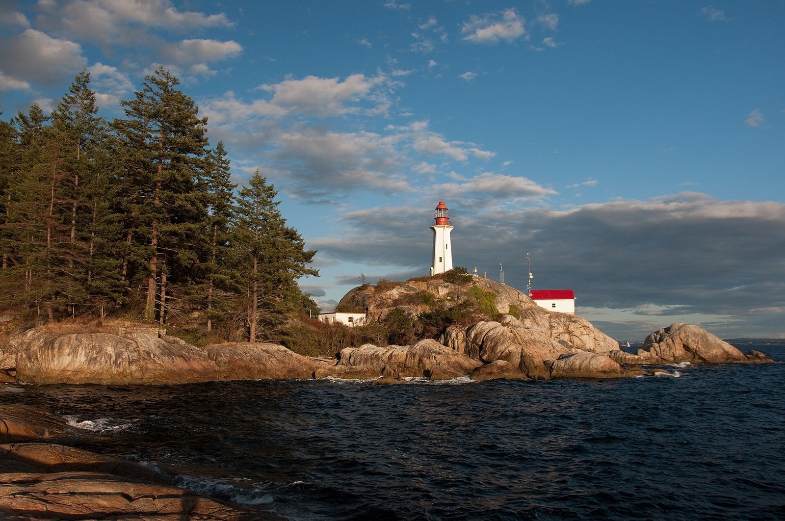
Where: 4902 Beacon Lane, West Vancouver
When: Windy winter days in daylight; open 7 a.m. to 10 p.m.; avoid wind warnings
Cost: Pay parking year-round
Getting there: Marine Drive toward Horseshoe Bay, left on Beacon Lane
This is the closest real storm-watching outing from downtown. You stand on granite bluffs under old-growth trees and watch weather blow in off the Strait of Georgia.
The lighthouse at Point Atkinson is the park’s focal point.
Go on a windy winter day, in daylight. The park is open daily from 7 a.m. to 10 p.m., but go in daylight. Stay away during wind warnings, when falling branches are the bigger risk. The public can’t go onto the light station grounds, so watch from the park’s lighthouse viewpoint. The granite bluffs are steep and slippery in the rain, so keep back from the edge and the surf line.
Drive Marine Drive toward Horseshoe Bay, turn left on Beacon Lane and follow the signs. Pay parking is in effect year-round. Check the district’s Lighthouse Park page for current parking exemptions and resident passes. It pairs easily with Horseshoe Bay or Dundarave.
10. Ogden Point Breakwater (Victoria)
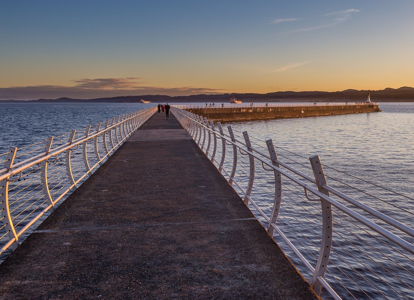
Where: Dallas Road, James Bay, Victoria
When: Southwest gales, especially at high tide; may close in storms
Cost: Free to walk; nearby parking varies
Getting there: Tsawwassen to Swartz Bay ferry, then Dallas Road; beside the cruise terminal
This is the city option on the Island. The granite breakwater at James Bay takes weather off the Strait of Juan de Fuca. It runs about 800 metres out to a lighthouse at the end, with views of the sea, the mountains and boats along the way.
It was completed in 1916, and guardrails came much later. Since 2009 its walls have carried the Unity Wall mural, First Nations artwork about the area’s Indigenous heritage.
It’s most dramatic in southwest gales, especially when they line up with high tides. That’s also when it closes. The harbour authority has shut the upper and lower paths for storm conditions, and it reopened the next morning after one storm. If it’s closed, or waves are coming over the top, watch from the Dallas Road waterfront instead.
Get there on BC Ferries from Tsawwassen to Swartz Bay, then drive to Dallas Road. The breakwater is next to the Ogden Point cruise terminal. Check bcferries.com for sailings and fares.
9. Radar Hill and the Kapyong Memorial (Pacific Rim National Park Reserve)
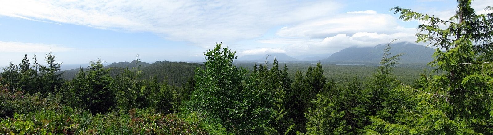
Where: Radar Road off Highway 4, northern boundary of the park near Tofino
When: As a storm arrives or clears; poor visibility in heavy rain
Cost: Parks Canada daily pass
Getting there: Radar Road off Highway 4 to the upper Radar Hill parking lot
Radar Hill gives you the highest vantage point in the Long Beach Unit. You won’t feel any spray up here. What you get is a long view of weather lining up offshore.
The hill was a radar station in the Second World War. The short trail to the top passes the Kapyong memorial, which honours the Korean War battle, and ends at a viewing platform.
The trail is short and paved but very steep, and the observation decks have ramp access. Wheelchair users and people pushing strollers should expect a hard climb.
Come as a storm is arriving or clearing, when you can see far out. In heavy rain the view closes in. The trailhead is at the upper Radar Hill lot, up Radar Road off Highway 4 at the park’s northern boundary, and there’s a pedestrian-controlled crossing on the highway.
8. Amphitrite House Interpretive Centre (Ucluelet)
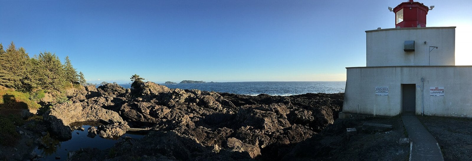
Where: 954 Coast Guard Drive, Ucluelet
When: Daily, 9 a.m. to 4 p.m., year-round
Cost: By donation
Getting there: Same route as the Lighthouse Loop; at the end of Coast Guard Drive beside the lighthouse
This is the dry way to watch the lighthouse take a beating. Amphitrite House is a new interpretive centre with a wraparound observation deck, right beside the light. It opened with a ribbon cutting on March 25, 2025. Inside are hands-on displays, and naturalists are on hand to talk about local marine life and coastal ecosystems.
The site has been a long time coming. In March 2017 the District of Ucluelet bought 18.3 hectares of former Coast Guard land to turn into a recreational park. It now doubles as a trailhead for the Wild Pacific Trail, with views of Barkley Sound and the open Pacific.
The centre is open daily from 9 a.m. to 4 p.m., year-round, by donation, for all ages. The Raincoast Education Society hosts Monday to Friday and the Wild Pacific Trail Society hosts on weekends.
If you’re travelling with kids or grandparents, start here. The Wild Pacific Trail Society posts weather observations on its Facebook and Instagram accounts, so you can check conditions before you leave your room.
7. Florencia Bay Lookout (Pacific Rim National Park Reserve)
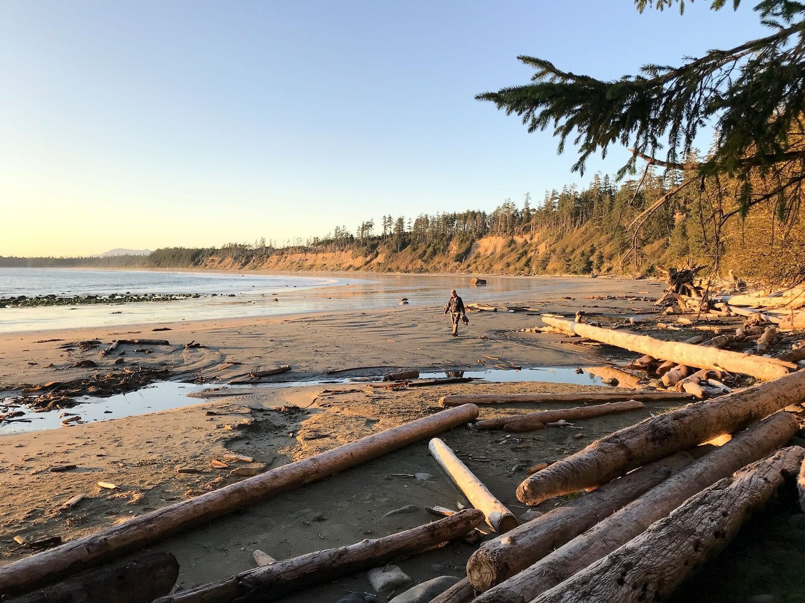
Where: Off Wick Road, Long Beach Unit, Pacific Rim National Park Reserve
When: November to March; beach only at low tide on calm days
Cost: Parks Canada daily pass, $12.25 per adult, youth free
Getting there: Pacific Rim Highway to Wick Road; Florencia Bay lot is on the way to Kwisitis
Florencia Bay is a long, cliff-backed bay at the south end of the Long Beach Unit. The lookout is a viewing deck high above the beach, about 200 metres from the parking lot. From there you watch the swell roll in across the whole bay. Parks Canada lists it as one of its safe storm-watching areas.
Stairs lead down to the sand, but leave them for calm days at low tide. Parks Canada warns that seasonal beach access closures, stair removal, high tides and strong surges can make access here unpredictable and treacherous. In storm conditions, the deck is the place to be.
The parking lot is off Wick Road on the way to Kwisitis, so the two pair easily in one outing. If you do go down on a calm day, check the tides first so you don’t get stuck.
6. Cox Bay (č̓aḥayiis), Tofino
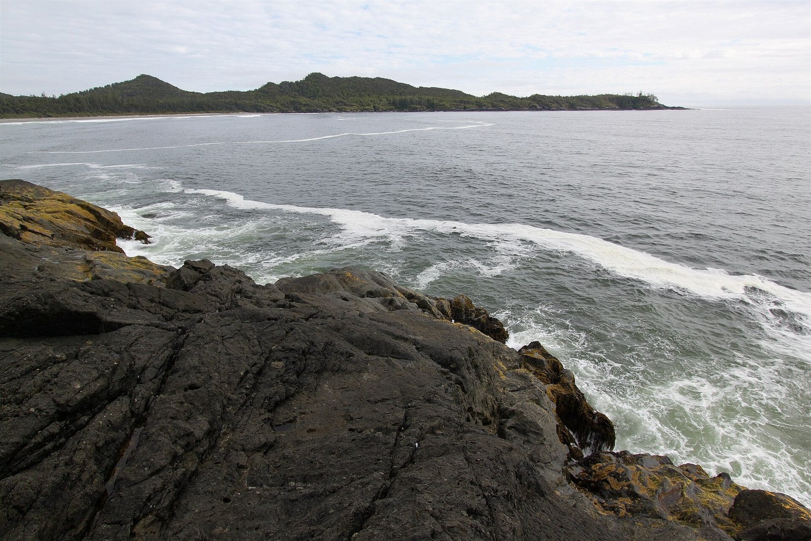
Where: South of Tofino, off the Pacific Rim Highway
When: November to March, on a dropping tide
Cost: Free beach, no park pass needed; pay parking
Getting there: Pacific Rim Highway south of Tofino, then Maltby Road for the south-end access
Cox Bay is Tofino’s main surf beach, and it takes big winter swell head-on. It’s a crescent of sand that hosts most of the town’s surf competitions. Tourism Tofino rates it highly for winter storm watching.
Park on Maltby Road at the south end. From there you can watch waves hit Pettinger Point at the north end of the bay. The point itself is private property belonging to Pacific Sands Beach Resort. Long Beach Lodge Resort, Cox Bay Beach Resort and Surf Grove Campground also front the bay.
Watch from well up the beach on a dropping tide. There are no lifeguards on beaches in Tofino or Pacific Rim National Park Reserve.
Skip the climb people call the Cox Bay Lookout in storm season. It’s an unofficial, unmarked route that starts from the beach and is best reached at low tide, which makes it a poor idea in big surf.
5. The Pointe Restaurant at the Wickaninnish Inn (Tofino)
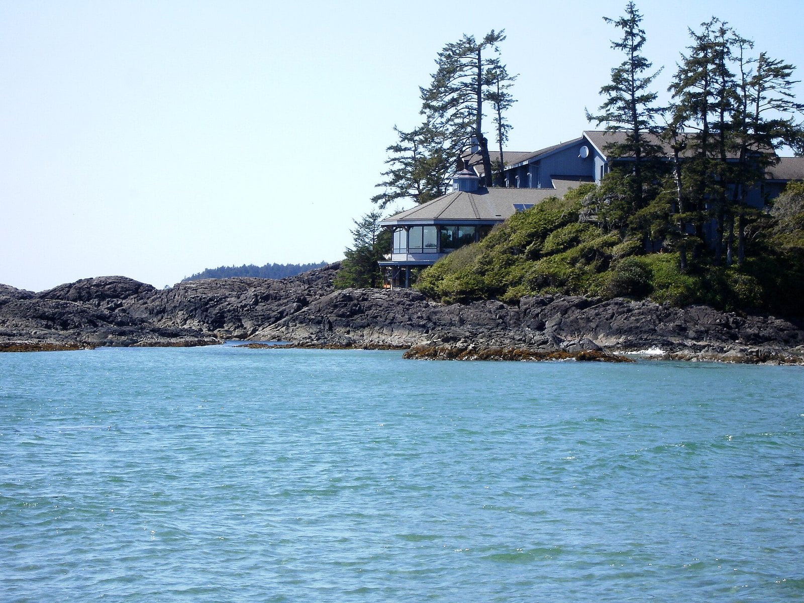
Where: 500 Osprey Lane, north end of Chesterman Beach, Tofino
When: November to March for storms; brunch 8 a.m. to 2 p.m., dinner 5 to 9 p.m. (check before booking)
Cost: Fine dining; check the current menu
Getting there: Pacific Rim Highway just south of Tofino
This is storm watching from a dinner table. The Pointe has a 240-degree view of the Pacific. A microphone outside pipes the sound of the waves into the room, so you hear the surf through the glass.
The Inn says it was designed for storm watching, and from November to March guests can also watch storms from their rooms. It’s the same headland you see from North Chesterman, seen from the other side.
Book ahead and check current hours and the menu with the Inn. Prices aren’t listed here. Plan your beach walk for the dropping tide, then book brunch or dinner for when the tide is high and the waves are biggest.
4. Long Beach (yaaqsis) and Incinerator Rock (Pacific Rim National Park Reserve)
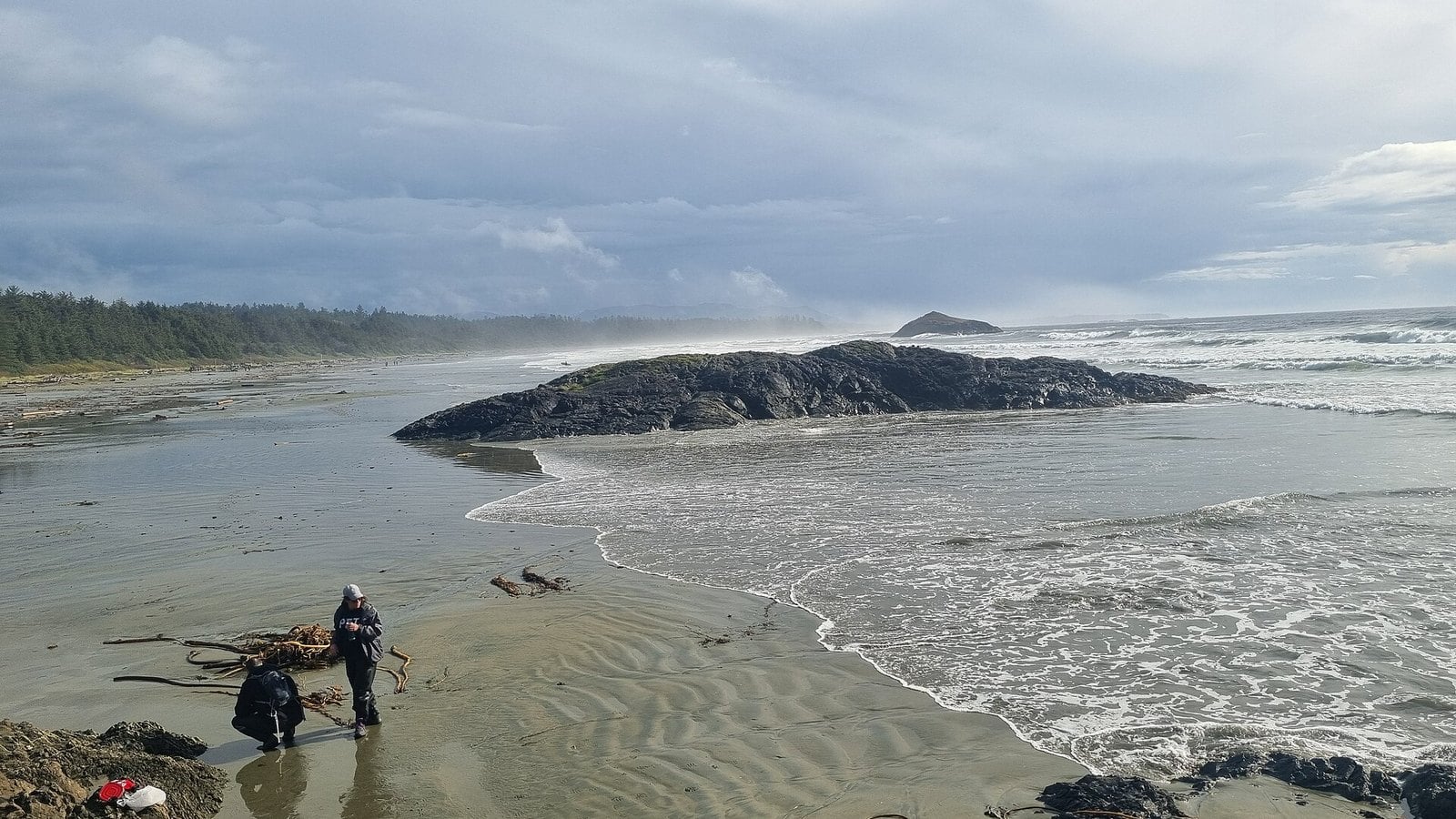
Where: Long Beach Unit, Pacific Rim National Park Reserve, between Tofino and Ucluelet
When: November to March, on a falling tide
Cost: Parks Canada daily pass, $12.25 per adult, $24.50 family/group, youth free
Getting there: Signed lots on the Pacific Rim Highway between the Tofino-Ucluelet junction and Tofino
This is the open sweep of sand that made the park famous. The shoreline runs 16 kilometres, and in a storm Tourism Tofino points you to the waves breaking against čaw̓inʔis (Lovekin Rock). c̓ašiiwa, or Incinerator Rock, sits on the beach and gives you a reference point for how far up the water is reaching.
Watch from the upper beach on a falling tide, not near high tide. Parks Canada says to stay off the beaches and drift logs entirely if the tide or swell is high. Surges can float or roll those logs, and they are heavy.
The Long Beach and Incinerator Rock lots are signed on the Pacific Rim Highway between the Tofino-Ucluelet junction and Tofino. After a storm passes, walk the tide line. It fills up with bull kelp and driftwood.
3. North Chesterman Beach (n̓an̓aquuʔa), Tofino
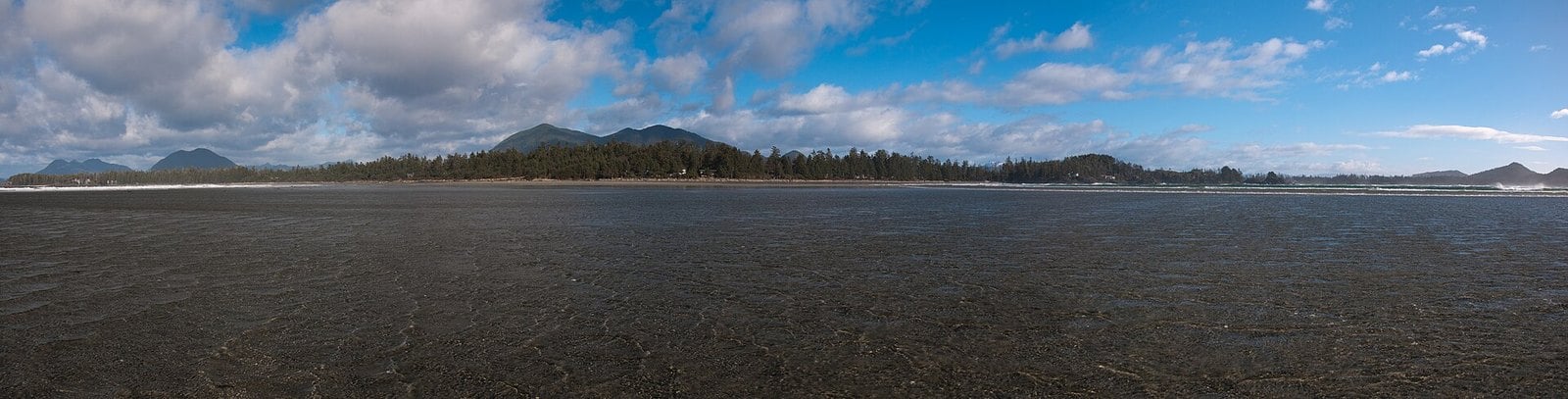
Where: Tofino, off the Pacific Rim Highway
When: November to March, on a falling tide
Cost: Free beach; pay parking
Getting there: Multi-Use Path on foot or bike; Lynn Road by car for the north end
Storm watching as a reason to visit arguably started on this beach. Canadian Geographic reports that the Wickaninnish Inn, on the headland at Chesterman, began marketing storm watching in the 1990s. That turned Tofino’s off-season into a draw of its own.
Watch the waves breaking against the headland at the north end, where the Inn sits. North and South Chesterman together make up more than 2.7 km of white sand, so there’s room to walk on a dropping tide.
You can walk or bike in on Tofino’s Multi-Use Path. By car, use Lynn Road for North Chesterman or Chesterman Beach Road for the south end. Beach pay parking is in effect, and there are public washrooms and showers at the north and south access points.
At low tide a sandspit runs out to Frank Island. Leave it for calm days. The island is privately owned, and access is for residents only.
2. Amphitrite Point Lighthouse (Ucluelet)
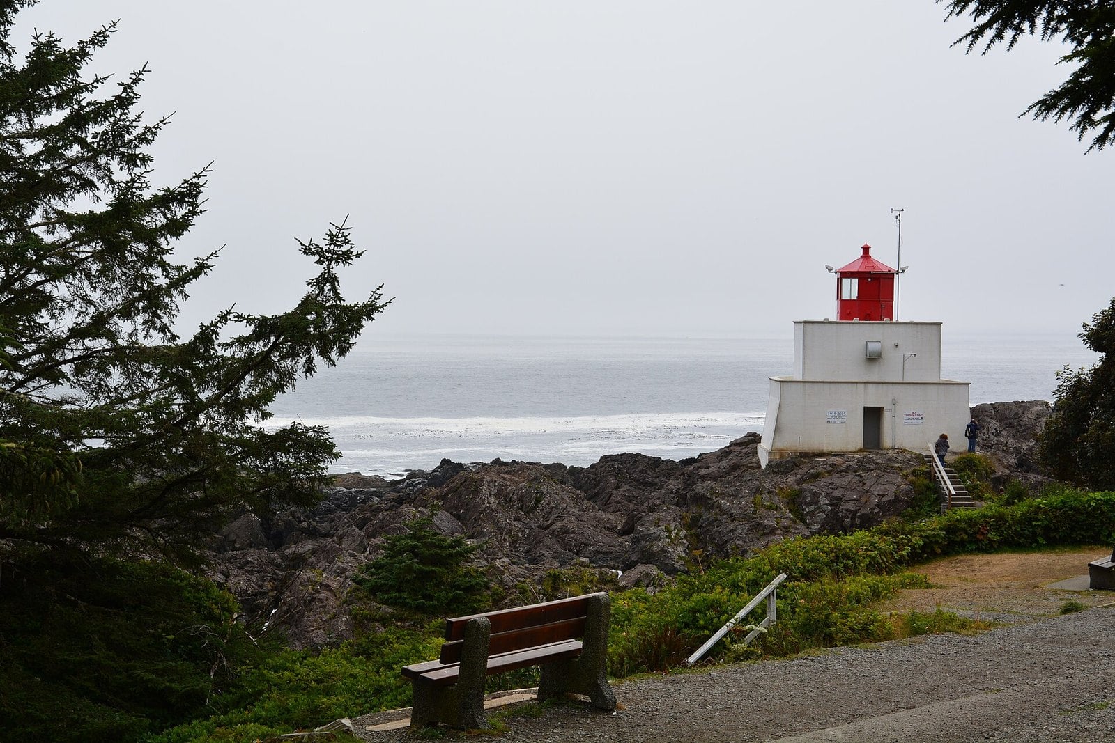
Where: End of Coast Guard Drive, Ucluelet
When: October to April for active seas; daylight hours year-round; closed in extreme winds
Cost: Free; no Parks Canada pass needed
Getting there: Horseshoe Bay to Departure Bay ferry, then Highway 4; about five hours from Vancouver including the ferry
The red-and-white lighthouse at the southern tip of Ucluelet is one of the Island’s most popular storm-watching spots. It sits low on the rock and takes the swell from Barkley Sound and the open Pacific. The Lighthouse Loop of the Wild Pacific Trail gets you there. It’s a 2.6 km loop that takes 30 to 45 minutes and runs along rocky headlands from a gravel lot partway along Coast Guard Drive.
The building has a story. The first light went up in 1906 after the wreck of the Pass of Melfort. The current structure replaced it in 1915 and was designed to stand up to hurricane-force storms. The Wild Pacific Trail Society counts the lighthouse and the overlooks along the trail as safe viewing spots.
The ocean here is usually most active from October to April. The trail is open year-round during daylight hours. It closes in extreme winds because trees can fall, so read the trail society’s storm-watching notes and check the District of Ucluelet’s public notices before you go.
Walk the loop clockwise if you want to reach the lighthouse first. The surface is gravel with some roots and a hill at He-Tin-Kis Park, and it works for strollers. There are portable toilets at the three entrances to the loop.
1. Kwisitis Visitor Centre deck and Wickaninnish Beach (Pacific Rim National Park Reserve)
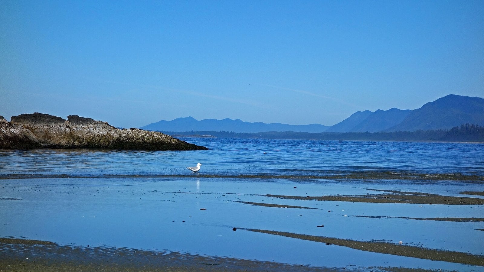
Where: 485 Wick Road, Long Beach Unit, Pacific Rim National Park Reserve
When: November to March; centre open 9:30 a.m. to 4:30 p.m. Friday to Monday, October 27, 2026 to February 1, 2027
Cost: $12.25 per adult per day, youth free, $24.50 family/group
Getting there: Highway 4 to the Tofino-Ucluelet junction, north on the Pacific Rim Highway, then Wick Road to its end
This is Parks Canada’s first pick. The visitor centre sits on a rock at the south end of Wickaninnish Beach, and its observation deck is a designated safe viewing area. So is the stretch of beach from the centre south to the totem pole at Lismer Beach. When Parks Canada issues an extreme wave advisory, it sends people who want to see big waves to this deck and the Florencia Bay Lookout.
The building is a Recognized Federal Heritage Building. Inside are exhibits on Nuu-chah-nulth culture and the park’s natural history.
Hours are the tricky part. This winter, from October 27, 2026 to February 1, 2027, it’s open 9:30 a.m. to 4:30 p.m. four days a week, Friday to Monday. Parks Canada says hours may change without notice, so check the Parks Canada hours page. The deck outside is where you watch either way.
You need a national park pass displayed in your vehicle whenever you stop in the Long Beach Unit. Automated pass machines are at most lots. If a storm surge is forecast, Parks Canada may close some beach lots, so read the park bulletins before you drive out.
| Pass | Adult | Senior | Youth | Family group |
|---|---|---|---|---|
| Daily | $12.25 | $10.75 | Free | $24.50 |
| Pacific Rim annual | $60.50 | $51.50 | Free | $120.75 |
| Parks Canada Discovery Pass | $83.50 | $71.50 | Free | $167.50 |
| Spot | Area | Entry | Shelter |
|---|---|---|---|
| Amphitrite Point / Lighthouse Loop | Ucluelet | Free | Amphitrite House (9–4 daily) |
| Kwisitis deck / Wickaninnish Beach | Pacific Rim NPR | Park pass | Visitor centre (limited winter hours) |
| Florencia Bay Lookout | Pacific Rim NPR | Park pass | None |
| Long Beach | Pacific Rim NPR | Park pass | None |
| Radar Hill | Pacific Rim NPR | Park pass | None |
| Cox Bay | Tofino | Free beach; parking per signs | None |
| North Chesterman | Tofino | Free; pay parking | Washrooms at access points |
| Ogden Point Breakwater | Victoria | Free | None; may close in storms |
| Lighthouse Park | West Vancouver | Free; pay parking | Forest |
| White Rock Pier | White Rock | Free | None |
When to go
Parks Canada calls November through March the most dramatic storm season. The Wild Pacific Trail Society says the ocean is usually most active from October to April, but unexpected waves can come at any time of year.
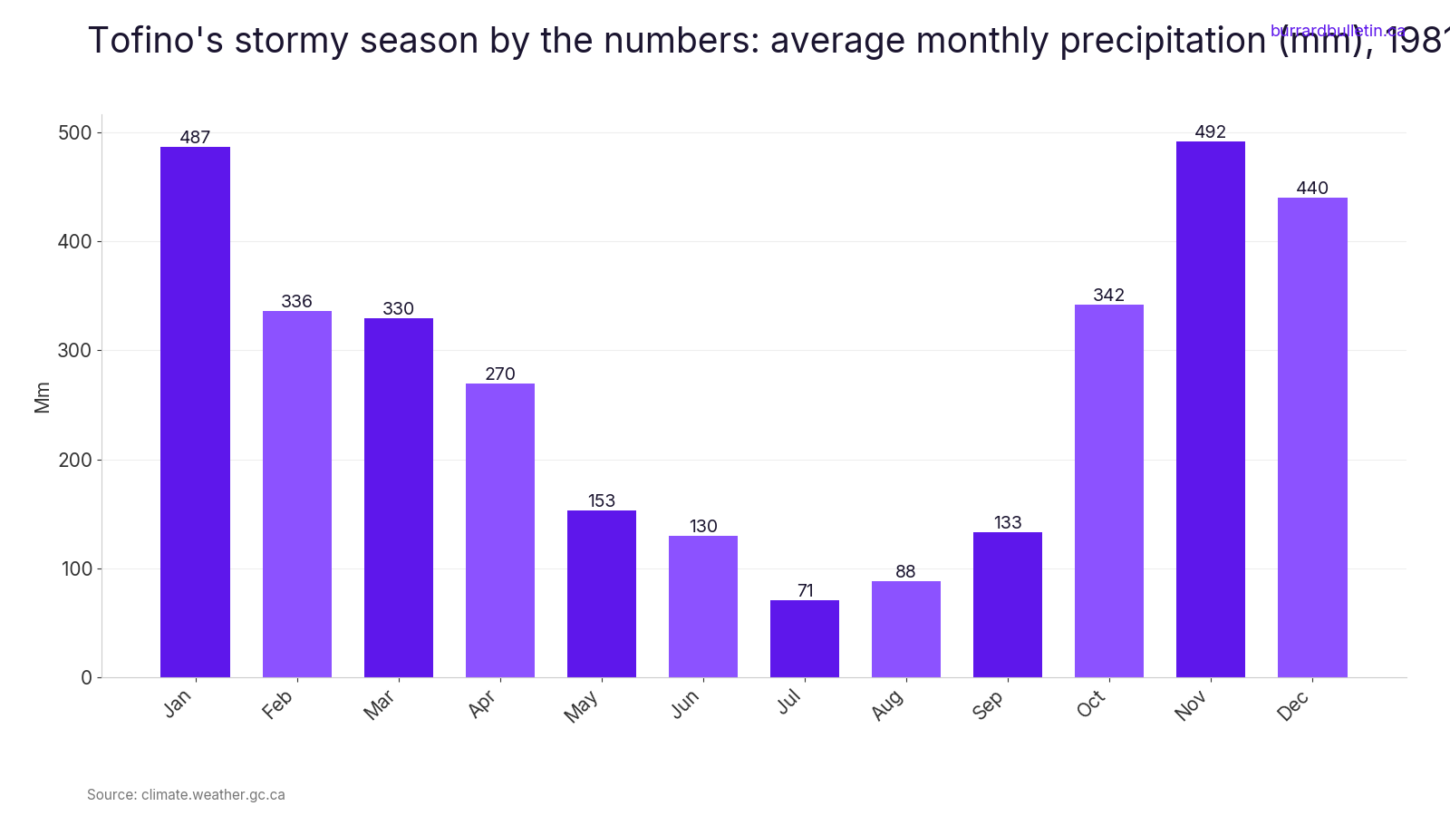
Rain peaks in the same months. Tofino averages about 492 mm of precipitation in November and 487 mm in January, out of 3,270.7 mm a year. The chart below shows how heavily the year leans toward winter. Plan around the tide as much as the forecast. A falling tide gives you more room on the beach. High tide brings the biggest show, best watched from a deck or a window.
Getting there from Vancouver
- All vehicle travel from Horseshoe Bay to Departure Bay must now be booked and paid in advance. Drive-up fares are gone. Booking the return from Nanaimo is recommended but not required.
- Tourism Ucluelet puts Ucluelet about five hours from Vancouver, ferry included. Tofino is about 40 km northwest of Ucluelet.
- From October 1 to March 31, all-season M+S tires or winter tires are required on Highway 4 to Ucluelet.
- Check DriveBC before you leave.
- For Victoria, the ferry runs from Tsawwassen to Swartz Bay. Check bcferries.com for sailings.
Safety: watch from above, never from the rocks
Before you go, check the local forecast, a tide table and the swell forecast. At the park, read the Wave Hazard sign. Stay off beaches and drift logs if the tide or swell is high. Beaches can go from dry to several feet under water in seconds, and surges can float or roll logs. The Wild Pacific Trail Society warns that unexpected waves can sweep you off rocks any time of year, even in calm weather. CoastSmart.ca has more on reading the shoreline.
Parks Canada posts safety information and bulletins, including extreme wave advisories and area closures. All Parks Canada places are no-drone zones for recreational use.
Closer to home: expect closures
City seawalls close in big storms. The Vancouver Park Board has closed sections of the Stanley Park Seawall for high winds and a king tide. On January 7, 2022, a storm surge with a king tide washed away parts of it. If a section is closed, watch from behind the barricades or go somewhere else.
What to bring
- A full waterproof shell: rain jacket and rain pants
- Warm layers and a windbreaker
- Sturdy footwear
- Water. There’s no potable water on the Wild Pacific Trail.
- Binoculars or a camera
- A tide table
- A Parks Canada pass, bought in advance or at the lot machines
Kids and dogs
Keep kids within arm’s reach on beaches and headlands. Amphitrite House and the Kwisitis deck are the easiest spots with children. Leash dogs on beaches, on headlands and on Tofino’s district trails. Dogs aren’t allowed on White Rock Pier at any time.
| Spot | Distance | Good to know |
|---|---|---|
| Lighthouse Loop, Ucluelet | 2.6 km loop, 30 to 45 minutes | Gravel, some roots, one hill; stroller-friendly |
| Florencia Bay Lookout | About 200 m from the lot to the deck | Stay on the deck in storms |
| Radar Hill | 500 m one way, 1 km return | Paved but very steep; ramps to decks |
| Long Beach | 16 km of shoreline | Watch from the upper beach on a falling tide |
| Chesterman Beach | More than 2.7 km of sand, north and south | Frank Island sandspit only on calm days |
| Ogden Point Breakwater | About 800 m (762 m) to the lighthouse | May close in storms |
| White Rock Pier | 470 m | No dogs on the pier |
Storm watching is a winter habit on this coast, and the price of entry is mostly a good rain shell. Pick a spot with something solid between you and the water: a deck, a lookout, a breakwater or a window. Check the tide, the swell and the closures before you leave. Then let the ocean do the work while you stay dry and well back.
Get the weekend plan in your inbox. Burrard Bulletin is a free email on what’s actually on from Vancouver to Whistler. Sign up here.
Photo credits
- Campsite at Mystic Beach, Vancouver Island, Canada.jpg by Michal Klajban, CC BY-SA 4.0 (combined into a montage, cropped). Via Wikimedia Commons.
- Mystic Beach, Vancouver Island, Canada 10.jpg by Michal Klajban, CC BY-SA 4.0 (combined into a montage, cropped). Via Wikimedia Commons.
- Waves Crashing on the Shoreline at the West Coast Trail in Pacific Rim National Park 03.jpg by JanBouma, CC BY-SA 4.0 (combined into a montage, cropped). Via Wikimedia Commons.
- Evening Waves Crashing on the Shoreline at the West Coast Trail in Pacific Rim National Park 02.jpg by JanBouma, CC BY-SA 4.0 (combined into a montage, cropped). Via Wikimedia Commons.
- Wickaninnish Beach (29682387450).jpg by David Abercrombie, CC BY-SA 2.0 (resized; cropped for the featured image). Via Wikimedia Commons.
- Amphitrite lighthouse with trail bench.jpg by Shaundd, CC BY-SA 4.0 (resized). Via Wikimedia Commons.
- AmphitriteLight3.jpg by Sdariun, CC BY-SA 4.0 (resized). Via Wikimedia Commons.
- Florencia Bay (48833409867).jpg by dvs from Vermont, USA, CC BY 2.0 (resized). Via Wikimedia Commons.
- Long Beach from Incinerator Rock.jpg by Paul W, CC0 (resized). Via Wikimedia Commons.
- Pacific Rim National Park – Radar Hill Trail (3670373189).jpg by Kyla Duhamel from Saskatoon, Canada, CC BY 2.0 (resized). Via Wikimedia Commons.
- Cox Bay, south of Tofino BC (5946321532).jpg by Roy Luck, CC BY 2.0 (resized). Via Wikimedia Commons.
- Chesterman Beach (5436881818).jpg by popejon2 from Paddington, Australia, CC BY 2.0 (resized). Via Wikimedia Commons.
- Wickaninnish Inn – panoramio.jpg by Jack Borno, CC BY-SA 3.0 (resized). Via Wikimedia Commons.
- Ogden Point Breakwater, Victoria, British Columbia, Canada 02.jpg by Michal Klajban, CC BY-SA 4.0 (resized). Via Wikimedia Commons.
- Point Atkinson Lighthouse – CA-BC.jpg by Jonathan Pope from Vancouver, Canada, CC BY 2.0 (resized). Via Wikimedia Commons.
- White Rock Pier view1.jpg by Leoboudv, CC BY-SA 3.0 (resized). Via Wikimedia Commons.